Coalville, Utah
Top Spots in and near Coalville
-
Evanston, Utah
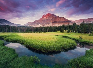
Amethyst Basin via Christmas Meadows
4.512.57 mi / 2303 ft gainDirections: The trail leaves from the Christmas Meadows Trailhead. From Mirror Lake Scenic Byway (US 150) turn on Christmas Meadows Rd. The campground and trailhead are around 3.5 miles down the road dirt road. The road is suitable for low clearance vehicles. Trip Length: 6 miles each way + opt...Read more -
Sandy, Utah
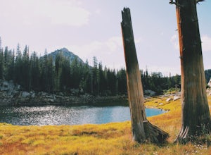
Upper Bell Canyon Reservoir via Bell Canyon Trail
4.39.12 mi / 4285 ft gainThis is one of my favorite spots in the state of Utah! It is completely secluded high up on the Wasatch front. You can hike here for a nice relaxing day, an overnight camping trip, or do a little fly fishing and hook some fun little brooke and cutthroat trout. The Bell Canyon trail is one of the...Read more -
Sandy, Utah
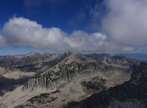
South Thunder Mountain via Bell Canyon
11.78 mi / 5968 ft gainStarting at the Bell's Canyon trailhead, the trail follows a river for most of the way, passing two reservoirs and two waterfalls. This trail is intermediate, depending on your destination. The first and most commonly visited section of the trail is the first reservoir. An easy hike of less than ...Read more -
Provo, Utah
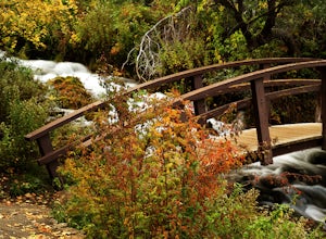
Explore Scenic Cascade Springs
4.7One of the most photogenic spots of the Timpanogos Canyon. If you take the Alpine loop you will see a sign to turn off and go to Cascade Springs. It's about a 15 minute drive from there. The parking lot is right next to the springs. The best time to go is during the fall when the leaves are chang...Read more -
Ogden, Utah
Hike the Wheeler Creek and Icebox Canyon Loop
4 mi / 400 ft gainTo get to the trailhead from Ogden drive up Ogden Canyon toward Pine View Reservoir. Right when the canyon begins to open up and you can see the actual dam there is a turn off on the south side of the road that leads down a dirt road to a very small parking area and the trailhead. If the parking ...Read more -
Wasatch County, Utah
Capture the Sunrise above Cascade Springs
Head towards Cascade Springs from either Provo or American Fork Canyons. As you approach Cascade Springs, a couple miles out watch for small turn-outs on the right side of the road. There should be just enough room for you to park in a variety of locations on the way down to the springs. Hop out ...Read more -
Evanston, Utah
Backpack Mount Beulah via East Fork of the Bear River Trailhead
5.018 mi / 3423 ft gainGetting thereThis trip could be crammed into a really long day or even two days, but give yourself three days to really enjoy the area and not be too pressed for time.Your departure point is the East Fork of the Bear River Trailhead on the north slope of the Uintah Mountains. For most, this will ...Read more -
Ogden, Utah
Waterfall Canyon Trail via Ogden Park
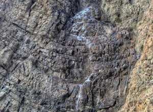
3.03.3 mi / 1699 ft gainWaterfall Canyon Trail via Ogden Park is an out-and-back trail that takes you by a waterfall located near Ogden, Utah.Read more -
Sandy, Utah
Dimple Dell Trail West
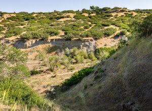
3.88 mi / 236 ft gainDimple Dell Trail West is an out-and-back trail where you may see beautiful wildflowers located near Sandy, Utah.Read more -
Layton, Utah
Stroll through the Great Salt Lake Shorelands Preserve
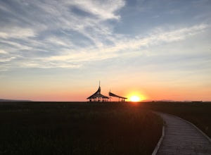
5.01 miThe wetlands of The Nature Conservancy's Great Salt Lake Shorelands Preserve are a unique system of salt and fresh water marshes, ponds, pools, sloughs and mudflats. It is a rich feeding ground for tens of thousands of migrating birds, making this destination a birder's paradise.Great for all ski...Read more -
Ogden, Utah
Waterfall Canyon
4.02.44 mi / 1394 ft gainWaterfall Canyon is one of the most popular hikes in the Ogden area. The trailhead is easy to find, just head east on 29th street until you hit the base of the mountains and the parking lot is on the right. There are plenty of parking spots and restrooms but sometimes the restrooms are locked. T...Read more -
Ogden, Utah
Malans Peak
5.04.3 mi / 2129 ft gainYou can reach this trail either via 27th Street or 29th Street in Ogden, Utah. Get on one of those roads and then head east until you reach the mountain. On 27th St. there is some parking on the road with a sign reminding people to keep their dogs on leash. On 29th St. there is a large parking lo...Read more -
Provo, Utah
Hike the Pine Hollow Trail
4.04.4 mi / 1100 ft gainThe trailhead (Forest Trail 047 - Pine Hollow Trail) starts across the street from a turnout about .5 miles above Mutual Dell in American Fork Canyon. This highly trafficked trail is used for just about every activity you can think of, meaning that you can even snowshoe this in the winter. It's a...Read more -
Alpine, Utah
Horsetail Falls - Dry Canyon
5.04.01 mi / 1808 ft gainHorsetail Falls is a somewhat short hike located near Alpine, UT. The hike has good elevation gain and will make you work a bit to get there. The reward is worth the effort as you arrive at the falls and take a great view while being refreshed in the mist of the falls. The trail is straightforwar...Read more -
Alpine, Utah
Day Hike to South Thunder Mountain
12.2 mi / 5604 ft gainThe summit of South Thunder Mountain, sitting at 11,154 ft, is a superb peak. Located on the Alpine Ridge of the Wasatch Mountains, this peak is criminally overlooked.The Schoolhouse Springs trailhead leads you onto an old dirt road, that switchbacks for about 2 miles through the foothills, befor...Read more -
Draper, Utah
Lone Peak via the Cherry Creek Logging Trail
14.8 mi / 6378 ft gainYou start this trail at the Orson Smith Park in Draper. It joins with the Bonneville Shoreline Trail briefly before turning off onto the cherry creek logging trail. It switchbacks for a long ways exposed on towards the valley. It is fairly steep in places, but doable. I had tennis shoes with ...Read more

