Coalville, Utah
Looking for the best chillin in Coalville? We've got you covered with the top trails, trips, hiking, backpacking, camping and more around Coalville. The detailed guides, photos, and reviews are all submitted by the Outbound community.
Top Chillin Spots in and near Coalville
-
Cottonwood Heights, Utah
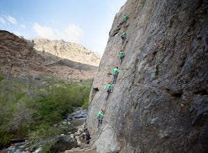
Rock Climbing at Dogwood
4.4If you can avoid the crowds, Dogwood is an easy crag to get to with a lot of 5.fun climbs and a legendary 5.13a sport climb. From the mouth of Big Cottonwood Canyon, the Dogwood picnic area is 1.1 miles up the canyon. Park on the street to avoid having to pay $8 and walk into the picnic area. Fol...Read more -
Kamas, Utah
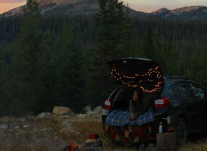
Camp at Shallow Lake Meadow
Located 1.5 hours from Salt Lake Cityand just 1 hour from Park City this mountain meadow is a great placeto take your next adventure! Getting there was a piece of cake, theroad is mainly paved then turns to lava...I mean gravel for the lastmile. Along the road are several already established camp...Read more -
Sandy, Utah
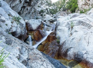
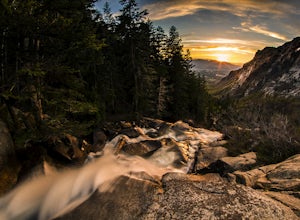
Explore Little Cottonwood Canyon's Lisa Falls
3.8Lisa Falls sits approximately 0.22 miles from Little Cottonwood Canyon Road. While the trail is not long or particularly steep, there are some large step ups that could be difficult for either the very old or very young. Nonetheless, this is a great option for a family outing.Once you arrive at t...Read more -
Hanna, Utah
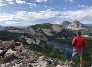
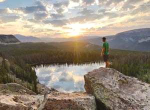
Hike to Cuberant Lake
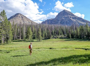
6 mi / 1066 ft gainThe hike to Cuberant Lake is 3-miles with a couple of steeper sections, but for the most part, it is a flat hike. From the Pass Lake Trailhead, you will head west on the Lofty Lake Loop Trail. On this part of the trail, you pass through meadows with Bald and Reid Peaks in the background, which is...Read more -
Hanna, Utah
Hike the Lofty Lake Loop Trail
4.54.2 mi / 935 ft gainLofty Lake Loop Trail is located in the High Uintas near Kamas, Utah. The trail can be found right off the Mirror Lake Scenic Byway about 32 miles east of Kamas and starts at the Pass Lake Trailhead. This is a fairly mellow trail with some areas of good elevation gain, enough to get your heart w...Read more -
Kamas, Utah
Backpack to Notch Lake
5.04.6 mi / -600 ft gainThe hike to Notch Lake begins at the Bald Mountain trailhead. You'll need to display a recreation pass in your vehicle to park at the trailhead. You can purchase a pass for $6 at the fee station entering the forest boundary (east of Kamas) or at the Forest Service office right in Kamas. Take the ...Read more -
Oakley, Utah
Backpack to Cutthroat Lake
4 mi / 280 ft gainThere isn't a trail to Cutthroat Lake so for a portion of the hike will be cross-country. I highly recommend bringing a GPS but with intermediate route-finding skills you should be able to find your way. We used the Gaia GPS app and this made the hike much easier. The distance depends on the r...Read more -
Kamas, Utah
Camp up Murdock Basin Road
4.0Murdock Basin Road is located about 22 miles up Mirror Lake Highway (UT-150) from Kamas, UT. After turning right onto Murdock Basin Rd, you'll cross a bridge over the Provo River and then it's onto the dirt road. Sites are scattered on the left and right (I suggest the left side spots) with plent...Read more -
Sandy, Utah
Bell Canyon's Waterfall
4.64.64 mi / 1549 ft gainIf you keep a steady pace, the hike takes about an hour each way, so allow time when trying to catch the sunset. The hike is pretty easy until right before you reach the falls, where there is a big, steep hill you have to climb. From the parking lot/trailhead, head up the path and head left when...Read more -
Hanna, Utah
Camp at Pyramid Lake in Murdock Basin of Utah's Uinta Mountains
Grab a fishing pole, hammock, or book. Pyramid Lake is the perfect setting to kick back and relax in Murdock Basin of Utah's Uinta Mountains! Pyramid Lake is at an elevation of 9,700 feet with a 1,000-foot tall mountain directly to the west of the lake. Due to this steep face butting up to the e...Read more -
Provo, Utah
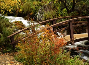
Explore Scenic Cascade Springs
4.7One of the most photogenic spots of the Timpanogos Canyon. If you take the Alpine loop you will see a sign to turn off and go to Cascade Springs. It's about a 15 minute drive from there. The parking lot is right next to the springs. The best time to go is during the fall when the leaves are chang...Read more -
Layton, Utah
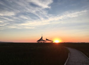
Stroll through the Great Salt Lake Shorelands Preserve
5.01 miThe wetlands of The Nature Conservancy's Great Salt Lake Shorelands Preserve are a unique system of salt and fresh water marshes, ponds, pools, sloughs and mudflats. It is a rich feeding ground for tens of thousands of migrating birds, making this destination a birder's paradise.Great for all ski...Read more -
Provo, Utah
Hike the Pine Hollow Trail
4.04.4 mi / 1100 ft gainThe trailhead (Forest Trail 047 - Pine Hollow Trail) starts across the street from a turnout about .5 miles above Mutual Dell in American Fork Canyon. This highly trafficked trail is used for just about every activity you can think of, meaning that you can even snowshoe this in the winter. It's a...Read more -
Provo, Utah
Camp at Timpooneke Campground
5.0The Timpooneke Campground sits at 7,400 ft. elevation with views of Mount Timpanogos and campsites surrounded by beautiful aspen, fir and spruce trees. The leaves in the fall put on a show you will not want to miss. Within the campground there are 9 equestrian sites, 1 large group site and 20 sta...Read more -
Provo, Utah
Hike Mount Timpanogos via Aspen Grove
4.014 mi / 5140 ft gainThe Aspen Grove trail is shorter but a bit steeper than the Timpanooke Trail. This usually means that fewer people take this route, and on an extremely popular mountain like Timpanogos, that’s a good thing. The trail is 14 miles round trip with an elevation gain of 5,140 feet. The hike begins at...Read more -
South Jordan, Utah
Fish at the East Riverfront Fishing Ponds
5.00 mi / 0 ft gainThese are great little ponds located at 11267 S. River Front Pkwy in South Jordan. It is just off of a section of the Jordan River. Kidney Pond is the one located just by the parking. Midas is just above and you can see it from the parking. You can fish here for rainbow trout, channel catfish, bl...Read more

