Castle Valley, Utah
Looking for the best photography in Castle Valley? We've got you covered with the top trails, trips, hiking, backpacking, camping and more around Castle Valley. The detailed guides, photos, and reviews are all submitted by the Outbound community.
Top Photography Spots in and near Castle Valley
-
Moab, Utah
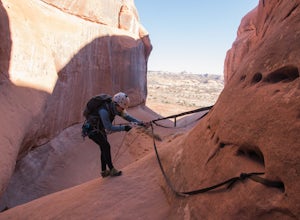
Rappel Big Horn Canyon
3.5 mi / 500 ft gainThis canyon requires an Arches Canyoneering Permit, two 60m ropes, 100 ft of webbing, and your normal canyoneering kit. To reach the parking for the canyon, drive five miles or so into Arches until you reach a bridge. Shortly after the bridge, there will be a pull-off to the left where you can ...Read more -
Moab, Utah
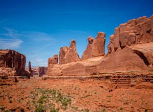
Park Avenue Trail
4.21.83 mi / 318 ft gainFrom the Park Avenue Trail parking area, you can walk up towards the lookout and admire the beauty, or you can hike down the steep path towards the canyon. The trail takes you down the wash to Courthouse Towers. You can either hike round trip to Courthouse Towers and back, or have someone drop yo...Read more -
Moab, Utah
Descend MMI Canyon
3 mi / 700 ft gainFor this descent you will need to be comfortable with 4th class slick rock, have two 60m ropes, and an Arches National Park canyoneering permit along with your usual canyon kit. MMI Canyon can be accessed with 4WD/AWD as long as it has not rained. The pin on the map will take you to this locati...Read more -
Moab, Utah
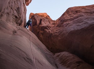
Descend Lost and Found Canyon
4 mi / 600 ft gainFor this descent you will need two 60 meter ropes, an Arches National Park canyoneering permit, be comfortable with 4th class slick rock, and have your usual canyoneering kit. This canyon does require some basic chimneying and canyoneering climbing techniques as well. The trailhead can be reache...Read more -
Grand County, Utah
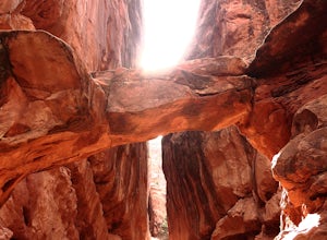
Fiery Furnace Loop
4.51.53 mi / 328 ft gainArches National Park is an incredible place with a variety of places to explore. One of the great places to explore is the Fiery Furnace. The Fiery Furnace requires a permit, which can be obtained at the Visitor Center after watching a short video. For the most part, they are making sure you are ...Read more -
Moab, Utah
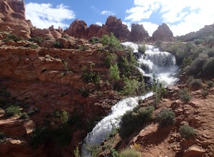
Explore Faux Falls
1 mi / 200 ft gainFaux Falls is located near the Ken's Lake campground off Route 191, 20 minutes south of Moab. When I was there it was during several days of thunderstorms. The waterfall was really gushing. Not sure how much water is running when there hasn't been rain in a while. The falls can be seen from the ...Read more -
Moab, Utah
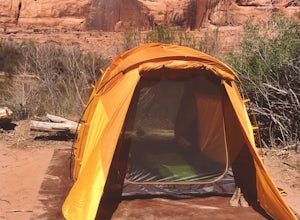
Camp at King's Bottom
4.0Kane Creek is a massive canyon, with the Colorado river at it's feet and red cliffs towering on either side. There are numerous trail heads and campgrounds the farther you explore into the canyon. However, these sites fill up fast. The canyon restricts camping to only designated sites, capping th...Read more -
Moab, Utah
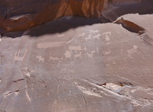
Visit the Potash Road Petroglyphs
4.4Just north of Moab driving out on route 191, look for Potash Road, also known as route 279 just after the Colorado River. Turn left on Potash road and and drive five miles south. You will see a paved pull-out on the Colorado River side of the road with a sign for the petroglyphs. The rock art i...Read more -
Moab, Utah
Camp at Williams Bottom Campground in Moab
4.0Williams Bottom Campground and its 17 first-come first-serve campsites are tucked into the side of the Colorado River Canyon on Utah Highway 279 aka "Potash Road" just 15 minutes from downtown Moab. It is commonly known as one of *the* rock climbing campground on the west side of Moab, as there a...Read more -
Moab, Utah
Drive Chicken Corners
5.0From Moab, take Kane Creek Blvd out of town towards the beginning of the trailhead at the Kane Creek Recreation Parking Lot. From there, the trail is pretty much the only route available. The drive follows along a very smooth dirt road for the first six miles. Here, take a right to follow towards...Read more -
Moab, Utah
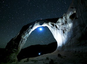
Night Photography at Corona Arch
5.03 miFirst and foremost: Don't attempt to climb the arch at night. It's potentially unsafe and the BLM has banned roped activities meaning that you would have to go ropeless. Save this activity for the daytime or avoid it altogether. This is a quick 1.5 mile one-way hike to the arch. The trail is well...Read more -
Moab, Utah
Visit the Poison Spider Petroglyphs
4.30.5 mi / 250 ft gainNot many people visit this petroglyph site because of the steep access trail. From the Poison Spider parking lot, walk the trail that leads to the slab with an obvious dinosaur track highlighted when people put plaster in the track to make a mold. This, of course, is prohibited. Work your way up...Read more -
Moab, Utah
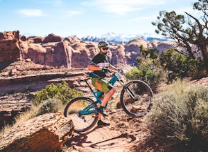
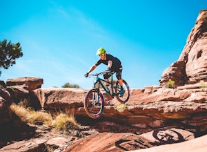
Mountain Bike Amasa Back / Cliffhanger Trail
9.1 mi / 1410 ft gainAmasa Back / Cliffhanger is the primary entry point into one of the most fantastic mountain biking trail networks in the Moab area, connecting into Captain Ahab, Rockstacker, HyMasa, and Jacksons Trails. To get there take Kane Creek Blvd. from Moab into Kane Springs Creek Canyon. The road will qu...Read more -
Moab, Utah
Mountain Bike HyMasa Trail
3.2 mi / 755 ft gainHyMasa trail is the latest in the fantastic Kane Creek Mountain Biking trail network and is now the preferred route for connecting to the iconic Captain Ahab Loop, allowing riders to bypass larges portions of the Amasa Back / Cliffhanger Jeep trail. To get there take Kane Creek Blvd. from Moab in...Read more -
Cisco, Utah
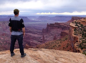
Off Road to the Top of The World
13.2 mi / 2000 ft gainThe off road trail called Top of the World is a dirt road meant for *OFF ROAD VEHICLES ONLY*. All wheel drives jeeps and trucks are most common on this route but it is frequented by ATV and Dirt Bike users as well. If you elect to hike this route be mindful of their presence and give off-road veh...Read more -
Moab, Utah
Explore the Willow Springs Dinosaur Tracks
4.0I'm always find dinosaur tracks fascinating. Willow Springs has a few cool tracks not as defined as others but definitely noticeable. There is also an interpretive sign describing the tracks installed by the Bureau of Land Management. To find the tracks, drive north on 191. Over the Colorado Rive...Read more

