Capitol Reef, Utah
Top Spots in and near Capitol Reef
-
Torrey, Utah
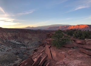
Sunset Point, Capitol Reef NP
2.53 mi / 1047 ft gainSunset Point Trail is an quick and easy 0.4 mile hike near the entrance of the park that provides you with beautiful views of the Capital Reef rim from the opposite side of the park. As the evening descends the setting sun illuminates the red rim rock formations giving them the best photographic ...Read more -
Garfield County, Utah
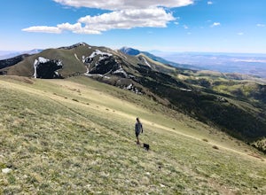
Hike Mount Ellen in Utah's Henry Mountains
4.04 mi / 1091 ft gainMount Ellen is considered an Ultra Prominent Peak. What's that you may ask? Well, Ultra Prominent Peaks are determined by how high the summit rises above its surroundings. Rising 5,812 feet above the desert floor with a summit elevation of 11,527 feet, Mount Ellen is the third most prominent peak...Read more -
Torrey, Utah
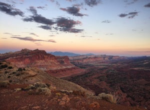
Hike the Chimney Rock Loop, Capitol Reef NP
5.03.46 mi / 909 ft gainFrom the trailhead, the trek starts off pretty step. You will reach a fork near the top of the plateau which starts the official loop. At the junction go left (counterclockwise). The trail offers wonderful views along the way. The loop will bring you on top of "chimney rock" for views over Hwy 24...Read more -
Torrey, Utah
Capitol Reef's Sulphur Creek Route
4.85.87 mi / 1191 ft gainThis is a point-to-point hike that either requires a shuttle or 3 mile walk along highway 24. The starting trailhead is the Chimney Rock Trailhead which has limited parking. The ending trailhead is the Capitol Reef National Park Visitors Center. We only had one car so I dropped everyone off at th...Read more -
Boulder, Utah
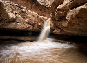
Upper Calf Creek Falls
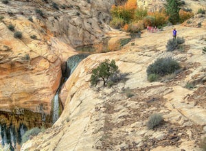
5.01.76 mi / 571 ft gainFinding the trailhead for the Upper Calf Creek Falls can be a little difficult. Head east out of Escalante and follow highway 12 for about 20.6 miles. There will be a dirt turnout on the left hand side that leads to a dirt parking lot and a trail sign with registration for the Upper Calf Creek Fa...Read more -
Boulder, Utah
Backpack Death Hollow in Grand Staircase-Escalante
22 mi / 1600 ft gainThe most popular route into Death Hollow is from the Boulder airstrip near the town of Boulder, Utah. The trailhead for the Boulder Mail Trail begins, or ends here depending on which way you are hiking. Leave a car at the Highway 12 bridge over the Escalante River for the thru hike, or get luck...Read more -
Boulder, Utah
Lower Calf Creek Falls
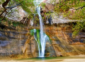
4.65.74 mi / 515 ft gainThe trailhead for lower calf creek falls begins at the Calf Creek Campground. There is a small fee to park in the campground and a larger fee if you plan on camping in the campground. There is potable water and outhouses at the trailhead but parking can be difficult to find during the spring and ...Read more -
Boulder, Utah
Escalante Natural Bridge
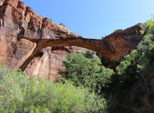
5.03.25 mi / 266 ft gainThis is a 3.2 mile hike in the Escalante River Canyon near Escalante, Utah. This hike features a number of brief river crossings, so be prepared to get wet! The hike traverses a number of small boulder fields and dense riverside vegetation before concluding at the Escalante Natural Bridge. This h...Read more -
Wayne County, Utah
Hike Lower Cathedral Valley Overlook
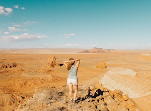
2 mi / 150 ft gainNow most of the pictures you see from Capitol Reef are from cathedral valley. But not many take the time to get above the most photographed area of the park. Off of Hartnet Road, at mile 17.6 you will find a small dirt parking lot for the trailhead (were talking middle of nowhere, so no pit toile...Read more -
Escalante, Utah
Hike to the Cosmic Ashtray
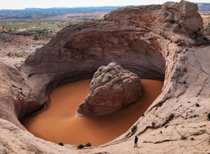
4.08 mi / 800 ft gain...As a frequent traveler, what's always motivated my travels were locations that have either been on my bucket list, or are places that are photogenic and a little off the beaten path. During my recent 3 week road trip through Northern Arizona and Southern Utah, I had the opportunity to visit a ...Read more -
Wayne County, Utah
Explore the Temple of the Sun & Moon and Glass Mountain
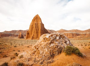
The temple of the sun and moon are accessed from Cathedral Rd. in Capitol Reef National Park, the road is a 4x4 high clearance vehical road. Upon arriving at the Temples which are called “monoliths”, the giant rocks protrude from the earth, and are something like a fine piece of art. This is a po...Read more -
Wayne County, Utah
Drive the Cathedral Valley Loop
60 miThese set of roads are classified as 4x4 high clearance vehical roads. Not to mention this part of the park is remote and only about 10% of visitors access it. To get to Cathedral Valley, we were recommended to drive a “loop” by the park ranger, that entailed about 60 miles of high clearance dirt...Read more -
Escalante, Utah
Backpack the Escalante River
14 mi / 400 ft gainThe Escalante River trail is an easily accessible, moderately strenuous hike within Grand Staircase-Escalante National Monument. The national monument encompasses over 2 million acres of wilderness, choc-full of large canyons, narrow slot canyons, rivers, hoodoos, arches, natural bridges and more...Read more -
Escalante, Utah
Escalante River Trail: Escalante to UT-12
12.97 mi / 3373 ft gainEscalante River Trail: Escalante to UT-12 is a point-to-point trail that takes you by a river located near Eggnog, Utah.Read more -
Garfield County, Utah
Canyoneering in Neon Canyon
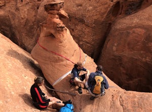
13 mi / 1000 ft gainThis is an 8-12 hour technical adventure that is usually done as an overnight backpack. Consider hiring a local guide service such as Excursions of Escalante or Escalante Outfitters! We did this as a self-guided excursion. A group is recommended because you may experience keeper potholes dependin...Read more -
Garfield County, Utah
Golden Cathedral Trail
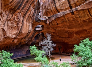
4.59.27 mi / 1398 ft gainFrom highway 12, drive south down the hole in the rock road for about 17 miles to a dirt road on the left that is well marked for Egypt. Follow that dirt road 9.9 miles to the Egypt Trailhead. There is a BLM trail register at the trail head. After that, take one of the numerous ways down to the E...Read more

