Bryce Canyon City, Utah
Looking for the best hiking in Bryce Canyon City? We've got you covered with the top trails, trips, hiking, backpacking, camping and more around Bryce Canyon City. The detailed guides, photos, and reviews are all submitted by the Outbound community.
Top Hiking Spots in and near Bryce Canyon City
-
Escalante, Utah
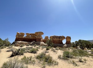
Devils Garden
4.01.01 mi / 131 ft gainDevils Garden is a loop trail that takes you past scenic surroundings located near Escalante, Utah.Read more -
Boulder, Utah
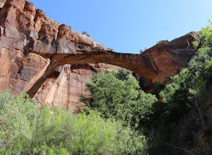
Escalante Natural Bridge
5.03.25 mi / 266 ft gainThis is a 3.2 mile hike in the Escalante River Canyon near Escalante, Utah. This hike features a number of brief river crossings, so be prepared to get wet! The hike traverses a number of small boulder fields and dense riverside vegetation before concluding at the Escalante Natural Bridge. This h...Read more -
Boulder, Utah
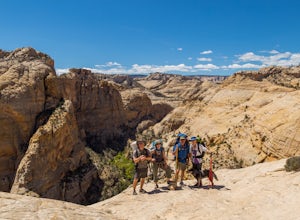
Backpack Death Hollow in Grand Staircase-Escalante
22 mi / 1600 ft gainThe most popular route into Death Hollow is from the Boulder airstrip near the town of Boulder, Utah. The trailhead for the Boulder Mail Trail begins, or ends here depending on which way you are hiking. Leave a car at the Highway 12 bridge over the Escalante River for the thru hike, or get luck...Read more -
Boulder, Utah
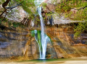
Lower Calf Creek Falls
4.65.74 mi / 515 ft gainThe trailhead for lower calf creek falls begins at the Calf Creek Campground. There is a small fee to park in the campground and a larger fee if you plan on camping in the campground. There is potable water and outhouses at the trailhead but parking can be difficult to find during the spring and ...Read more -
Kanab, Utah
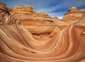
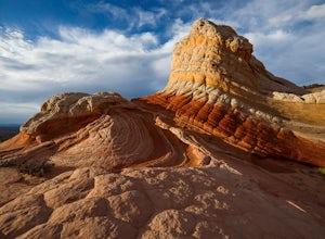
The Wave via Coyote Buttes North
5.05.41 mi / 755 ft gainThe hike to the Wave is 2.5 miles (one-way). When you arrive, take in the sandstone showing incredible striations of red, orange, pink, yellow, and beige. Please note that this adventure is only accessible by obtaining a permit. Only 20 visitors are allowed access per day with 10 permits given on...Read more -
Kanab, Utah
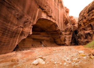
Wire Pass Slot Canyon
4.63.75 mi / 325 ft gainWire Pass is a hike through a scenic slot canyon that is often overlooked due to its close proximity to the very famous Wave. Unlike the "Wave" a permit is not required to make the hike, only a day use fee at the trailhead. Be sure to check local weather for rainfall and please do not go on this ...Read more -
Kanab, Utah
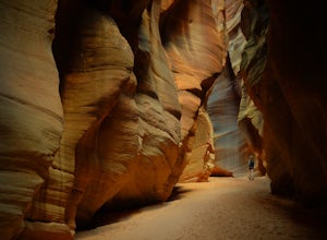
Hike Buckskin Gulch, Vermillion Cliffs Wilderness
4.615 miBuckskin Gulch is a natural wonder. At 15 miles long it is the longest slot canyon in the world. It sometimes is as narrow as 2ft. Because of the nature of this canyon and Utah topography this canyon is subject to deadly flash flood if it rains anywhere along the headwaters. Be sure to check in w...Read more -
Boulder, Utah
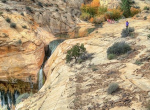
Upper Calf Creek Falls
5.01.76 mi / 571 ft gainFinding the trailhead for the Upper Calf Creek Falls can be a little difficult. Head east out of Escalante and follow highway 12 for about 20.6 miles. There will be a dirt turnout on the left hand side that leads to a dirt parking lot and a trail sign with registration for the Upper Calf Creek Fa...Read more -
Marble Canyon, Utah
Hike the Buckskin Mountain Passage from Stateline Campground on the Arizona Trail
8 mi / 1400 ft gainDepending how you approach this 800 mile trail, I did the first 4 miles or last 4 miles as an out and back from Stateline Campground on the Utah/Arizona state line and the border of Vermilion Cliffs National Monument. This section of the trail does not pass through Vermilion Cliffs N.M. b...Read more -
Mount Carmel, Utah
Canyoneering Birch Hollow
4.3Birch Hollow is near Zion National Park, and accessible from North Fork Road (East Zion) past the Ponderosa Resort. If you do not hike out through Orderville into Zion National Park (ZNP) and the Narrows, then a ZNP Permit is not required (turning around and hiking back to your vehicle).The time ...Read more -
Boulder, Utah
Drive the Burr Trail Scenic Backway
5.066.2 mi / 4124 ft gainThe Burr Trail is a 66 miles mostly-paved road connecting Boulder, Utah / Highway 12 with the Notom-Bullfrog road that passes through some of the most scenic (and largely untouched) painted-rock backcountry in three of our national parks/monuments including Grand Staircase-Escalante, Capitol Reef...Read more -
Escalante, Utah
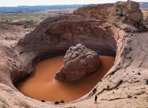
Hike to the Cosmic Ashtray
4.08 mi / 800 ft gain...As a frequent traveler, what's always motivated my travels were locations that have either been on my bucket list, or are places that are photogenic and a little off the beaten path. During my recent 3 week road trip through Northern Arizona and Southern Utah, I had the opportunity to visit a ...Read more -
Boulder, Utah
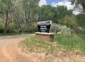
Camp at Deer Creek Campground
5.0Deer Creek campground is off of the Burr Scenic drive and right outside of the lower part of Capitol Reef National Park. This campground is perfect if you are driving from Bryce Canyon to Capitol Reef. There are a total of 7 tent sites in the campground. There are no spots for RVs and no turn aro...Read more -
Orderville, Utah
East Rim Trail, Zion NP
5.010.19 mi / 3000 ft gainThe East Rim Trail is approximately 10-miles (one-way) and can either be started from the Eastern Entrance of Zion National Park, or more commonly from the Hidden Canyon or Observation Point Trailheads. Many people start from within Zion Canyon and do the arduous Observation Point Trail, forgoing...Read more -
Marble Canyon, Arizona
Hike to the White Pocket
5.04 miWhite Pocket is extremely difficult to access due to the road leading to it. There are sections with very deep, soft sand going uphill! You must have a high clearance 4WD vehicle and air down your tires to have any hope of making it here. Do not take this lightly, a tow bill will cost you a minim...Read more -
Springdale, Utah
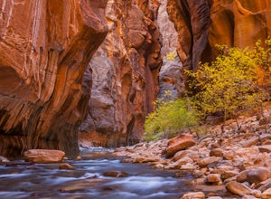
The Narrows, Zion NP
4.99.73 miHiking the narrows in Zion National Park is one of my favorite hikes and something I return for almost every year, I can still remember my first visit as a kid. There's no other place like it in the National Park system and the stunning beauty of its towering walls and vibrant river make it a top...Read more

