Brian Head, Utah
Top Spots in and near Brian Head
-
Springdale, Utah
Hike Observation Point
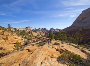
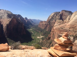
5.06.8 mi / 2100 ft gainThis is the best trail in Zion Canyon to beat the crowds while experiencing the awe and wonder it has to offer. We take this trail every time we visit Zion and never tire of it. It is an 8 mile out and back hike that takes you up, up, up then down, down, down. Be prepared to get your heart going!...Read more -
Springdale, Utah
Hidden Canyon Trail
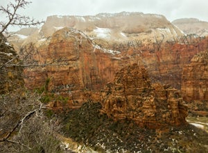
4.63.22 mi / 2185 ft gainNOTE: This trail is currently closed due to a large rockfall. Please visit the NPS.Gov website for updates. This trail starts at Weeping Rock Trailhead, it's the same trailhead for Observation Point and the East Rim Trail. You will start this hike up a paved section with several switchbacks up ...Read more -
Springdale, Utah
Canyoneering Echo Canyon, Zion
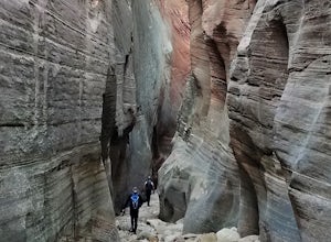
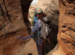
3 mi / 1100 ft gainDisclaimer: Canyoneering is a dangerous and technical activity. Don’t enter any canyon without the skills to match it, or the knowledge to navigate it. Echo Canyon requires a canyoneering permit that can be reserved online and picked up at the Zion Visitor Center. Be sure to reserve your permit 3...Read more -
Hurricane, Utah
Aid Climbing Moonlight Buttress
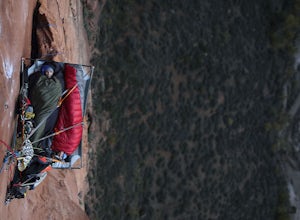
Moonlight Buttress follows an amazing system of cracks up some really solid sandstone. The route is 5.8 C1 and is very straightforward. Hauling on the first few pitches is an absolute nightmare, but spending the night on the wall is spectacular. To get more info on the route check out the followi...Read more -
Virgin, Utah
Rock Climb in Lambs Knoll
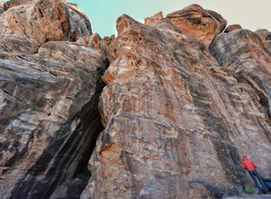
5.0If you're a rock climber, then chances are you've got Zion National Park on your list of to do's, or must go back. The beautiful sandstone just keeps calling you back and asking you to climb more. Although not technically in the park, Lambs Knoll is right across the street in the north western pa...Read more -
Virgin, Utah
Canyoneering Lambs Knoll
5.01 mi / 200 ft gainLocated just outside of Zion National Park's boundaries, Lamb's Knoll is a popular destination among adventure seekers. This area is unique as it offers routes for both climbing and canyoneering. Perfect for beginners, the canyoneering routes at Lamb's Knoll are half day routes that takes you thr...Read more -
Springdale, Utah
Angels Landing
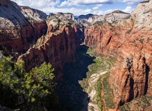
4.74.24 mi / 1488 ft gainAngels Landing has long been one of my favorite Zion National Park hikes. The hike is thrilling, extremely photogenic, and appeals to those who enjoy exchanging leg power for views. The hike to the top isn't long, 2+ miles, but you'll definitely feel the 1500 feet of gain! The trail features a mo...Read more -
Springdale, Utah
Angels Landing, West Rim, Telephone Loop
15.34 mi / 4304 ft gainThe Angels Landing, West Rim, Telephone Loop Trail is a 14+ mile heavily-trafficked loop trail located in Zion National Park near Springdale, Utah. This iconic trail offers incredible views of Zion Canyon and is rated as difficult, with steep drop-offs on both sides of the narrow ridgeline sect...Read more -
Hurricane, Utah
Upper Emerald Pool
4.32.92 mi / 600 ft gainStart this trail walking across the bridge over the Virgin River into the start of the trails that lead to the pools. The path takes you through the bottoms of the water falls and you see them falling over the rocks above you. Though this sight may be totally awesome, be careful as you walk alo...Read more -
Hurricane, Utah
Lower Emerald Pool Trail
5.01.42 mi / 476 ft gainLower Emerald Pool Trail is an out-and-back trail that takes you by a waterfall located near Springdale, Utah.Read more -
Virgin, Utah
The Subway - Bottom Up
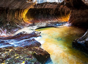
4.96.82 miStart your day early at the Left Fork Trailhead on Kolob Terrace Road from the town of Virgin outside Zion National Park. This 6.5 mile out and back hike will take you to one of the most beautiful features in Zion National Park: The Subway. You'll start with a steep descent into the canyon. This ...Read more -
Hatch, Utah
Bike Thunder Mountain Trail
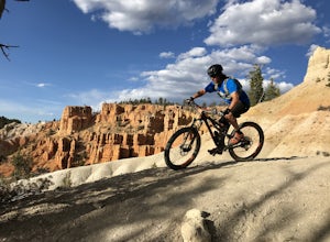
4.08 mi / 1123 ft gainThunder Mountain Trail is one that should be on every mountain bikers bucket list. It's located just outside of Bryce Canyon National Park and passes through hoodoos, classic Bryce Canyon topography and epic views to the west. For the first 2.5 miles, the trail meanders back and forth with littl...Read more -
Orderville, Utah
Hike Red Hollow Slot Canyon
5.03.2 mi / 200 ft gainThe trailhead is about 18 miles from the eastern entrance of Zion National Park, located in the small town of Orderville. In Orderville, the streets aren't marked too well, so follow the road that goes past the cemetery and the school, 100 East. When the road Ts, turn left. The road ends in a san...Read more -
Orderville, Utah
East Rim Trail, Zion NP
5.010.19 mi / 3000 ft gainThe East Rim Trail is approximately 10-miles (one-way) and can either be started from the Eastern Entrance of Zion National Park, or more commonly from the Hidden Canyon or Observation Point Trailheads. Many people start from within Zion Canyon and do the arduous Observation Point Trail, forgoing...Read more -
Springdale, Utah
Court of the Patriarchs Viewpoint Trail
5.00.12 mi / 26 ft gainCourt of the Patriarchs Viewpoint Trail is an out-and-back trail where you may see beautiful wildflowers located near Springdale, Utah.Read more -
Hurricane, Utah
Hike the Sand Bench Trail
3.62 mi / 500 ft gainThe Sand Bench Trail is a loop trail and starts at the Court of the Patriarchs shuttle stop. The trail makes a loop which is approximately 3.6 miles long. The trail can be accessed across the road from the shuttle stop. Look for a water tank and bridge crossing the Virgin River. Although often o...Read more

