Brian Head, Utah
Looking for the best hiking in Brian Head? We've got you covered with the top trails, trips, hiking, backpacking, camping and more around Brian Head. The detailed guides, photos, and reviews are all submitted by the Outbound community.
Top Hiking Spots in and near Brian Head
-
Brian Head, Utah
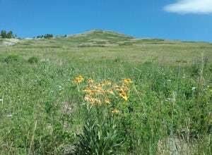
Hike the Brian Head Loop Trail
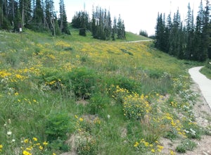
0.2 miDrive to the peak on county road 47 to the parking area. Hike around the peak and admire the beautiful views of the mountains and the resort below. Be sure to take pictures of the abundant wildflowers around the peak. The drive to the peak is very scenic.Read more -
Brian Head, Utah
Alpine Pond North Loop
1.22 mi / 79 ft gainAlpine Pond North Loop is a loop trail that takes you by a lake located near Cedar City, Utah.Read more -
Brian Head, Utah
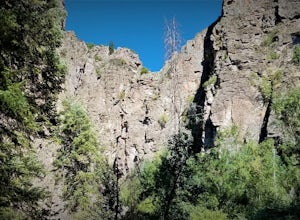
Canyoneering Benson Creek
2 mi / 200 ft gainDisclaimer: Canyoneering is a dangerous and technical activity. Don’t enter any canyon without the skills to match it, or the knowledge to navigate it. Benson Creek is a pleasant little spot for families to hike a waterfall (Hidden Haven Falls), or a fantastic spot for canyoneers to rappel some w...Read more -
Brian Head, Utah
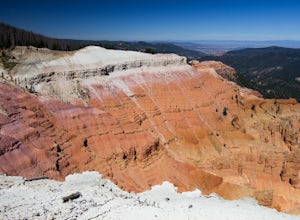
Hike Ramparts Trail via Spectra Point
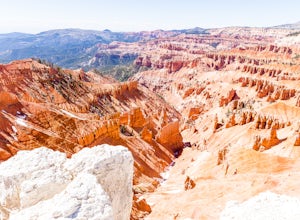
5.04 miTo call this place "breathtaking" would not do it justice. The rusty red, orange, purple colors of million-year-old rock erosion are otherworldly, something you'd imagine on Mars. The Indians named Cedar Breaks the "Circle of Painted Cliffs," and when you see this brilliantly colored coliseum you...Read more -
Brian Head, Utah
Hike the Sunset Trail, Cedar Breaks National Monument
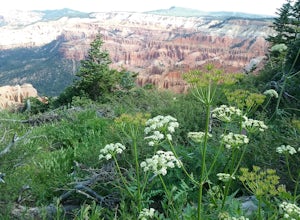
2 mi / 100 ft gainStarted the hike at the visitor center. The walk is fairly level and there is not much altitude gain. There are very good views of the park and in the summer there is a profusion of wildflowers. At the beginning of the trail the different wildflowers are labeled.Read more -
Brian Head, Utah
Hike the Spectra Point and Rampart Overlook Trails
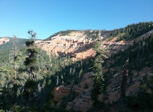
3.7 mi / 836 ft gainPark at the visitor center parking lot and start hiking the trail. You'll admire the great views of the breaks and canyons below. If you hike in the summer, be sure to take the time to photograph the many beautiful wildflowers, old cedars, and marmots.Read more -
Brian Head, Utah
Hike the Sunset Trail
4.01 mi / 200 ft gainCedar Breaks National Monument is a gorgeous multi-colored limestone amphitheater that many consider to be more beautiful than Bryce Canyon National Park given its greater depth over a shorter distance and higher elevation. It is far less traveled than its neighbors of Zion and Bryce. The Sunset ...Read more -
Cedar City, Utah
Hike the Hoodoo Loop Trail in Dixie National Forest
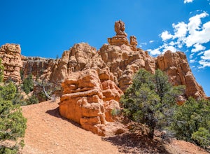
5.00.3 miHoodoo's are unique rock formations formed over many years by erosion. In this region, the hoodoos are formed through a process called frost wedging. This is the process of repeated freeze thaw cycles. As snow melts the water seeps between the cracks in the rocks then freezes at night when the...Read more -
Duck Creek Village, Utah
Hike the Cascades Trail in Dixie National Forest
1.2 mi / 137 ft gainHiked the cascades trail from the parking lot through a forest of spruce trees and many interesting wildflowers. The trail has good views of the National Forest and Zion National Park in the distance. The trail has some elevation gain but not too bad. The waterfall is rather small but a refreshi...Read more -
Duck Creek Village, Utah
Explore the Mammoth Cave Lava Tubes
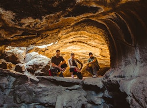
3.00.4 mi / 100 ft gainFrom the USFS website: "Mammoth Cave, at 8050 feet in elevation opens to one of the largest lava tubes in Utah with over 2200 feet of passages. Formed by cooling lava and flowing water, Mammoth Cave is part of the Markagunt Plateau. Geologists believe that some of this lava is only several thous...Read more -
Kanarraville, Utah
Kanarra Falls via Kanarraville Slot Canyon
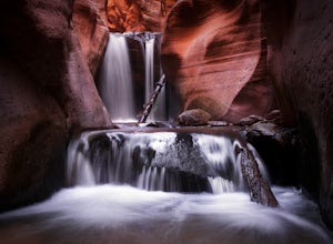
4.73.6 mi / 732 ft gainKanarra Falls is a gem of a hike that takes you into the Kanarraville slot canyons in southern Utah and the infamous Kanarra Falls. After hiking half a mile or so from the parking lot on a fairly open trail the canyon slots up. This is where the fun begins. Here you will have to walk through the ...Read more -
Duck Creek Village, Utah
Hike The Narrows: Top Down
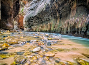
5.015.38 miTHE NARROWS This by far one of the most scenic and awesome hikes available in any National Park. There is no place in Zion National Park more sublime in its beauty and awe inspiring in its creation as you hike through the crystal clear Virgin River and marvel at the myriad of red, orange, yellow...Read more -
Hurricane, Utah
West Rim Trail, Zion NP
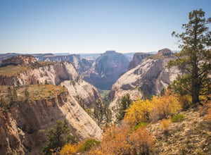
5.014.41 mi / 3000 ft gainThis 14.5 mile (one-way) trek is a multi-functional trail. The trail can serve as standalone trail allowing hikers to get in either a solid in-and-out day hike or as a leg to a much bigger and epic Trans-Zion Trek. For those interested in the later, the West Rim Trail is the leg of the journey th...Read more -
Hurricane, Utah
Canyoneering Boundary Canyon, Zion
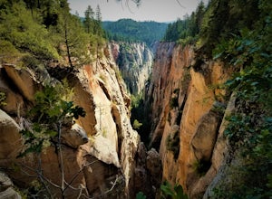
8 mi / 2000 ft gainDisclaimer: Canyoneering is a dangerous and technical activity. Don’t enter any canyon without the skills to match it, or the knowledge to navigate it. Your Boundary Canyon adventure starts at the West Rim Trailhead with a pleasant stroll down an old logging road. Dodge fallen trees and enjoy a l...Read more -
New Harmony, Utah
Middle Fork Taylor Creek in Kolob Canyon
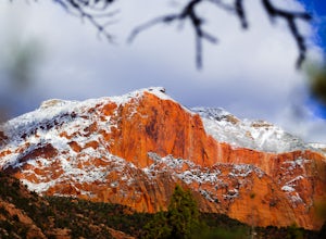
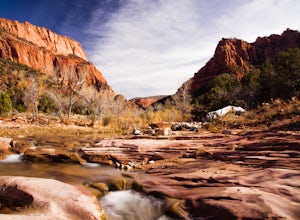
4.04.86 mi / 889 ft gainThe Taylor Creek trailhead sits in the little-explored part of Zion National Park known as Kolob Canyon just south of Cedar City. The trail starts at around 6,000 feet and then drops a little lower in to the canyon and runs along Taylor Creek. With 450 feet of elevation change along the five-mile...Read more -
New Harmony, Utah
Kolob Arch
4.713.86 miIn the lesser traveled area of Zion National Park sits Kolob Arch, a sandstone arch high up on a cliff tucked back in the canyon. To get to Kolob Arch take exit 40 on I-15 in Utah. You'll see a Zion National Park Visitor's Center. Here you can fill up on water, use the bathroom, and get a map to...Read more

