Brian Head, Utah
Looking for the best hiking in Brian Head? We've got you covered with the top trails, trips, hiking, backpacking, camping and more around Brian Head. The detailed guides, photos, and reviews are all submitted by the Outbound community.
Top Hiking Spots in and near Brian Head
-
Bryce, Utah
Bryce Canyon Scenic Drive
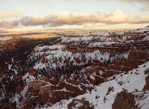
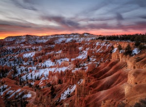
4.520.8 mi / 2516 ft gainInspiration Point: All who look out from this point are bound to be inspired. The intricacies of the hoodoos and their formation through the erosion of the Claron Formation is simply beautiful. You get the most spectacular perspective of the main amphitheater in Bryce Canyon here. Swamp Canyon: ...Read more -
Bryce, Utah
Hiking Bryce Canyon's Rim Trail
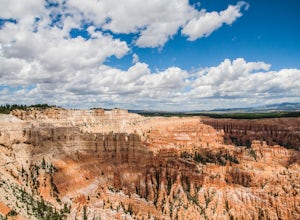
4.411.01 mi / 1342 ft gainThis popular hike in Bryce Canyon National Park offers up breathtaking views from just about every step. While it can be as long as 11 miles out and back from Fairyland Point to Bryce Point, multiple pull outs allow driving between the different points providing as long or short as a hike as you ...Read more -
Tropic, Utah
Under the Rim Trail to Swamp Canyon Camp
5.023.79 mi / 5794 ft gainThis trail is just about the only way I would see Bryce Canyon. When we initially drove in it was like we were at Disneyland, with crowds of people everywhere. We soon discovered, however, that very few people enter Bryce Canyon's backcountry. We chose to visit Bryce in July due to it's higher el...Read more -
Bryce, Utah
Hat Shop via Under the Rim Trail
5.03.99 mi / 1093 ft gainHat Shop via Under the Rim Trail is an out-and-back trail where you may see local wildlife located near Bryce, Utah.Read more -
Bryce, Utah
Hike the Fairyland Loop Trail at Bryce Canyon NP
4.77.8 mi / 1545 ft gainLet's face it: Bryce Canyon National Park is stunning. Its remarkable and unique hoodoos bring people from all over the world, and lots of them. If you're looking to enjoy this incredible park with a little more solitude than the main lookouts or the more popular Under the Rim trail, make sure to...Read more -
Rockville, Utah
Camp off the Smithsonian Butte Backcountry Byway
5.09.5 mi / 800 ft gainSmithsonian Butte Backcountry Byway is gorgeous 9.5 mile road that runs between Rockville near the entrance to Zion National Park and Apple Valley UT, and affords excellent places to camp & boondock *as long* as it is 0.5 miles from the road itself (and there are numerous turn offs). To get ...Read more -
Pine Valley, Utah
Whipple Trail
11.56 mi / 3133 ft gainWhipple Trail is an 11.6-mile out-and-back hike. You'll hike switchbacks and climb elevation to a valley in the Pine Valley Mountains. With the distance and elevation gain, this can be a challenging hike. For the first 2 miles, you climb close to 900 ft in elevation, but it’s absolutely stunnin...Read more -
Orderville, Utah
Kanab's Peek-a-Boo Canyon
4.87.71 mi / 587 ft gainThe trailhead is Red Canyon (aka Peek-a-boo) trailhead located just off of Highway 89 between Kanab and Mt. Carmel Junction. The GPX track shows the entirety of the trail, but if you have 4WD and a high-clearance vehicle, you're able to reach the closer parking area for a less than 1-mile roundtr...Read more -
Tropic, Utah
Mossy Cave Turret Arch and Little Windows Trail
5.01.06 mi / 341 ft gainMossy Cave Turret Arch and Little Windows Trail is an out-and-back trail that takes you by a waterfall located near Tropic, Utah.Read more -
Tropic, Utah
Hike Mossy Cave in Bryce Canyon
3.31 miThis short hike cannot be reached from the main area of Bryce Canyon, but with a 15 minute drive from the main entrance you can access this less crowded portion of the park. Check out a park map for the directions. This is very family-friendly, and is actually more of a "walk" than a "hike."It is...Read more -
Tropic, Utah
Hike the Tropic Ditch Trail
5.02 miFrom the Mossy Cave trailhead, follow the wide easy trail along the Tropic Ditch stream for .35 miles. At that point, the trail splits. To the left is Mossy Cave and to the right is Water Canyon Falls. The trail is lined with beautiful colored cliffs and hoodoos that Bryce Canyon is famous for. T...Read more -
Hurricane, Utah
Running Windmill Trail
8 miWindmill trail and trailhead sits just down the road from Gooseberry Mesa Trailhead in Apple Valley, Utah. Head out on this figure-8 loop for as long as you want. If you're smart, you'll bring your MTB, and you can ride the singletrack once you're done getting your run in.This is also a great spo...Read more -
Hurricane, Utah
Hike Arch Trail to Babylon Arch
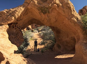
5.01.5 miArch Trail to Babylon Arch is a short family friendly hike to the Virgin River and back. The trail is very sandy, which makes climbing hills difficult. The arch is really neat and totally worth the visit.To get to the trailhead will require 4 wheel drive and if its recently rained I would not rec...Read more -
Kanab, Utah
Sand Caves of Kanab
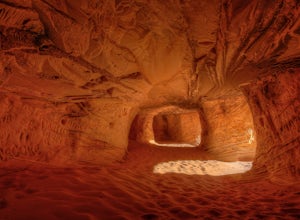
4.51.17 mi / 69 ft gainTo get to this cave, drive north of Kanab on Highway 89. Just after you pass Best Friends Animal Sanctuary, you will see these caves on the right. To hike to the caves, try accessing the trail from as far to the left as possible. The hike isn't strenuous or tricky in that case. The other thing t...Read more -
Kanab, Utah
Bull Valley Gorge Trail
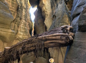
0.89 mi / 49 ft gainBull Valley Gorge Trail is an out-and-back trail that takes you by a river located near Cannonville, Utah.Read more -
Hurricane, Utah
Hike the Historic Babylon - Little Purgatory Loop
6 mi / 1000 ft gainThe trailhead has space for about three or four cars. Watch for an obvious gap in the cliffs very close to the trailhead, this is where you should park. Just before exiting the gap, look to the left for some interesting petroglyphs. The trail follows a dry wash through some heavy vegetation for a...Read more

