Bountiful, Utah
Looking for the best photography in Bountiful? We've got you covered with the top trails, trips, hiking, backpacking, camping and more around Bountiful. The detailed guides, photos, and reviews are all submitted by the Outbound community.
Top Photography Spots in and near Bountiful
-
Centerville, Utah
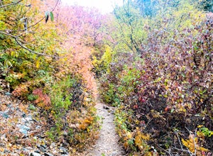
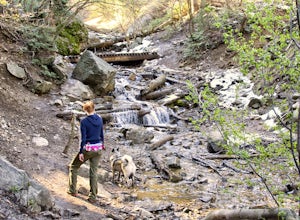
Hike to the Rope Swing on Deuel Creek Trail
5.02.6 mi / 646 ft gainNot only is this hike absolutely gorgeous, but it also has an epic rope swing at the end! To get to the trailhead you'll need a vehicle that can handle rough roads—you have to drive up a bit on the side of the mountain to get to the trailhead. The beginning of the hike is marked with a little bul...Read more -
Centerville, Utah
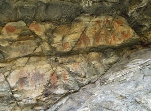
Hike to the Parrish Creek Pictographs
4.71 mi / 200 ft gainThe petroglyphs are pretty easy to find and it is such a short hike you can do it in about 45 minutes. To get to the trailhead, drive to Centerville, Utah and take 400 N all the way towards the mountain. The road with curve to the right with a small dirt road heading to the left. Take the dirt ro...Read more -
Salt Lake City, Utah
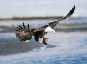
Birding at Farmington Bay
5.0Every winter as the ice thaws, eagles gather at Farmington Bay to feed on huge populations of carp. This can produce a pretty amazing set of circumstances where it's not uncommon to see birds feeding just 50 yards from shore.The prime viewing opportunity happens around "Bald Eagle Day," an event ...Read more -
Salt Lake City, Utah
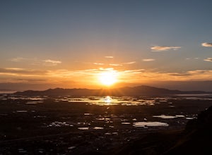
Ensign Peak
4.20.97 mi / 354 ft gainThis hike is a piece of cake with a sizable reward. It starts just up the hill behind the Capitol Building and ascends 350 feet over about 0.5 miles to the top on a very well marked trail. It's great for a family with young ones or maybe a quick post-dinner evening date. Parking is all along a re...Read more -
Salt Lake City, Utah
Hike or Trail Run Mount Van Cott
4.03 mi / 1400 ft gainThere are many different trailheads that will take you to the top of Mount Van Cott, but the main trailhead is up Red Butte Canyon. Drive up the canyon until you reach the parking lot where the canyon gate is blocking the road. After parking your car here, head up the dirt road on foot until you ...Read more -
Salt Lake City, Utah
Hike or Run Mount Wire
3.74.5 mi / 2082 ft gainThis 4.5 out-and-back trail starts just south of the Natural History Museum at the University of Utah. Park in the museum parking lot and walk up the stairs to the Bonneville Shoreline Trail. Then head south along the BST for a few minutes until you reach a big yellow sign with 174 on it. Turn le...Read more -
Salt Lake City, Utah
Hike the Living Room
4.42.5 mi / 1000 ft gainBecause if its proximity to downtown Salt Lake, this is a great quick hike to do after work. Although it's short, it is fairly steep, climbing nearly 1000 feet in 1.25 miles. However, most people can do it without too much difficulty. This is a good family hike and allows dogs on leashes. Due to ...Read more -
Salt Lake City, Utah
Hike Jacks Mountain
4.02.4 mi / 1300 ft gainNamed for a toddler who died of Lukemia in 1995, Jacks Mountain is a beautiful place to sit above the valley and contemplate mortality. On the peak, you’ll find a couple mailboxes containing heartfelt notes from hundreds of hikers throughout the years. It’s the kind of place that restores your fa...Read more -
Layton, Utah
Adams Canyon
4.83.55 mi / 1434 ft gainThe trailhead is at a dirt parking lot with a lot of parking, but on Saturday mornings it can get full and people are forced to park on the street. As you start off, there are a few steep and sandy switchbacks. They don't last too long but on a hot day it can seem like forever. After that, the t...Read more -
Salt Lake City, Utah
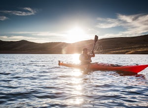
Kayak at Little Dell Reservoir
3.8Located just 20 minutes from the heart of Salt Lake City, Little Dell Reservoir is the perfect quick getaway for a recreational paddler or angler.The reservoir is surrounded by mountains in Parleys Canyon, just off of Interstate 80 and along Utah State Route 65. The parking and ranger station are...Read more -
Salt Lake City, Utah
Grandeur Peak West Face
2.23 mi / 3307 ft gainAre you planning a big adventure and need a boost getting ready for it? You came to the right place. This is my go-to when I’m preparing to climb a big mountain. It’s hard to find a steeper trail in the area (that’s not a game trail), and the West Face is usually free of snow early in the season....Read more -
Layton, Utah
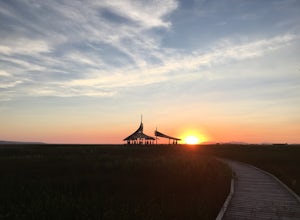
Stroll through the Great Salt Lake Shorelands Preserve
5.01 miThe wetlands of The Nature Conservancy's Great Salt Lake Shorelands Preserve are a unique system of salt and fresh water marshes, ponds, pools, sloughs and mudflats. It is a rich feeding ground for tens of thousands of migrating birds, making this destination a birder's paradise.Great for all ski...Read more -
Salt Lake City, Utah
Hike Mt. Aire
4.54 mi / 2000 ft gainMount Aire, standing around 8600 ft, certainly isn't the most inspiring peak in or around Salt Lake City, but to me it serves as a quick summit to catch the sunset when I'm short on time.Getting There:Start by heading up Mill Creek Canyon Rd. After passing the ranger booth, drive about 5.5 miles ...Read more -
Salt Lake City, Utah
Grandeur Peak East Trail
4.45.97 mi / 2513 ft gainThis is the peak that can be seen from the valley located between Millcreek Canyon and Parleys Canyon. There are 2 trails that head up to this peak, but the one up Millcreek Canyon at the top of Church Fork is by far the more popular/enjoyable one (and the one described here). The other one heads...Read more -
Salt Lake City, Utah
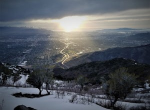
Salt Lake Overlook via Desolation Trail
4.14.76 mi / 1729 ft gainThis popular trail follows a portion of the Desolation Trail leaving from Mill Creek Canyon. The trail to the overlook is 4.75 miles round trip with a 1700 ft elevation gain. You begin at the Desolation Trailhead and then turn around once you have a view of the Salt Lake Valley. It is a perfect h...Read more -
Salt Lake County, Utah
Hike Thayne Canyon
6 mi / 2800 ft gainIf you want to avoid the crowds heading to the Salt Lake Overlook and are looking for a bigger challenge with better views, Thayne Canyon is the ticket. The trail is 6 miles roundtrip with 2,800 feet of elevation gain. It’s a great evening hike and the peak is a nice place to watch the sunset. Th...Read more

