Arches National Park, Utah
Looking for the best photography in Arches National Park? We've got you covered with the top trails, trips, hiking, backpacking, camping and more around Arches National Park. The detailed guides, photos, and reviews are all submitted by the Outbound community.
Top Photography Spots in and near Arches National Park
-
Moab, Utah
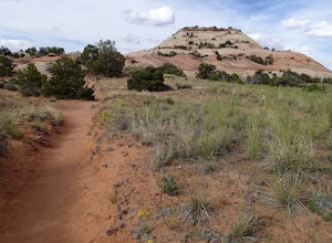
Hike the Aztec Butte Trail
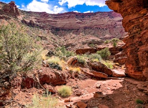
4.52 mi / 500 ft gainThe Aztec Butte Trail is a two pronged out and back trail for a total of two miles. The trail is single track and easy to follow. After a third of a mile the trail splits. To the left, a trail takes you to the top of a small mesa. There is an informative sign marking the way. On the other side of...Read more -
Moab, Utah
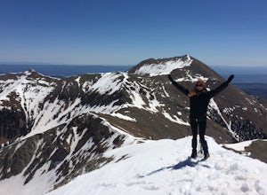
Climb Mount Tukuhnikivatz
6 mi / 2200 ft gainFrom the parking area at La Sal Pass, follow a well defined but unmapped trail though meadow, brief forest, and then switchbacks up the prominent ridge just east of the summit ridge of Mt Tuk. Once on the ridge bear west (climbers left) along the ridge as it narrows. Depending on conditions the r...Read more -
Moab, Utah
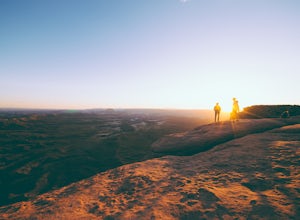
Catch a Sunset at Green River Overlook
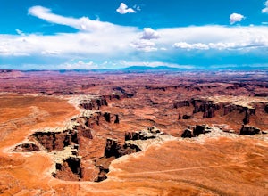
4.5Turn right on Highway 313 after Mesa Arch Trailhead and follow the road past Willow Flat Campground to Green River Overlook. Park at the parking lot. Climb over the railing onto the rock edge. Sit and breathe in that desert wind and distant sun. Simple as that.I recommend camping at Willow Flat t...Read more -
Moab, Utah
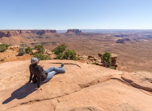
Hike to Murphy Point
4.33.4 mi / 320 ft gainMurphy Point, found in the Island In The Sky district of Canyonlands NP, takes hikers on a mesa that ends at an overlook with sweeping vistas over Murphy Basin, the White Rim, and Green River. If you're looking to get away from the tourists, then head to this quiet and often overlooked trail.The ...Read more -
Moab, Utah
Hike the Gooseberry Trail in Canyonlands
4.04.2 mi / 1548 ft gainThis hike will take your breath away—literally. You will experience stunning views of Canyonlands National Park while literally stepping down the side of a cliff. Once you get to the valley floor, continue on to the smaller cliffs of the White Rim. To get there, follow Grand View Point Road down ...Read more -
Moab, Utah
Hike the White Rim Overlook
3.01.8 mi / 160 ft gainIf you're entering Canyonlands from the north (Island in the Sky side), don't miss this quick hike! This hike is fairly level the entire way and not too long—perfect for kids. Follow Grand View Point Road down towards the middle of the park, then turn left at the sign for the White Rim Overlook. ...Read more -
Green River, Utah
Explore a Manmade Geyser in Utah
3.0Four and a half miles from the town of Green River, Utah, Crystal Geyser is one of the few manmade geysers as a result of the area's historical mining industry. This cold-water geyser usually erupts every eight to 20 hours. Getting There Getting to the geyser is easy and the site can be accessed ...Read more -
Monticello, Utah
Explore Needles Overlook
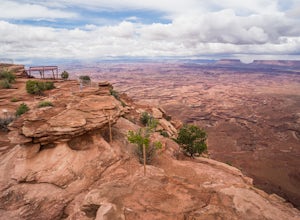
About 1.5 hours from Moab on BLM land, Needles Overlook sits on a peninsula of rock 1600 ft. above southern Canyonlands NP. The views from here are just as commanding as Island in the Sky in Canyonlands, but with a lot fewer people due to its isolated location; there's a good chance you'll have ...Read more -
Monticello, Utah
Explore Looking Glass Arch
4.0Getting there:From Moab, follow Highway 191 south for about 23 miles until you get to Looking Glass Road/Co. Rd. 131. Take a right and follow the road for about 2 miles and then turn left into the parking lot.It is only about 0.10 miles from the parking lot to the arch itself, but there is a ~150...Read more -
Moab, Utah
Climb Wilson Arch
Wilson Arch is a common stop for people visiting the local national parks and Moab, but with some general climbing knowledge and gear you can make this into a longer outing. If coming from Moab, the arch is obvious on your left about 25 miles south. There is ample parking on both sides of the r...Read more -
Moab, Utah
Hiking to Wilson Arch
4.3To get to Wilson Arch, drive south of Moab on US-191 S for about 25 miles. The arch is right off US-191S and there is parking on either side of the highway. Keep an eye out after you pass the LaSal Junction - the arch is visible from the road.From the parking lot there is a a very short (~0.5 mil...Read more -
Wayne County, Utah
Canyoneering High Spur Canyon
5 miFrom Moab, the drive to the canyon is approximately 4 hours long and much of it is on sandy or rocky dirt roads so it’s best to drive a 4x4 vehicle with good clearance. Drive past Hans Flat Ranger Station on the west side of Canyonlands National Park and make your way to the trailhead on Deadman’...Read more -
Moab, Utah
Camp at Hamburger Rock
Hamburger Rock is a small BLM campground with 10 sites based around an interesting rock outcropping. Each site can accommodate around 6 campers, 2 tents, and 2 cars. The bathrooms here are very basic, open-top pits, and no other services are offered. Camping fees are only $6/night.Read more -
Monticello, Utah
Explore Big Spring Creek Overlook
This overlook is at the end of the scenic drive in the Needles District of Canyonlands National Park. Once you step away from your vehicle the world sort of drops out below you into Big Spring Canyon. Just a short walk from the car takes you to some fantastic formations. Visitors can begin the hi...Read more -
Monticello, Utah
Camp at Squaw Flat Campground
3.0Squaw Flat campground is an easily-accessed area full of picturesque campsites in Canyonlands National Park, Utah. It is located in the Needles District, which is well known for its colorful spires of Cedar Mesa Sandstone that cover the region. Campsite reservations must be made in advance at rec...Read more -
Mack, Colorado
Mountain Bike in the Rabbit Valley Area
13 mi / 1200 ft gainThis area is one of my favorites. Rabbit Valley is a great place with all kinds of activities available. Mainly we mountain bike here, but we have hiked and explored the canyons as well. There are traces of Native Americans that lived in the area hundreds of years ago, even a small arch too.From ...Read more

