Bandera, Texas
Looking for the best photography in Bandera? We've got you covered with the top trails, trips, hiking, backpacking, camping and more around Bandera. The detailed guides, photos, and reviews are all submitted by the Outbound community.
Top Photography Spots in and near Bandera
-
San Antonio, Texas
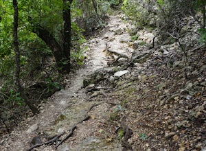
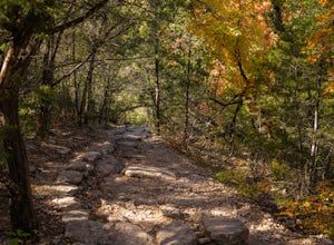
Hike the Vista Loop at Friedrich Wilderness Park
3.73 mi / 85 ft gainJust north of 1604, off I10 is Friedrich Wilderness Park. This park, within the city limits of San Antonio, has about 10 miles of hiking trails varying from paved and appropriate for all ages and abilities, to challenging uphills and quick drop offs.This is just for pedestrian, so if you have a b...Read more -
Ingram, Texas
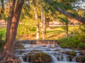
Swim at Schumacher Crossing
Schumacher Crossing is located just west of Ingram, Texas, and about 77 miles west of San Antonio. It's an extremely popular swimming hole on the Guadalupe River during the summer season. It has several small waterfalls that flow into a large pond. Parking is easily accessible, however there are ...Read more -
Vanderpool, Texas
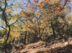
Hike Lost Maples East And West Canyon
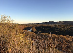
5.011.3 mi / 1 ft gainThe Lost Maples East and West Canyon trail is an 11.30 mile out-and-back hike located in Lost Maples State Park, right outside of Vanderpool, Texas. The trail provides scenic overlooks, beautiful maple trees, and an abundance of nature. The trail, along with the park, is most known for its beauti...Read more -
Vanderpool, Texas
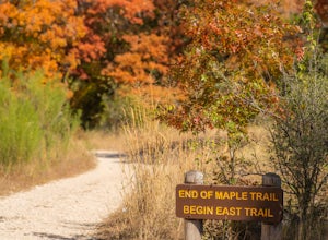
Hike the East Trail at Lost Maples
5.04.52 mi / 561 ft gainLost Maples State Natural Area is the go to place if you want to escape to New England-like Fall scenery in Texas, which is hard to believe for some. Tucked away deep in Hill Country near Vanderpool, TX, Lost Maples has a unique supply of Maple trees thanks to the deepness of the canyons found in...Read more -
Vanderpool, Texas
Hike the Lost Maples West Trail Loop
4.07 mi / 849 ft gainThe Lost Maples West Trail Loop is a 7 mile loop hike that loops around the west portion of Lost Maples State Park. This trail is mostly shaded and offers gorgeous views and scenic overlooks. There are areas for swimming, if desired. Please be advised that there are steep areas and challenging in...Read more -
San Antonio, Texas
Hike Cedar Flats Trail at Eisenhower Park
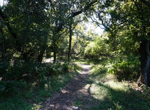
4.02 mi / 170 ft gainEisenhower Park is located on the north side of San Antonio, outside of loop 1604. Take the road to Camp Bullis, and you'll see the entrance to the park on your left a few hundred feet before the gate to the military base. The Cedar Flats trail will get you to your destination. It's an easy mile ...Read more -
San Antonio, Texas
Hike the Mud Creek Loop at McAllister Park
1.5 mi / 181 ft gainI love McAllister Park. Sure it can get a little stinky after the torrential Texas rains sweep through, but on a clear, dry day you can always find a new and LOVELY trail. The Mud Creek Loop (or the Green Loop) is a 1.5 mile dirt trail used by hikers and mountain bikers. The trail itself is rela...Read more -
Concan, Texas
Ol' Baldy, Bird, Bridges, Madrone Loop
5.02.77 mi / 938 ft gainGarner State Park is one of the best parks in Texas Hill Country if you are looking for some hiking with elevation. It is incredibly scenic, has plenty of campgrounds, and is also nearby to Lost Maples State Natural Area - a park very well-known for its fall foliage. If you happen to visit Garner...Read more

