Tullahoma, Tennessee
Looking for the best hiking in Tullahoma? We've got you covered with the top trails, trips, hiking, backpacking, camping and more around Tullahoma. The detailed guides, photos, and reviews are all submitted by the Outbound community.
Top Hiking Spots in and near Tullahoma
-
Gruetli-Laager, Tennessee
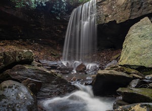
Hike to Suter and Horsepound Falls
4.06 mi / 1794 ft gainLocated in South Cumberland State Park in the Savage Gulf section, this is a somewhat difficult 5 mile out-and-back viewing two waterfalls, cascades, creeks, rock shelters, and high bluffs. 2 miles past Suter Falls you'll come to Horsepound Falls, a unique waterfall formation with overlooks and l...Read more -
Murfreesboro, Tennessee
Explore Stones River National Battlefield
3.3 mi / 85 ft gainOn the last day of 1862 one of the bloodiest conflicts in the American Civil War started. By the time the Battle of Stones River ended on 2 January 1863 each side had suffered the highest percentage of casualties. For many reasons this was one of the major battles of the Civil War. The Battlefiel...Read more -
Palmer, Tennessee
Hike the North Plateau-North Rim Loop at Savage Gulf
4.014.7 mi / 2483 ft gainFrom the Savage Ranger Station, take the Savage Day Loop for roughly 2.2 miles until you reach the junction. From there take the North Plateau trail and return on the North Rim trail. The elevation gain on this trail is rather gradual and and subtle, but it is a long trek that requires endurance ...Read more -
Palmer, Tennessee
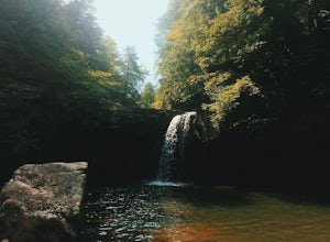
Savage Falls Trail
5.02.98 mi / 495 ft gainSavage Gulf Natural Area has more than 50 miles of trails, so be sure to start this adventure from the Savage Gulf Ranger Station entrance. To the right of the building, you'll find the trailhead for the Savage Day Loop. There, you can begin the 1.8-mile journey to the park's more-secluded waterf...Read more -
Rock Island, Tennessee
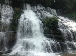
Twin Falls, Rock Island State Park
4.40.3 mi / 125 ft gainUpon entering Rock Island State Park from the east, the parking area for this trail is located right after the old cotton mill (my friend and I actually ended up getting lost because it is tucked away there quite nicely). The trail that leads to Twin Falls actually starts at the westernmost part ...Read more -
Chattanooga, Tennessee
Snoopers Rock Trail
5.05.79 mi / 1339 ft gainSnoopers Rock Trail is an out-and-back trail that takes you by a river located near Chattanooga, Tennessee.Read more -
Scottsboro, Alabama
Stephens Gap
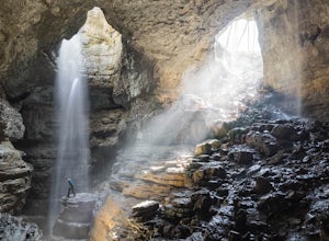
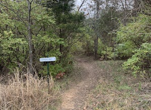
4.51.38 mi / 381 ft gainThe hike is 2 miles round trip. It starts from the open space where you park. (Details on where to park when you email in the permit). There is a sign labeled as the trailhead. Trail is easily visible, but just in case you can't follow it, they have marked it with yellow flags on trees. The trail...Read more -
Scottsboro, Alabama
Explore Tumbling Rock Cave
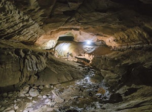
5.02.4 mi / 200 ft gainAs Tumbling Rock Cave is a private property owned and controlled by SCCI, a permit is required to access the cave. Permits can only be applied for online here, and once granted, SCCI will provide the exact location of the cave. Caving is not only an inherently dangerous activity due to difficul...Read more -
Thompson's Station, Tennessee
Stephen's Way Trail
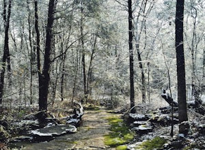
1.94 mi / 377 ft gainStephen's Way Trail is a loop trail that takes you through a nice forest located near Thompson's Station, Tennessee.Read more -
Lebanon, Tennessee
Hike the Hidden Springs Trail
3.54.5 miThis trail is a prime spot for anyone who wants to get a simple, but enjoyable walk in the woods. It's very well marked, flat, and can be enjoyed in any weather. Also, it is very dog friendly- Jolene loved it!Starting at the Trailhead across from the parking lot you may go right or left and follo...Read more

