Palmer, Tennessee
Looking for the best backpacking in Palmer? We've got you covered with the top trails, trips, hiking, backpacking, camping and more around Palmer. The detailed guides, photos, and reviews are all submitted by the Outbound community.
Top Backpacking Spots in and near Palmer
-
Beersheba Springs, Tennessee
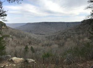
Hike to Stone Door and Alum Gap Campground
6.8 mi / 825 ft gainThis is a fun and easy overnight trip that is good for all ages. Start at the Stone Door Ranger Station which has plenty of parking and public restrooms as well. Follow the signs to the Stone Door Trailhead and in a short 0.8 miles you'll arrive at the edge of the gulf (canyon) and the first sign...Read more -
Altamont, Tennessee
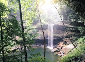
Greeter Falls and Blue Hole
4.91.79 mi / 417 ft gainAn easy, yet extremely beautiful and well marked drive leads to a pretty sizable parking lot at the trailhead. There are multiple trails to hike, depending on how much time you have or how long you want to hike. This particular trail makes for a perfect day trip from Nashville, Chattanooga or Kno...Read more -
Tracy City, Tennessee
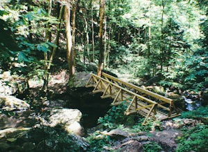
Hike the Fiery Gizzard Trail
5.013.5 miStart this journey from the Grundy Forest Trailhead, where you will quickly begin a decent along the Little Fiery Gizzard Creek. At the 0.7-mile split, be sure to turn left and cross the bridge to stay on the Fiery Gizzard Trail. For the next 0.8-mile journey, you'll encounter the gorgeous Black ...Read more -
Soddy-Daisy, Tennessee
Hike the Hogskin Upper and Lower Loop
5.01.4 miAfter an easy 25 minute drive from Chattanooga you will reach North Chickamauga Gorge on Montlake Road in Soddy Daisy. Park any where in the gravel loop just make sure other cars can get through. From the Montlake Road Trailhead Kiosk the trail begins on an old mining road. Hogskin Upper Loop Tr...Read more -
Sherwood, Tennessee
Walls of Jericho via Tennessee Trailhead
5.07.74 mi / 1667 ft gainWalls of Jericho via Tennessee Trailhead is an out-and-back trail that takes you by a waterfall located near Belvidere, Tennessee.Read more -
Sparta, Tennessee
Virgin Falls State Natural Area Loop
5.04.46 mi / 400 ft gainBeginning at the Virgin Falls SNA parking area, the Virgin Falls trail is approximately a 9 mile round trip (excluding any side trails) which will allow you to experience three waterfalls: Big Branch Falls, Big Laurel Falls, and the namesake Virgin Falls. There is a fourth, Sheep Cave Falls, that...Read more -
Estillfork, Alabama
Walls of Jericho via Alabama Trailhead
4.55.8 mi / 1417 ft gainAround 5pm, we hiked down the only clearly marked trail that departs from the parking lot. The path begins with gentle switchbacks and great views of the forest, occasionally passing by small waterfalls, sinkholes, and caves; and arriving at the Hurricane Creek crossing (log with handrail) after ...Read more -
Smithville, Tennessee
Hike to Carmac Falls
5.01 mi / 90 ft gainIt is important to note that Carmac Falls is located on the private property of Evins Mill, a resort and special event venue that hosts weddings, conferences and other contractually exclusive events. As such, one must be a guest of the resort in order to access its property and enjoy its trails, ...Read more -
Grandview, Tennessee
Hike to Piney Falls
5.01.5 mi / 500 ft gainThe gravel road heading to the trailhead is on the rougher side to take it slow. When you get to the trailhead it’s a small gravel pull off right off the road. There are no maps at the trailhead but there are only a few trails to take and they are marked with a blue marker. To get to the upper fa...Read more

