Corryton, Tennessee
Top Spots in and near Corryton
-
Ewing, Virginia
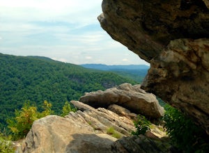
Backpack to White Rocks in Cumberland Gap National Historic Park
6.4 mi / 2000 ft gainCumberland Gap National Historic Park encompasses more than 20,000 acres of mountainous terrain spread out across Virginia, Tennessee, and Kentucky. The park offers miles of trails and many historic curiosities, including the actual saddle where pioneers first found their way over the Cumberland ...Read more -
Newport, Tennessee
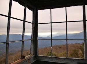
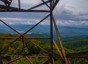
Explore Halls Top Fire Tower
4.01 mi / 200 ft gainHalls Top Fire Tower is a special untouched spot in the Cherokee National Forest. The road that leads you into the CNF is known as Halls Top Road just a few miles off of Interstate I-40. This road will take you 4.4 miles to the next turn onto Stone Mountain Road this road is 2.1 miles to the gat...Read more -
Cosby, Tennessee
Hike to Hen Wallow Falls in Great Smoky Mountains NP
5.04.57 miStart your adventure by parking in the Cosby Picnic Area Parking Lot near the entrance of the Cosby Campground. (127 Cosby Picnic Area Rd, Cosby, TN 37722.) Then backtrack through the parking lot about 100 yards until you see the sign marking the start of Gabes Mountain Trail. The trek to Hen W...Read more -
Bryson City, North Carolina
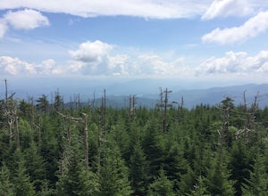
Clingmans Dome
4.41.23 miThe drive to Clingmans Dome is miles of scenic overlooks that provide endless views of ridges and valleys. Clingmans Dome Road comes to a parking lot from which you follow a .5 mile paved trail to the summit. There are also several trails that start on Clingmans Dome Road. Most notably The Appal...Read more -
Bryson City, North Carolina
Andrews Bald
5.03.55 mi / 1200 ft gainThe trail begins at the Clingmans Dome parking lot, just to the left of the paved walkway up to Clingmans Dome. You will start the hike at an elevation of 6130 feet which is only 334 feet less than Clingmans Dome which is the highest point in The Great Smoky Mountain National Park, and the second...Read more -
Bryson City, North Carolina
Clingmans Dome Loop
25.75 mi / 4000 ft gainThe first day of the hike is either 12.3 miles or 10.5 miles (depending on the campsite) almost all downhill, and the second half of the loop is 13.3 miles or 11.5 miles, again depending on the campsite, almost exclusively uphill. Just as a reference the first day took us about 6 and a half hours...Read more -
35.556724,-83.495827
Forney Creek Loop
4.519.04 mi / 3500 ft gainThis is an overnight loop hike that is built around one night in the back country. It can be done as an ambitious day hike. Be advised that permits are required by the NPS for all overnight stays in Great Smoky Mountain National Park. The hike begins at the Clingman's Dome parking lot at the For...Read more -
Cosby, Tennessee
Hike to the Mount Cammerer Lookout Tower
4.510.99 mi / 3040 ft gainMost visitors have a vision of how they'd like to see Great Smoky Mountains National Park, and it typically involves climbing to the top of a mountain like 4,928-foot Mount Cammerer. This is a very strenuous hike involving a breathtaking amount of elevation gain along the rugged Low Gap and Appal...Read more -
Pineville, Kentucky
Explore the Lookout from Chained Rock
5.0Located just north of the Cumberland Gap, Chained Rock is a local landform made unique by a long slung chain that comes with a tall tale of it's creation. According to legend the rock pinnacle overlooking the Cumberland River valley struck fear into the minds of young children, which was eased wi...Read more -
Hartford, Tennessee
Whitewater Rafting the Pigeon River
5.0The Pigeon River is a dam controlled river that winds its way through North Carolina and Eastern Tennessee just outside Great Smoky Mountains National Park. The river provides beautiful views as one paddles along via raft or kayak. Cutting through portions of the Pisgah and Cherokee National For...Read more -
Robbinsville, North Carolina
Gregory Bald via Twentymile
4.015.42 mi / 3694 ft gainGregory Bald via Twentymile is a loop trail where you may see beautiful wildflowers located near Robbinsville, North Carolina.Read more -
Bryson City, North Carolina
Kephart Prong Trail, Great Smoky Mountains NP
5.03.92 mi / 850 ft gainKephart Prong is a pretty easy hike in close proximity to the Visitor Center on the North Carolina Side of GSMNP. 2 miles up the trail, you'll arrive at Kephart Shelter, where you can rest and enjoy vies of the Kephart Prong. Once you've had your fill, head back down the way you came. During th...Read more -
Bryson City, North Carolina
Charlies Bunion via Kephart Loop
14.14 mi / 3671 ft gainCharlies Bunion via Kephart Loop is a loop trail located near Cherokee, North Carolina. This is a longer version of the Charlies Bunion hike starting from the Newfound Gap parking lot. The added benefit of this longer loop is the opportunity to see more of the Great Smokey Mountains! You'll pass ...Read more -
Fontana Dam, North Carolina
Shuckstack Fire Tower
5.08.84 mi / 2605 ft gainYour Shuckstack adventure starts at the Fontana Dam outside of Bryson City, NC. As the highest dam East of the Rocky Mountains, it's a sight on its own. This will be your last chance to fill up water bottles and use the restroom so take advantage. You can leave on foot from the dam and continue ...Read more -
Lancing, Tennessee
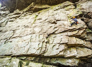
Climb The Lilly Bluff Wall
The Obed Wild and Scenic River is typically not found in the same conversations as Zion or Yosemite, but be assured this hidden gem of Tennessee is one of the East Coast's must climb destinations.There are a number of climbing areas within the Obed worth exploring, ranging from bouldering to mul...Read more -
Lancing, Tennessee
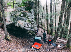
Bouldering at Lilly Boulders
Start the quick approach to Lilly Boulders from the Lilly Overlook parking area. For directions, plug the coordinates 36.10277, -84.72147 into your GPS or try here. At the leftmost part of the parking lot, you will see a sign for the trailhead leading to the boulder field. Follow this 0.2-mile t...Read more

