Corryton, Tennessee
Top Spots in and near Corryton
-
Kodak, Tennessee
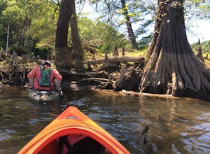
Kayak Seven Island Wildlife Refuge
5.0Begin your trip by putting your kayak in the water at Kelly Lane. The parking area is large and grassy. The trip is 4 miles and takes about two hours. On your journey you will have views of flower fields and rock walls. Once you get to the island paddle around and see the wildlife. There is a sec...Read more -
Rutledge, Tennessee
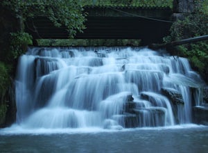
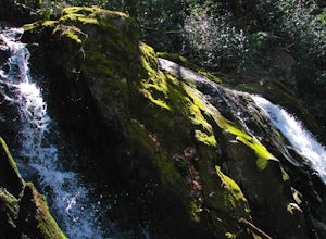
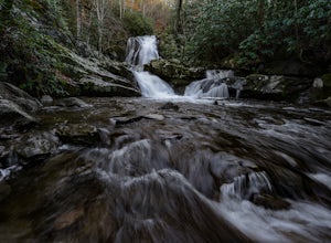
Buffalo Creek Falls
5.0Buffalo Creek is located near Rutledge, Tennessee and Cherokee lake. It is a wilderness area with a fish hatchery run by TWRA and a few acres of game land. You can drive straight up to the falls then hike around a little bit through the river to see the rest of the river and fishing areas. The be...Read more -
Caryville, Tennessee
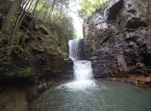
Triple Falls AKA Little Egypt
4.01.95 mi / 682 ft gainTriple falls trail otherwise known as little egypt is known for its cooling waterfalls in the summer and fall and the beautiful views from the top of the mountain year round. Getting to it is pretty easy all you have to do is follow your GPS until you see a small dirt parking lot off the side of ...Read more -
Unnamed Road, Tennessee
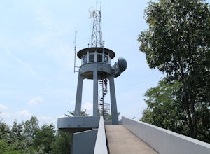
Hike to Hatfield Knob Elk Viewing Tower
1 mi / 200 ft gainHIGHLY RECOMMENDED TO HAVE A 4WD VEHICLE OR ALL WHEEL DRIVE. The road to the trail-head can be very dangerous at times because of mud and debris, because of this an all wheel drive at least is very useful if you only have a 2WD car or truck I suggest only going in dry conditions. When you get t...Read more -
Walland, Tennessee
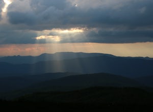
Drive the Foothills Parkway National Scenic Byway
5.0The foothills parkway runs parallel to the Great Smoky Mountains. It is 38.6 miles in total with the longest section at 33.0 miles. There are a few different places to get on to the parkway. There is one entrance near Fontana, Walland, Wears Valley, and Cosby. However Cosby is a smaller section a...Read more -
Oak Ridge, Tennessee
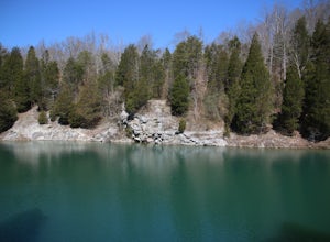
Hike to North Boundary Quarry
5.01 mi / 100 ft gainThe parking at the trailhead is right off of the Oak Ridge turnpike so its very easy to park and there are plenty of spots to park. The trail is very wide and is a great place for taking kids and riding your bike. There are more than one trail that you can take to get to the quarry from the trail...Read more -
Sevierville, Tennessee
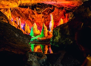
Spelunking in Forbidden Caverns
5.0When exploring all that Tennessee has to offer, it’s hard to ignore the fact it is home to more caves than any other state in America. So when picking one, of more than 10,000, to explore it is hard to go wrong. Forbidden Caverns happens to be one of the most popular spots and is only a few minut...Read more -
Gatlinburg, Tennessee
Hike to Upper Meigs Falls
5.03.55 mi / 1000 ft gainParking available off of Little River Gorge Road (State Hwy. 73) at The Sinks/Meigs Creek Trailhead. The trail starts with winding elevation gain until it crests around 1 mile into the hike (notice pine trees at higher elevation). After the crest it starts descending towards Meigs Creek. While f...Read more -
Wartburg, Tennessee
Hike to Frozen Head State Park Fire Tower
4.54.5 mi / 1300 ft gainTo get to this hike the easiest way is to go up Petros hwy near the closed Brushy Mountain State prison. The trailhead is a large gravel lot on the side of the road. The trail is an old road so it is wide and well taken care of. However, the trail is very steep all the way up. The trail has only ...Read more -
Tallassee, Tennessee
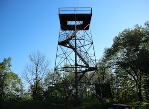
Hike to Look Rock Tower
5.01 mi / 300 ft gainLook Rock tower has spectacular views and is a great hike to enjoy year round. The tower is an old fire tower used for spotting smoke in the valley. Because of this the tower is placed on the highest ridge around making for some amazing views. The only way to get to the tower is along the Foothil...Read more -
Townsend, Tennessee
Spruce Flats Falls
4.81.64 mi / 495 ft gainTo get to Spruce Flats Falls, you will want to drive down 2.2 miles down the scenic Tremont Road to the Great Smoky Mountains Institute and park in the visitor center parking area. You will then want to ascend up the gravel road past the sign that says restricted to unrestricted traffic (meaning ...Read more -
Sevierville, Tennessee
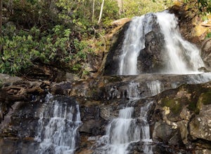
Laurel Falls Trail
4.32.45 mi / 314 ft gainThis straightforward, yet scenic hike follows a paved trail to the falls, which is among the most popular in the park. This trail can be especially crowded during the summer, so be sure to arrive early. Keep an eye out for a few steep drop-offs on either side of the trail along the way. There ha...Read more -
Gatlinburg, Tennessee
Twin Creeks Trail
4.04.54 mi / 879 ft gainTwin Creeks Trail is an out-and-back trail that takes you by a river located near Gatlinburg, Tennessee.Read more -
Gatlinburg, Tennessee
Gatlinburg Trail
5.03.8 mi / 351 ft gainGatlinburg Trail is an out-and-back trail that takes you by a waterfall located near Gatlinburg, Tennessee.Read more -
Gatlinburg, Tennessee
Cataract Falls, Smoky Mountains
4.41.09 miYou will find the trailhead to this gravel path just to the left of the Sugarlands Visitor Center. The easy walk along Fighting Creek is scenic and tends not to be crowded, either. At the end of the hike you will find a beautiful 25-foot waterfall. Please refrain from climbing on or around the f...Read more -
Wartburg, Tennessee
Hike to Debord and Emory Gap Falls in Frozen Head SP
4.33.2 mi / 465 ft gainThe trail head begins just over the bridge and is labeled as the Panther Branch trail head. To began you will continue straight and within .6 miles of hiking you will come to the first waterfall on a branch off on the right side of the trail. This first waterfall is Debord Falls and it can be eas...Read more

