Blount County, Tennessee
Top Spots in and near Blount County
-
Gatlinburg, Tennessee
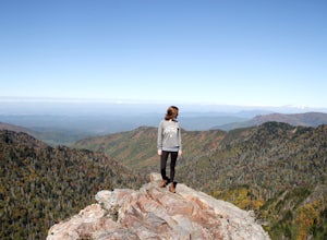
Charlies Bunion via Appalachian Trail
5.04.32 mi / 1640 ft gainFrom the Sugarlands Visitor Center near Gatlinburg, drive approximately 13 miles south on Newfound Gap Road to reach the Newfound Gap Parking Area (it'll be on your left). The parking area is free and there are bathrooms. Follow the Appalachian Trail towards Katahdin, Maine (1972 miles away, woah...Read more -
Gatlinburg, Tennessee
Hike to the Jump-Off
4.36.2 mi / 1079 ft gainThis trail starts at the Newfound Gap parking lot. Newfound Gap is situated on the border of Tennessee and North Carolina. The views from Newfound Gap overlook North Carolina and are worth the trip in their own right. The restroom facilities are clean and have flushing toilets. Follow the crowds ...Read more -
Gatlinburg, Tennessee
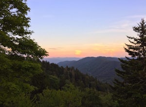
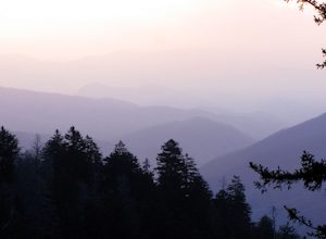
Catch a Sunrise at Newfound Gap
5.0Newfound Gap is a mountain pass in Great Smoky Mountains National Park. Newfound Gap is accessible via U.S. Route 441 from Gatlinburg, TN or Cherokee, NC. You can watch the sunrise from the parking lot at Newfound Gap or the viewing platform adjacent to the parking lot.At sunrise, layers of pink ...Read more -
Gatlinburg, Tennessee
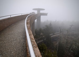
Hike to Clingman’s Dome via Newfound Gap
4.516.6 mi / 1600 ft gainThis route to Clingmans Dome is available throughout the year. But during the winter months from December 1 through March 31, the 7-mile Clingman’s Dome Road that branches off Highway 441 at Newfound Gap, stays closed. This means the usual drive to the parking area located just a half mile below ...Read more -
Gatlinburg, Tennessee
Mount LeConte Lodge via the Boulevard Trail
15.95 mi / 3000 ft gainBegin your adventure by arriving at the Newfound Gap parking lot - before first light. Why? Because you won't want to miss the incredible sunrise from the parking lot - even before you step foot on the trail! It is said that a hiker will never get overly warm hiking the Boulevard to Leconte due ...Read more -
U.S. 441, Tennessee
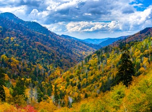
Photograph the Smokies from Morton Overlook
4.3The Morton Overlook is one of the Great Smoky Mountains National Parks most well known and visited overlooks. Morton offers a wide view of the Great Smoky Mountains and is a perfect spot for some really good photography opportunities. Coming from Gatlinburg, TN it is roughly 13 miles from the vis...Read more -
Knoxville, Tennessee
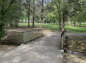
Adair Park
1.5 miThis Urban park is located in North Knoxville. The park is only a few minutes from downtown Knoxville. This park is small but offers a nice wilderness in the city. There is a lot of wildlife at this park. The park has many hiking/biking trails through the park. In total there is 1.5 miles of gree...Read more -
Tellico Plains, Tennessee
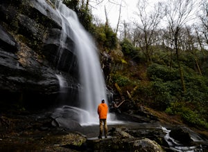
Hike to Falls Branch Falls
5.02.6 mi / 540 ft gainTo get to the trailhead, drive 22.5 miles on the Cherohala Skyway from Tellico Plains, Tennessee. If you are coming from the North Carolina side, drive 20.5 miles to the trailhead. The trailhead parking area is marked by a large green sign saying West Rattlesnake and is surrounded by a low stone ...Read more -
Gatlinburg, Tennessee
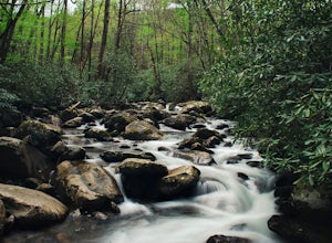
Fern Branch Falls
5.03.7 mi / 700 ft gainTake Porters Creek Trail, a gravel road alongside Porters Creek. You will pass by an old farmstead and cemetery, as well as lots of wildflowers if you're out during the spring. In a mile, keep left, then in another half mile or so you should cross over a small (and somewhat harrowing) footbridge...Read more -
Lake Santeetlah, North Carolina
Huckleberry Knob
4.81.77 mi / 295 ft gainHuckleberry Knob is the highest point in the Cheoah Ranger District at 5,560 feet, and it offers expansive views of the surrounding Cherokee and Natahala National Forest. The hike is 2.4 miles roundtrip and begins at the parking lot between mile 8 and 9 up an old dirt road. You will go up the di...Read more -
Tellico Plains, North Carolina
Hike to Whiggs Meadow
3 mi / 700 ft gainYou will start your hike off of the Cherohala Skyway. The trail-head is a small asphalt pull-off on the right if you are coming from Tellico Plains. From the trail-head the trail starts up and almost all of the trial is an uphill incline on the way there with about 700 feet of elevation change ov...Read more -
Knoxville, Tennessee
Strechi Hills Greenway
4.2 mi / 0 ft gainThis greeway is located in north Knoxville near the Sterchi Hills neighborhood. The greenway is 2.1 miles one way so it can make for a good run through the woods. All of the greenway is paved and most of it is under tree cover so it is shaded most of the time. This is a great trail to see birds a...Read more -
Bryson City, North Carolina
Explore Old 288 and the Lands Creek Bridge
2.51 miNC 288 was constructed in the 1920's, but did not last long with the construction of the Fontana Dam as the resulting lake covered the highway. The U.S. government entered an agreement in which they would provide a replacement road, but to this day it has not been completed and is know by locals ...Read more -
Robbinsville, North Carolina
Hike Hooper Bald
1 mi / 250 ft gainHooper bald is one of the highest points in Graham County so the views from the top can be spectacular year round. The trail-head starts at mile marker 8 on the Cherohala Skyway. From the trail-head you start your accent on a semi-paved trail and walk about a half-mile before reaching the edge o...Read more -
Bryson City, North Carolina
Hike to Lonesome Pine Overlook
5.07 mi / 2300 ft gainTo start the hike to Lonesome Pine Overlook begin from the Noland Divide Trailhead in Deep Creek. The trail is a steady climb with an average gain of 700 ft. every mile. Approaching the top you'll walk along a rocky ridge line where you are able to see the overlook. As you continue, be sure to lo...Read more -
Bryson City, North Carolina
Hike Three Waterfalls Loop
5.02.4 mi / 450 ft gainStart the loop by hiking the Juney Whank Falls Trail to Juney Whank Falls. The footbridge across the creek makes an excellent place to rest and take in the falls. Follow the trail across the bridge and up the bank. After about 300 feet take a right and follow Deep Creek Horse Trail towards Deep C...Read more

