United States
Looking for the best photography in United States? We've got you covered with the top trails, trips, hiking, backpacking, camping and more around United States. The detailed guides, photos, and reviews are all submitted by the Outbound community.
Top Photography Spots in and near United States
-
Steamboat Springs, Colorado
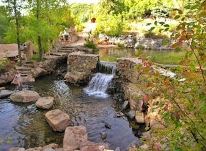
Strawberry Park Hot Springs
4.6No matter the time of year, if you are going to be anywhere near Steamboat Springs, Strawberry Park Hot Springs is a can’t-miss experience. Steamboat is known primarily as a ski resort, but the area also offers amazing hikes and fishing in the summer, and top-notch leaf-peeping in the fall. Add a...Read more -
Pleasant Grove, Utah
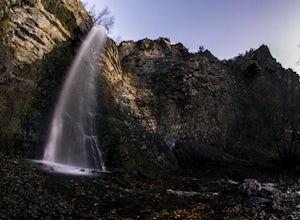
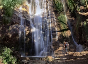
Battlecreek Falls
4.71.09 mi / 486 ft gainBattlecreek Falls is a great place to get away after a long day of work—or if you're looking for a great hike but are short on time. It's a great way to get the dog or your family out to enjoy some nature. The falls are about a 15-25 minute walk from the parking lot, the waterfall is enormous an...Read more -
YOSEMITE NATIONAL PARK, California
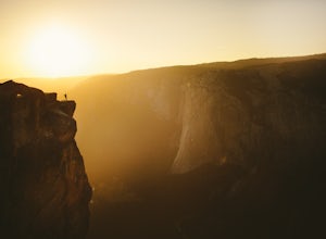
Taft Point
4.92.35 mi / 200 ft gainTaft Point is such an amazing and different view of the Yosemite Valley. If you're lucky and you time it right, you'll also experience complete solitude. While driving Glacier Point Road, just a few minutes before arriving at Glacier Point, you'll see a parking lot for the Taft Point Trailhead. ...Read more -
Forks, Washington
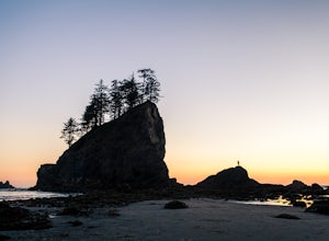
Camp at Second Beach in Olympic NP
1.4 miSecond Beach is recognized as one of Olympic National Park’s crown jewels, and its views and surroundings don’t disappoint. It's a great place to spend a night but it can also be done as just a day trip if you wish.To access the beach, you’ll need to make an easy 0.7-mile with minimal elevation c...Read more -
Scottsboro, Alabama
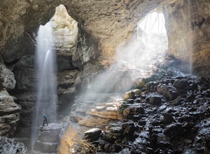
Stephens Gap
4.51.38 mi / 381 ft gainThe hike is 2 miles round trip. It starts from the open space where you park. (Details on where to park when you email in the permit). There is a sign labeled as the trailhead. Trail is easily visible, but just in case you can't follow it, they have marked it with yellow flags on trees. The trail...Read more -
Hubbard, Texas
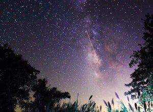
Stargaze at Hubbard City Lakes Park
4.5Hubbard City Lakes Park is located about two miles south of the town center of Hubbard off of Highway 31. If you're heading south on 31 you'll make a right on to Country Road 3360 (and if you're heading north you'll make a left). It will be a dirt road, but I took my VW wagon on it so most cars ...Read more -
Solana Beach, California
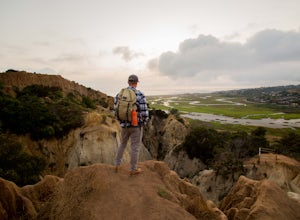
Annie’s Canyon Trailhead
4.72 mi / 100 ft gainIf you're looking for a super short hike, this 10 minute flat walk couldn't be more ideal. Start at 840 N Rios Avenue, Solana beach and walk east towards the FWY 5 where you will see Annie’s Canyon on your right. There is only one way to go up the canyons and it gets pretty tight in places, but y...Read more -
Rising Fawn, Georgia
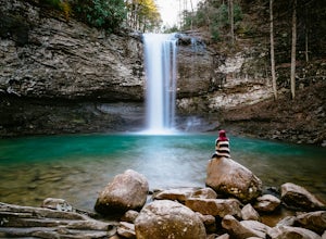
Cloudland Canyon's Waterfall Trail
4.91.21 mi / 325 ft gainWhen you enter Cloudland Canyon State Park you will drive straight through all of the 4 way stops for about 1 mile before you reach the parking lot for the Waterfall Trail. The parking area does have restrooms and picnic tables if you would like to bring a lunch. What goes down must come up! I...Read more -
Old Fort, North Carolina
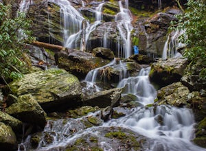
Catawba Falls
4.82.19 mi / 394 ft gainPlease note, Catawba Falls is temporarily closed. You can learn more about updates at www.fs.usda.gov. This quick and relatively easy hike is located close to Asheville, NC. If you're looking to have the trail to yourself, it can be a little tough. It's best to get there as early as possible or ...Read more -
Larimer County, Colorado
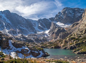
Sky Pond via Glacier Gorge Trailhead
4.78.43 mi / 1780 ft gainStart at the Glacier Gorge trailhead on Bear Lake Road. Parking is limited so it is advised to get there very early. It's a longer hike so plan on taking a full day to complete or stay overnight to enjoy more of the scenery. Within the first mile on the Glacier Gorge Trail you will pass by Alber...Read more -
Sandy, Utah
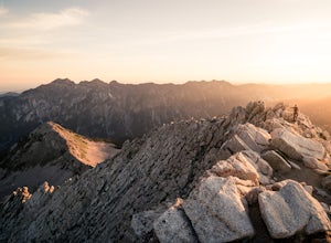
Summit the Pfeifferhorn
5.09 mi / 3700 ft gainStarting at the White Pine Trailhead in Little Cottonwood Canyon, UT, hike southwest until reaching the junction to Red Pine Canyon. Take the trail that crosses the stream and continues west around the ridge. The trail will quickly turn south and begin to gain elevation. Continue west as you pass...Read more -
Malibu, California
Escondido Falls Trail
4.33.74 mi / 699 ft gainThis 3.8 mile out-and-back hike takes place on a very easy to use trail. The first 0.75 miles on Winding Way are paved, leading you up to Escondido Canyon Trail. As you head up Winding Way, it’s safest to stay on the side of the road on the dirt. You’ll take this paved road up roughly 200 feet be...Read more -
Blairsville, Georgia
Blood Mountain via Byron Reece Trailhead
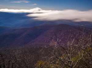
4.74.34 mi / 1447 ft gainThe Chattahoochee National Forest and Cohutta Wilderness make up the wild and scenic southern tip of the Blue Ridge Mountains. The Blood Mountain trail offers the day hiker a taste of the Appalachian Trail that does not disappoint. The hike starts at the Byron Reece trailhead at Neels Gap where ...Read more -
Cascade Locks, Oregon
Tunnel Falls
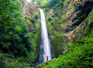
4.411.87 mi / 2874 ft gainThis hike begins at the Eagle Creek Trailhead. This is the same trailhead that goes to popular Punchbowl Falls. The trail to reach Tunnel Falls is 12 miles roundtrip on an out and back trail. If you continue another 0.5 miles on the trail after Tunnel Falls you will reach Twister Falls. The hike ...Read more -
Rancho Palos Verdes, California
Terranea Beach Sea Cave
4.31.63 mi / 210 ft gainHead to the Pelican Cove parking lot where there’s plenty of free parking right at the trailhead. From the parking lot, take the Terranea Beach Trail and you will see views of the Point Vicente Lighthouse down the coast to your right. Continue on the trail through the luxury Terranea Resort whic...Read more -
Brighton, Utah
Hike Lakes Mary, Martha and Catherine (Brighton Lakes)
4.64.41 mi / 1253 ft gainThis trail is a local favorite because you can make it as hard or as easy as you want it to be! You can stop at the first lake which is only 1 mile from the parkinglot, or you can go to the top of one or more of the 5 peaks that are surrounding the lakes for an added challenge. It is 3.5 miles ro...Read more

