Manheim, Pennsylvania
Looking for the best hiking in Manheim? We've got you covered with the top trails, trips, hiking, backpacking, camping and more around Manheim. The detailed guides, photos, and reviews are all submitted by the Outbound community.
Top Hiking Spots in and near Manheim
-
Havre de Grace, Maryland
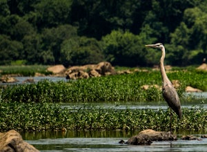
Hike the Susquehanna Ridge Trail at Susquehanna State Park
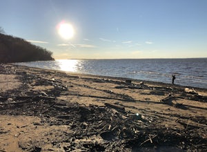
6 miWhat is it with Harford County and its slew of awesome parks? Nestled in the Northeast corner of Maryland, between the Chesapeake Bay and the river it takes its name from, Susquehanna State Park is gorgeous. A couple miles and a world away from I-95, SSP is expansive and lush. There are 15 miles ...Read more -
Kennett Square, Pennsylvania
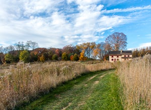
Hike the Meadow Garden at Longwood Gardens
1.7 mi / 3 ft gainLongwood Gardens, located in Kennet Square Pennsylvania, is one of the premier horticultural display gardens in the country. Explore over 1,077 acres of gardens, woodlands, wetlands, and floral displays. Don't miss the Meadow Garden Trail!The Meadow Garden features an 86 acre expanse of native pl...Read more -
Newark, Delaware
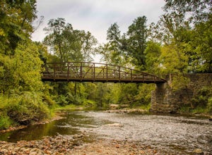
Hike the PennDel Trail at White Clay Creek SP
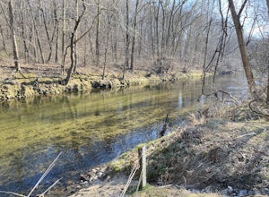
5.01.9 mi / 0 ft gainWhite Clay Creek State Park is a large expanse of beautiful woods and streams with over 37 miles of trails. The PennDel Trail follows White Clay Creek and winds through the hardwood forests. The PennDel Trail actually begins at the Pennsylvania state line, but the easiest way to access the trail...Read more -
New Bloomfield, Pennsylvania
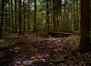
Hike the Buffalo Ridge Trail
2.5 miThis hike is marked as one of the most difficult at Little Buffalo, but we didn't find it to be overly exhausting. For someone that is used to hiking, this trail is a breeze. There are a few semi-steep inclines, but for the most part the trail is easy to navigate. There are picnic tables located ...Read more -
Newark, Delaware
Hike White Clay Creek Preserve Loop Trail
11.5 mi / 856 ft gainThis trail runs through a wooded area and is great for all skill levels. It is mostly used for walking, hiking, running, and mountain biking. Though the entire loop itself is quite lengthy, there are connecting trails that you can embark on to add to or shorten your trip. The trails are well main...Read more -
Newville, Pennsylvania
Hike Pole Steeple, Pine Grove Furnace SP
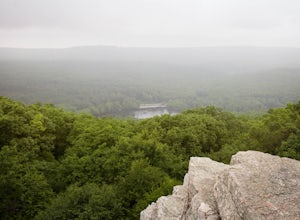
3.61.5 mi / 1250 ft gainPole Steeple begins in Pine Grove Furnace State Park and ends in Michaux State Forest. The hike is short, only a .75 mile climb up, and ends at the rock outcropping where you get a great view of the entire park. Pole Steeple is the main trail to the summit but there is also a longer, less steep o...Read more -
North East, Maryland
Hike the Elk Neck State Forest Trails
3.56.6 mi / 450 ft gainPark in the lot (see map) and follow signage for the loop trail. This is not a highly trafficked trail so there may be sections that need some maintenance, but that won't get in the way of completing the hike.Read more -
Kingsville, Maryland
Hike the Jerusalem Village Trail & Jericho Covered Bridge Trail
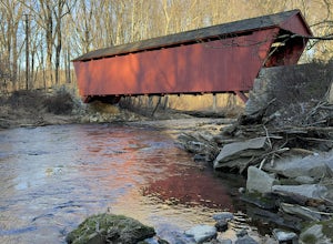
4.3 mi / 341 ft gainThis is a moderately rated hike that features a river and quite a few hilly sections. The trail is known to be rather muddy, so be sure to wear appropriate waterproof footwear. Note that some sections of the trail are not well marked. You may want to review a map before embarking. There is park...Read more -
Cockeysville, Maryland
Hike the Oregon Ridge Park Trail
4.04.02 mi / 475 ft gainPark in the lot as indicated on the map (see below). This trail is accessible year round, dog-friendly, and is great for families.Read more -
Gardners, Pennsylvania
Hike to Sunset Rocks in Michaux State Forest
4.08.3 mi / 1000 ft gainSunset Rocks is a scenic two-mile spur off the Appalachian Trail in southern Pennsylvania's Michaux State Forest. If you hike it as a loop--incorporating 6 miles of the AT into the circuit--you can visit some of the AT's most notable landmarks in this area, including the remains of Michaux Camp (...Read more -
Wilmington, Delaware
Creekside and Brandywine Valley Trail Loop
4.55.5 mi / 20 ft gainThis loops starts out from the Rockland Road Trail head. There is a pay station here that is self-regulated. Creekside Trail starts here and runs the entire length of Brandywine Creek State Park along the Brandywine River. The trail is an easy 2.6 miles long and continues into First State Natio...Read more -
Wilmington, Delaware
Hike the Hidden Pond Trail
4.02.15 mi / 282 ft gainBrandywine Creek State Park, a 933-acre park located in Northern Delaware, offers 14 miles of hiking trails, expanses of open fields, and the beautiful Brandywine Creek. The Hidden Pond trail is an excellent hike through the hardwood forests and down to the banks of the creek. The trail begins ...Read more -
Malvern, Pennsylvania
Hike Valley Forge
3.92.5 miThere are many trails to choose from on Mt. Misery and a good place to start is at the parking lot located at the intersection of Yellow Springs Road and Library Lane (off of the main Valley Creek Road).The Mt. Misery Trail starts there, heads up through the trees about 0.75 miles and meets up wi...Read more -
Wilmington, Delaware
Rocky Run Loop Trail at Brandywine Creek State Park
3.2 mi / 272 ft gainThe Rocky Run Trail is a 3.2-mile loop through Brandywine Creek State Park in Wilmington, Delaware. The trail has some nice views of the Brandywine River and the surrounding forest. There are some rocky areas of mild elevation, so be prepared. The trail is not well marked, and there are many of...Read more -
New Castle County, Delaware
Hike the Indian Springs Trail
5.01.8 miThe Indian Springs trailhead is located to the right of the Brandywine Creek State Park Nature Center. The address for your GPS is 41 Adams Dam Road, Wilmington, DE, 19807.The trail starts out following along a crafted stone wall built in the 1800's and leads you through the 190 year-old tulip po...Read more

