Jim Thorpe, Pennsylvania
Top Spots in and near Jim Thorpe
-
Sweet Valley, Pennsylvania
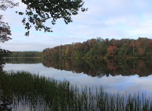
Camp at Ricketts Glen
Some would argue that the trails hidden inside this state park are some of the most scenic in all of Pennsylvania, while I haven't explored a ton of the state I sure see where the fans of this park are coming from. The campground is very large and reservations would be highly recommended if you a...Read more -
Birdsboro, Pennsylvania
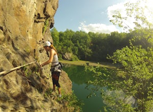
Climb at Birdsboro Quarry
To get there follow back roads to the parking lot that is tagged in the description. From here, follow the trail/road paralleling Hay Creek until you reach a few large buildings. There is an obvious sign here on the regulations of the area. Do not go through the fence to the right and instead ...Read more -
Tinicum Township, Pennsylvania
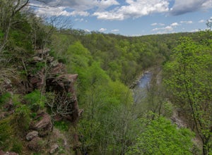
Hike the High Rocks State Park Loop
4.61.5 miHigh Rocks State Park, a section of Ralph Stover State Park, offers visitors some of the best views in Eastern Pennsylvania. Across from the parking lot on Tory Road, you will find the main trailhead. This will lead you to several different trail options, all varying in length, and all bringing y...Read more -
Benton, Pennsylvania
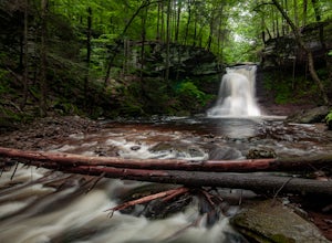
Sullivan Falls
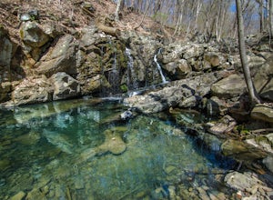
0.1 miSullivan Falls is a beautiful roughly 30 foot waterfall near Ricketts Glen State Park, but in State Game Lands Number 13. There is a large parking area with a huge stone labeled 'Sullivan Falls' and from the lot it is more of a short walk vs a hike back a trail to the top of the falls. However, t...Read more -
Frenchtown, New Jersey
Hike to the Devil's Tea Table
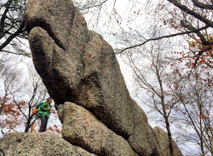
3.00.5 mi / 20 ft gainApart from the rock, there's more trail to follow for a stunning overview and a great spot to hang out and relax. The view is a must-see, it is so much better in person. The hike is not challenging at all, it is basically a straight trail. Climbing some medium sized rocks might be required, but i...Read more -
Douglassville, Pennsylvania
Hike the Lenape and Boone Trail Loop at French Creek State Park
4.5 mi / 715 ft gainFrench Creek State Park offers a web of trails for hiking and mountain biking with two lakes, picnic areas, and more. Hike the Lenape and Boone Trail Loop, a moderate 4.5 mile hike that winds through the forest and offers views of both of the park's lakes - Scott's Run Lake and Hopewell Lake. Dog...Read more -
Lehman township, Pennsylvania
Hike to Hornbeck's Creek Waterfall
4.31.2 miGPS Coordinates: 41.187148,-74.885454Driving Directions: From 209, enter into the Delaware Water Gap and in between the 10 and 11 mile markers you will see a sign for Hornbecks Creek with a gravel road adjacent to it. Follow the road back until you reach the parking lot and the trail will be to t...Read more -
Califon, New Jersey
Explore the Ken Lockwood Gorge
4.3One of New Jerseys best kept secrets has to be the Ken Lockwood Gorge. If you are looking for a relaxing, beautiful, and nature packs place then this area is perfect for you. You can access the gorge from two different points, either by driving down Raritan River Rd. and parking right before you ...Read more -
Stockton, New Jersey
Explore Kugler Woods Waterfall
4.00.5 miDrive 5.2 miles north on Route 29 from the center of Stockton, NJ and you will come across a very small parking lot on the left side of the road. If you park your car there, walk back south on Route 29 about 50 feet, and cross over to the woods-side of the road. There you will find the trailhea...Read more -
Doylestown, Pennsylvania
Photograph the Peace Valley Lavender Fields
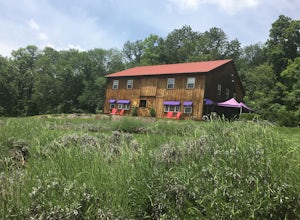
4.0Capture the beautiful barn house shop on a farm while taking in the wonderful scent of lavender. Peace Valley Lavender Farm is open during the day and sells a plethora of lavender products from soaps to eats. Pull into the driveway and park behind the barn house for free. It's a wonderful spot f...Read more -
Doylestown, Pennsylvania
Birdwatch at Peace Valley Park
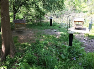
The feeder area is located in Peace Valley Park, tucked right behind the Peace Valley Nature Center. Here is where you'll find many unique smaller species. The shelter is covered and has several benches to relax on as you watch and photograph many varieties of birds. I've seen many blue jays and ...Read more -
Jonestown, Pennsylvania
Climb Boxcar Rocks
5.01 mi / 0 ft gainThe parking lot can be tricky to find your first time. From I-81 Take Tower City exit on Rt. 325 W. Before airport, take Gold Mine Rd south over first major ridge. After ridge look for a driveway/parking lot on the left, it is the one just downhill of the big wide open parking lot. The road has...Read more -
Califon, New Jersey
Bike the Columbia Trail: Califon to High Bridge
There are multiple places to pick up the Columbia Trail (High Bridge, Califon, Long Valley, Flanders) but this post is for biking or running from Califon to High Bridge and back. The best place to park is at the old town railroad station on, of course, Railroad Ave. You will be able to see the en...Read more -
Stockton, New Jersey
Hike to the Hidden Lockatong Waterfall
3.72 miIf you're on Kingwood Stockton Road, there will be a dirt road with a Lockatong Nature Preserve sign before it (going north on Kingwood Stockton Road, the sign will be on your left. If you're driving south, the sign will be on your right). Just drive all the way until the end of the dirt road and...Read more -
Dingmans Ferry, Pennsylvania
Hike to Indian Ladder Falls Along Hornbecks Creek
3.52 mi / 400 ft gainFor some time, the trail was eroded above the first falls on Hornbecks Creek, not allowing hikers to access the creek's upper falls if they were coming upstream from Route 209. I am writing this in June 2017 and that is no longer the case! You can hike from Rt. 209 all the way up the creek to Eme...Read more -
Dingmans Ferry, Pennsylvania
Explore George W Child's Park
4.01.4 mi / 144 ft gainOnce parked, enter the trailhead and follow the trail down Dingmans Creek to the first set of falls. Try taking pictures from off the trail to the right of these falls. Continue on to the second waterfall and again step off the trail to take pictures from the right side of the waterfall, if you d...Read more

