Forksville, Pennsylvania
Looking for the best hiking in Forksville? We've got you covered with the top trails, trips, hiking, backpacking, camping and more around Forksville. The detailed guides, photos, and reviews are all submitted by the Outbound community.
Top Hiking Spots in and near Forksville
-
Wellsboro, Pennsylvania
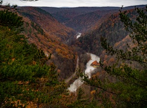
Grand Canyon of Pennsylvania Overlook Trail
1 mi / 430 ft gainGrand Canyon of Pennsylvania Overlook Trail is a loop trail that takes you through a nice forest located near Wellsboro, Pennsylvania.Read more -
Apalachin, New York
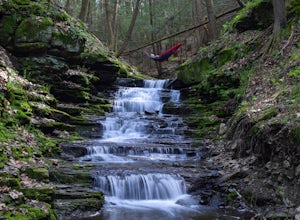
Hike the West Gorge Trail at Waterman Conservation Center
1.3 miPark anywhere near the conservation center when you pull into the parking lot and head towards the open field where a map kiosk stands. Follow the green trail markers (West Gorge Trail) to the creek where it follows along and intersect at about 0.4 miles. From here connect to follow the yellow tr...Read more -
Apalachin, New York
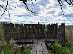
Hike and Birdwatch the Apalachin Marsh
5.01 miPark on the gravel "pull-off" West-bound on Route 434 in Apalachin (See pin). Walk along the fence and turn into the opening where you'll go through a tunnel about 20 yards long. From there you're in the preserve where you can hike the yellow trail, leading to the Bird Blind and other scenic over...Read more -
Wellsboro, Pennsylvania
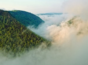
Barbour Rock Loop
2.64 mi / 331 ft gainThe parking can be found along Colton Road heading toward Colton Point State Park. There is a large sign opposite the parking and the trail is a wide gravel path through the woods. It is 0.7 miles walk on the path to the vista suitable for anyone. You then have the option to head back or create ...Read more -
Slate Run, Pennsylvania
Backpack the Black Forest Trail
5.042 mi / 8550 ft gainThe Black Forest Trail is an orange blazed horseshoe loop with many options for a starting point which over the years due to reroutes may make the trail a little longer than 42 miles . I started at the traditional trailhead on Slate Run Road and hiked counter clockwise. Many consider this trail t...Read more -
Cammal, Pennsylvania
Hike the Golden Eagle Trail
5.09.2 mi / 4382 ft gainThe Golden Eagle Trail, otherwise known as the GET, is a challenging day hike north of Cammal, Pennsylvania. Hikers have the option of taking the loop clockwise although most would say counter-clockwise is the best. The climb to the first summit, which is the most challenging, brings hikers throu...Read more -
Brown Township, Pennsylvania
Hike the Hemlock Mountain Loop
5.06.48 mi / 1200 ft gainThe trail starts where Naval Run Road ends. Follow the the blue blazes into Naval Run. After crossing Naval Run continue right up an old logging skid trail along the run. The trail will intersect with the Black Forest Trail at Naval Run Falls.The trail will follow the orange blazes of Black Fo...Read more -
Brown Township, Pennsylvania
Hike the Gas Line Ridge Loop
3.8 mi / 900 ft gainPark at the end of Naval Run Road, at the end of the road to the right, follow the sign for Lance Raisch Trail marked with yellow blazes. This is the first of three trails that this loop will use. The Lance Raisch Trail climbs in elevation along Naval Run and after about a quarter mile will ins...Read more

