Forksville, Pennsylvania
Looking for the best chillin in Forksville? We've got you covered with the top trails, trips, hiking, backpacking, camping and more around Forksville. The detailed guides, photos, and reviews are all submitted by the Outbound community.
Top Chillin Spots in and near Forksville
-
Forksville, Pennsylvania
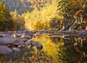
Camp at World's End Park Campground
5.0World's End Campground is tucked into a valley in the Loyalsock State Forest. Recreational opportunities abound here. Lay low and explore the valley, hike to the ridges and take in the views, or play in the Loyalsock creek which runs by the campground. The lush Pennsylvania wilderness makes for a...Read more -
Muncy Valley, Pennsylvania
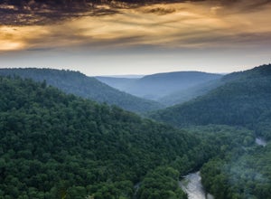
Photograph The Loyalsock Canyon Vista
4.0Take a drive to World's End State Park through the Loyalsock Valley and enjoy a great view. Once you enter the state park via 154, drive past the main parking area and take a right onto Mineral Spring Road and follow it until you take a left onto Cold Run Road. The road up is about two miles - wh...Read more -
Forksville, Pennsylvania
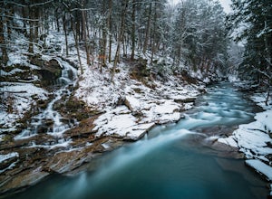
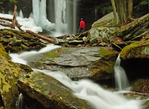
High Bridge Falls/Hoagland Branch
This beautiful photogenic spot in Loyalsock State Forest is viewable as you drive by, but be sure to stop and take some photos. The Hoagland Branch Road (gravel forest road) drives right by this scenic waterfall and waterway, you will see it while crossing on a small bridge. There is a pull off ...Read more -
Forksville, Pennsylvania
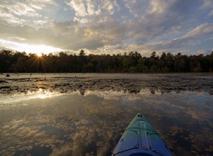
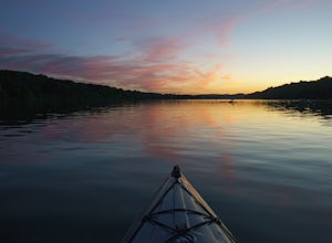
Catch a Sunset on Bear Wallow Pond
Bear Wallow Pond is classified as a 22 acre lake in Sullivan County, Pennsylvania found on some mountain roads. It is small, but still big enough to explore around and enjoy a relaxing paddle through lily pads. There is an easy access boat launch to launch your kayak or canoe and descent siz...Read more -
Muncy Valley, Pennsylvania
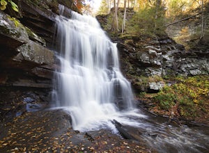
Gipson Falls
1 miGipson Falls is the other waterfall on Falls Run just off the Loyalsock Trail. There is a parking area for the Loyalsock Trail on Brunnerdale Road just off of Ogdonia Road. From the parking follow the Loyalsock Trail along the run for about .5 miles, once the Loyalsock Trail turns right and he...Read more -
Williamsport, Pennsylvania
Rough Hill Trail
1.94 mi / 663 ft gainAccess to Rough Hill Trail is easy to locate, it is the same parking as Sandy Bottom Access to the Loyalsock Creek and there is a large sign at the turn off on route 87. Once you are in the parking area, there is clear signage for the trail and it is blazed yellow initially following back past ...Read more -
McIntyre Township, Pennsylvania
Explore Rock Run
5.0Rock Run is a place that I would not turn down a chance to explore again and again. It is easy to get lost in your own thoughts reflecting on the beauty of the surroundings, swim in the always chilled waters, or get out your fishing pole and catch some trout during the season.After making your w...Read more -
Benton, Pennsylvania
Sullivan Falls
0.1 miSullivan Falls is a beautiful roughly 30 foot waterfall near Ricketts Glen State Park, but in State Game Lands Number 13. There is a large parking area with a huge stone labeled 'Sullivan Falls' and from the lot it is more of a short walk vs a hike back a trail to the top of the falls. However, t...Read more -
Montoursville, Pennsylvania
Hike to Jacoby Run Falls
4.03.3 mi / 341 ft gainThe trailhead is at a large gravel parking area off of Wallis Run Road. The trail begins on a boardwalk over a wetland that leads into hemlock forest and mixed hardwoods.The yellow blazed trail follows Jacoby Hollow at a steady slight incline and leads to the 45 foot Jacoby Falls. Best times to...Read more -
Benton, Pennsylvania
Falls Trail Loop in Ricketts Glen State Park
4.96.29 mi / 938 ft gainRicketts Glen State Park in Pennsylvania sprawls over 13,050 acres in the Luzerne, Sullivan and Columbia counties. The park boasts a lake, 21 named waterfalls, diverse wildlife and old growth timber. There are two Falls Trails alternatives – a long and short loop. The long loop is 7.2 miles long...Read more -
Williamsport, Pennsylvania
Kayak from Susquehanna State Park
This adventure can be started from the boat launch at Susquehanna State Park in Williamsport, PA. The river is slow moving and calm in this section. Since the river is slow you can easily paddle up river and then return to the same boat launch. A short round trip can be made by paddling west ...Read more -
Waterville, Pennsylvania
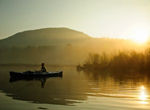
Kayak and Fish at Little Pine Lake
5.0Little Pine State Park is a beautiful park in Lycoming County, Pennsylvania near Waterville. The lake is just above the campground and dam. Follow the signs at the picnic area to the boat launch.The lake offers a variety of fishing, stocked and native trout, smallmouth bass, pickerel, sunfish, ...Read more -
Morris, Pennsylvania
Kayak or Canoe Pine Creek: Blackwell to Black Walnut Bottom
The start of this trip is at the Blackwell boat launch. Get some friends together and organize a trip, leave a car at Black Walnut Bottom for the take out. Pine Creek can be very low in summer, check this water gauge, I recommend a minimum level of 1.8 feet. Optimal would be 2.5-3.5 feet. If ...Read more -
Morris, Pennsylvania
Hike the Gillespie Point Loop
5.3 mi / 1166 ft gainFrom the Blackwell parking access at the route 414 bridge that crosses Pine Creek, walk on 414 east towards Babb's Creek. Shortly after crossing the single lane bridge over Babb's Creek, you will turn right onto Big Run Road.Follow Big Run Road for about 2 miles and when the road makes a sharp t...Read more -
Morris, Pennsylvania
Hike to Bohen Run Falls
4 miParking for this trail is at the Blackwell access area off of route 414. Then walk across the the bridge over Pine Creek and immediately hop over the guardrail to your right for the Bohen Trailhead.The beginning of the trail becomes narrow and steep for a short climb. The trail then levels off p...Read more -
Morris, Pennsylvania
Hike to Pine Island Vista
5.05.1 miThe access to this trail is from a mountain road, Clay Mine Road. From Stony Fork, follow Dibble Hill Road to Clay Mine Road, once on Clay Mine Road, follow into the forest and park at the first gravel parking area on the right. You will see the unmarked trail at the rear of the parking startin...Read more

