Tualatin, Oregon
Top Spots in and near Tualatin
-
Stevenson, Washington
Hamilton Mountain
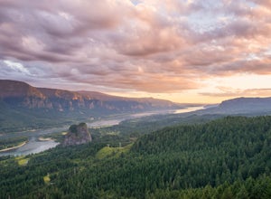
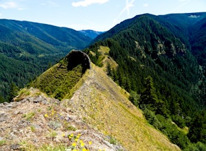
4.25.61 mi / 2336 ft gainHamilton Mountain has one of the best views in the Columbia Gorge. The hike starts out with a gradual uphill climb through an old-growth forest. After about a half-mile in you will come to a clearing where you can see the ridge line going up to the top of Hamilton Mountain. From there you'll pass...Read more -
Stevenson, Washington
Hardy and Rodney Falls
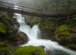
4.02.17 mi / 699 ft gainLocated along the Hamilton Mountain Trail, the Hardy and Rodney falls out and back hike is a good alternative for those looking for a shorter hike compared to the 7.6-mile hike to the top of Hamilton Mountain. From the Hamilton Mountain Trailhead, you will follow the trail through thick trees fo...Read more -
Cascade Locks, Oregon
Elowah Falls
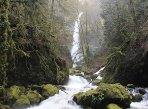
4.81.36 mi / 512 ft gainMultnomah Falls, which is about 5 miles from Elowah [along the Historic Columbia River Highway] takes a large portion of the crowd due to its visibility from the highway. With that said, you may get a much more deserted Elowah Falls if you decide to take the short but steep 15-minute hike to it...Read more -
Cascade Locks, Oregon
Upper McCord Creek Falls
4.71.98 mi / 617 ft gainStarting at the John B Yeon Trailhead parking lot, begin to walk into the forest. After a little more than a quarter mile, you will see a fork in the road, with one way leading to Elowah Falls, and the other way leading to Upper McCord Creek Falls. Take the trail leading to Upper McCord Creek. Th...Read more -
Stayton, Oregon
Shellburg Falls
3.23.7 mi / 520 ft gainThis hike is currently closed due to fire damage. Please check the Oregon.gov website or the call the Oregon Department of Forestry (503-859-4344) for updates. The hike, including the initial 1.25 mile gravel road to the trailhead, is easy to complete within 1-2 hours and only requires a modera...Read more -
Rhododendron, Oregon
Frustration Falls
3.08.26 mi / 1854 ft gainThe hike and possible rappel to Frustration Falls begins at the Salmon River trailhead right outside of Welches, Oregon. From the trailhead you follow the trail for about 4 miles at which point you reach Canyon View (Shown in pictures 5-6 above). From the main trail this is the only view of Frust...Read more -
Clackamas County, Oregon
Salmon River Trail
4.54.4 mi / 50 ft gainLargely Flat Trail4.4 Miles roundtripOld Growth ForestRiver Scouting Opportunities There are seven trailheads all off to the right of E. Salmon River Road. All are easily accessible under normal conditions. The hike meanders alongside the river, providing ample opportunities to scout the river's...Read more -
Tillamook, Oregon
Fly Fish the Wilson River in Oregon
3.0Driving from Portland, Oregon west towards Tillamook, Oregon this is an easy bank access river to hit with big fish. Approximately 45 - 60 minutes drive from Portland to Highway 6 west towards Tillamook, the rivers runs next to the highway for several miles making it easy to pull-off and hit the ...Read more -
Clackamas County, Oregon
Bagby Hot Springs
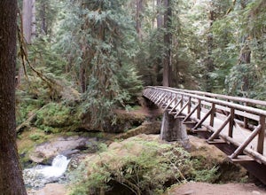
4.32.91 mi / 397 ft gainBagby Hot Springs is actually a set of amazing bathhouses nestled in the forest outside of Estacada. They are one of Oregon’s most poplar hot springs, and for good reason. The hike into the hot springs is easy and quite scenic. You’ll cross a bridge over Nohorn Creek and follow the Hot Springs Fo...Read more -
North Bonneville, Washington
Table Mountain via Aldrich Butte Trailhead
4.716 mi / 3350 ft gainHike up into the forest (take the right path, not the one going left), and follow it all the way until you get to "Carpenter Lake" (which always seems to be just an empty, marshy field). Keep going and do not take the right path at the first Y split off. Instead, stay left, until you come to anot...Read more -
Cascade Locks, Oregon
Wahclella Falls
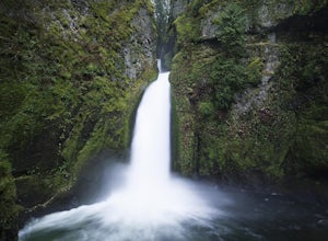
4.71.74 mi / 410 ft gainThis is a very short and fairly easy, 1 mile in – 1 mile out, hike with a little bit of elevation gain. I took my time hiking and enjoying the scenery with the intention of this being a photo heavy trip. When I got to the end I spent at least an hour shooting from every angle I saw fit. Once you ...Read more -
Cascade Locks, Oregon
Munra Point
4.94.12 mi / 1870 ft gainThis trail is temporarily closed. Please visit the Forest Service website for updates to trails in the Columbia River Gorge. This hike starts at the Wahclella Falls trailhead, but does not use that trail. Instead, walk back towards the freeway and take a left onto the Columbia River Highway Tr...Read more -
Cascade Locks, Oregon
Snow Hike to Wahclella Falls
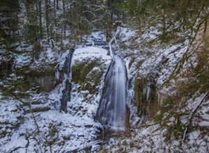
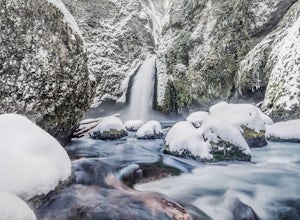
4.02 miThe wooden bridges, Munra Falls, beautiful canyon walls, and the mossy grotto at the end of the canyon itself would be enough of a draw for this hike, but you round the last corner and 65 foot Wahclella Falls comes in full view.The big snow covered river rocks looked like giant marshmallows, and ...Read more -
Lyons, Oregon
Henline Falls Trail
5.01.71 mi / 312 ft gainThe trail is a washed out, old mining road making its way through a lush forest with a mix of ferns, moss covered trees, and towering Douglas Firs with trees blown over from wind storms lining both sides of the trail. I call those Big Foot traps. The trail comes to a fork, stay to the left you ar...Read more -
Stevenson, Washington
Three Corner Rock
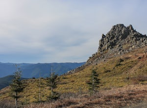
4.03.86 mi / 1093 ft gainFrom the Rock Creek Pass Trailhead, begin the short hike to Three Corner Rock by heading south on the Pacific Crest Trail from its crossing of Road CG 2090. After a steady 1.5-mile climb of roughly 600 feet, look for a large fallen sign marking the junction to Three Corner Rock. Shortly after, an...Read more -
Beaver, Oregon
Hike to Niagara Falls, OR
4.04 mi / 800 ft gainGetting There Get onto Highway 101. Between Tillamook and Lincoln City at the town of Beaver, turn east near mile marker 80 onto a paved road toward upper Nestucca River. Follow this scenic road 6.7 miles to the town of Blaine. Stay to the right and drive another 4.8 miles; between mile markers 1...Read more

