Tualatin, Oregon
Looking for the best chillin in Tualatin? We've got you covered with the top trails, trips, hiking, backpacking, camping and more around Tualatin. The detailed guides, photos, and reviews are all submitted by the Outbound community.
Top Chillin Spots in and near Tualatin
-
Sandy, Oregon
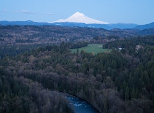
Photograph Jonsrud Viewpoint
4.5The view from this spot is definitely worth the drive, if you're visiting Portland or the Columbia River Gorge area I highly recommend taking the time to stop here. Not a lot of people know about this spot and its likely you'll be the only person/people there!If you get the chance, definitely com...Read more -
McMinnville, Oregon
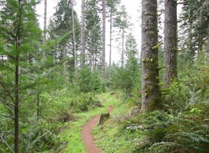
Hike the Red Trail in Miller Woods
4.04 mi / 400 ft gainLocated three miles west of McMinnville and available for public hiking and activities, Miller Woods is owned and operated by Yamhill SWCD. You may choose different trails to take.From the parking lot the trails are marked by colors to go on the 4.0 mile loop go to the meadow and follow the red m...Read more -
Portland, Oregon
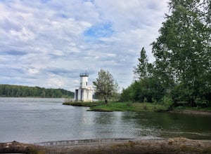
Warrior Rock Lighthouse
4.06.04 mi / 148 ft gainThis is a perfect easy hike close to Portland on Sauvie Island that offers more than just a walk through a forest. At the end of the 3 mile trail is a long secluded beach and the Warrior Rock Lighthouse. This has become one of my favorite go-to runs on a summer weeknight evening or for a quieter ...Read more -
Corbett, Oregon
Hike to Upper Bridal Veil Falls
5.00.5 miAt the parking lot for Angel's Rest, turn left uphill on to Palmer Mill Road. Drive for about a mile, and park right past a tributary stream/small waterfall (pictured above) on your left that flows through a small pipe under the road. You will see a small space to park on the right. Park here and...Read more -
Gaston, Oregon
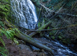
University Falls
4.00.61 mi / 138 ft gainThe 0.3 mile hike to University Falls seems longer than it is because you'll be stopping to take pictures every step of the way. No, you're not in an enchanted forest, you're in the Tillamook National Forest. The waterfall you're about to find, however, certainly is enchanting. From Portland, he...Read more -
Silverton, Oregon
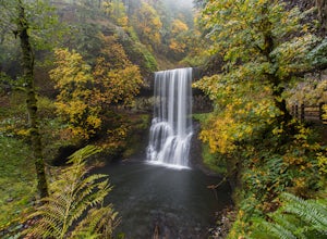
Camp in Silver Falls State Park
4.68.7 mi / 1300 ft gainIf you're thinking of hiking the Trail of Ten Falls Loop and staying overnight, there are 42 tent campsites (available from April – Oct) as well as 14 rustic cabins. With multiple beds, heat, electricity, a covered porch, and a small fridge, they provide the perfect respite after a long day of ex...Read more -
Washougal, Washington
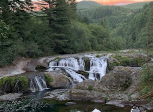
Dougan Falls
3.5Does camping right next to an epic swimming hole sound like a pretty good way to spend a hot summer weekend? If so, you need to add Dougan Creek Campground to your list of weekend getaways. The Dougan Falls area of the Washougal River is packed with at least a dozen deep swimming holes, but the ...Read more -
Washougal, Washington
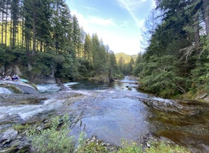
Naked Falls
5.0The family friendly Naked Falls is just 20 minutes outside of Camas, Washington. It is a great introduction to kids of the great Pacific Northwest. It is also a great reminder for cliff jumpers that there are still great spots that aren’t too far from home. A $12 fee per car is required for parki...Read more -
Clackamas County, Oregon
Tumala (Squaw) Mountain
4.74.51 mi / 1099 ft gainOn a clear day, this short, secluded hike offers breath-taking views of Mt. St. Helens, Mt. Rainier, Mt. Adams, Mt. Hood, and Mt. Jefferson, as well as of downtown Portland, Coast Range, and the Roaring River Wilderness. Begin the hike from the Twin Springs Trailhead and immediately take your fi...Read more -
Estacada, Oregon
Raft the Wild and Scenic Clackamas River
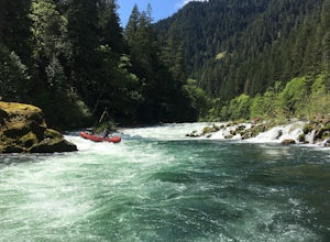
5.0The Wild and Scenic Clackamas River above the North Fork Reservoir is a great destination for paddlers and only about an hour drive from downtown Portland. This popular 13.5 mile section of river lies within the Mt. Hood National Forest and offers continuous class II-III boating with a little cla...Read more -
Woodland, Washington
Explore the Cedar Grist Mill
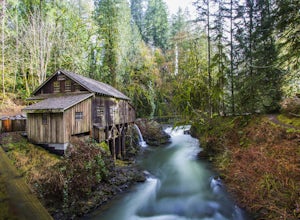
3.6After parking in the lot near the mill, walk across the bridge. This is the first good viewpoint for photography. Next, I recommend walking under the bridge, this is my favorite spot for taking photos. The whole area is free to walk around, you can even walk in the mill and then walk up stream do...Read more -
Cascade Locks, Oregon
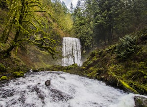
Upper McCord Creek Falls
4.71.98 mi / 617 ft gainStarting at the John B Yeon Trailhead parking lot, begin to walk into the forest. After a little more than a quarter mile, you will see a fork in the road, with one way leading to Elowah Falls, and the other way leading to Upper McCord Creek Falls. Take the trail leading to Upper McCord Creek. Th...Read more -
Rhododendron, Oregon
Frustration Falls
3.08.26 mi / 1854 ft gainThe hike and possible rappel to Frustration Falls begins at the Salmon River trailhead right outside of Welches, Oregon. From the trailhead you follow the trail for about 4 miles at which point you reach Canyon View (Shown in pictures 5-6 above). From the main trail this is the only view of Frust...Read more -
Clackamas County, Oregon
Bagby Hot Springs
4.32.91 mi / 397 ft gainBagby Hot Springs is actually a set of amazing bathhouses nestled in the forest outside of Estacada. They are one of Oregon’s most poplar hot springs, and for good reason. The hike into the hot springs is easy and quite scenic. You’ll cross a bridge over Nohorn Creek and follow the Hot Springs Fo...Read more -
Lyons, Oregon
Henline Falls Trail
5.01.71 mi / 312 ft gainThe trail is a washed out, old mining road making its way through a lush forest with a mix of ferns, moss covered trees, and towering Douglas Firs with trees blown over from wind storms lining both sides of the trail. I call those Big Foot traps. The trail comes to a fork, stay to the left you ar...Read more -
Stevenson, Washington
Three Corner Rock
4.03.86 mi / 1093 ft gainFrom the Rock Creek Pass Trailhead, begin the short hike to Three Corner Rock by heading south on the Pacific Crest Trail from its crossing of Road CG 2090. After a steady 1.5-mile climb of roughly 600 feet, look for a large fallen sign marking the junction to Three Corner Rock. Shortly after, an...Read more

