Sweet Home, Oregon
Top Spots in and near Sweet Home
-
Lane County, Oregon
Belknap Hot Springs
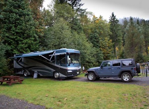
4.5This is a popular, family friendly spot, complete with two pools, indoor lodging, RV and tent camping, and hiking trails. The pools are kept at 185-195 degrees, with the smaller of the two being reserved for overnighters only. Day visitors are charged an hourly fee.Read more -
Linn County, Oregon
Coffin Mountain Fire Lookout
5.02.67 mi / 873 ft gainCoffin Mountain Fire Lookout is a beautiful day hike that takes you to its summit at 5771 feet elevation, covering roughly 1070 feet elevation gain. To get to the Coffin Mt. trailhead from Detroit OR, travel east on Highway 22 for approximately 19.5 miles to Forest Road 11 (Straight Creek Road)....Read more -
Lyons, Oregon
Swim at Three Pools
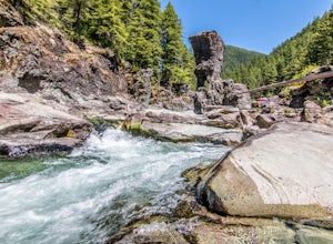
5.0To get there from Salem, Follow Hwy. 22 east to Mehama. Turn on Little North Santiam Road (FS 2209) and proceed for 12 miles to Three Pools Day Use Area. Three Pools is by far one of the most popular swimming holes in the Northwest. With multiple swimming holes within just feet from one another i...Read more -
Lyons, Oregon
Henline Falls Trail
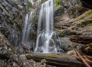
5.01.71 mi / 312 ft gainThe trail is a washed out, old mining road making its way through a lush forest with a mix of ferns, moss covered trees, and towering Douglas Firs with trees blown over from wind storms lining both sides of the trail. I call those Big Foot traps. The trail comes to a fork, stay to the left you ar...Read more -
Monroe, Oregon
Alsea Falls and Green Peak Falls
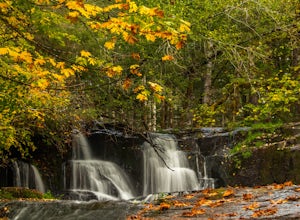
4.32.4 mi / 269 ft gainThis is a great and easy day hike that features two waterfalls - Alsea Falls and Green Peak Falls - amid beautiful Oregon Coast Range scenery. This hike is perfect for a family trip as the trail is dog-friendly, the Alsea River serves as a swimming hole on hot days, and there is a picnic area jus...Read more -
Sisters, Oregon
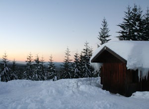
Snowshoe to the Mountain View Shelter
5.04 mi / 500 ft gainA short hike from the sno-park, the snow shelter is within an hour's reach of the trailhead. Make sure to print a trail map of the area's routes ahead of time, or take a picture of the map provided in the parking lot, as the network of trails can get you a little lost.From the parking lot, make s...Read more -
Scotts Mills, Oregon
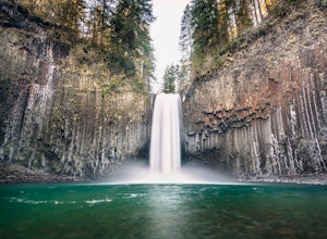
Abiqua Falls
4.90.69 mi / 115 ft gainThis trail is unmarked and a little rough and rugged. The land is privately owned by Mount Angel Abbey, but they don't appear to have problems with courteous hikers. Walking out of the parking area back up the road in the direction you came from, you’ll pass one dirt trail right at the ending of ...Read more -
Scotts Mills, Oregon
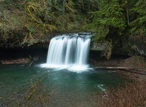
Upper Butte Creek Falls
4.00.73 mi / 308 ft gainFrom Scott Mills Follow Crooked Finger RD NE for 13.3 Miles to the Upper Butte Creek Trailhead. The last 2-3 miles or so is gravel road with some potholes but most cars shouldn't have a problem. The path down to the falls starts near the bathrooms. A short .3 mile walk on a few switchbacks and...Read more -
Sisters, Oregon
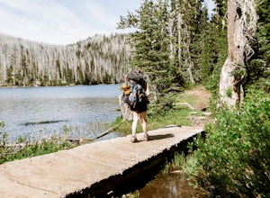
Backpack to Santiam Lake via Duffy Lake Trailhead
9.94 mi / 1362 ft gainYou start by weaving through an old-growth forest, gaining a little elevation, appreciating the shade, before you come up out and into the alpine forest the majority of the hike will take place in. You will quickly reach your first of many intersections within ~.1 mile into the trail. Be sure t...Read more -
Sisters, Oregon
Duffy Lake Trail
6.92 mi / 869 ft gainDuffy Lake Trail is an out-and-back trail that takes you by a lake located near Idanha, Oregon.Read more -
Lyons, Oregon
Cedar Flat and Kopetski Trail Loop
9.62 mi / 958 ft gainOn Saturday, I slid into the backseat alongside weekend belongings crammed in the car trunk. Backpacks with patches and streaks of dust. Bags of food that could be cooked over the flames of a fire. We drove south on the 5, leaving Portland and crossing through Salem, as Lake Street Dive albums p...Read more -
Gates, Oregon
Opal Creek Pools Loop
4.66.6 mi / 663 ft gainNote: this trail is closed due to fire damage. For more updates, please visit the Forest Service website. The Opal Creek pools are a wonderful place to visit year-round, but they’re a true oasis on a hot summer day. With a variety of rock outcroppings and ledges to jump off of, and plenty of ro...Read more -
Salem, Oregon
Minto-Brown Island Park
7.3 mi / 492 ft gainMinto-Brown Island Park Tail is a loop trail that takes you by a lake located near Salem, Oregon.Read more -
Salem, Oregon
Bridge and Orchard
3.26 mi / 220 ft gainBridge and Orchard is a loop trail that takes you by a lake located near Salem, Oregon.Read more -
Lowell, Oregon
Mount June Trail
5.02.21 mi / 833 ft gainMount June Trail in Lowell, Oregon, is a moderate difficulty hiking trail that stretches for 2.21 miles. The trail is known for its steep inclines and rocky terrain, making it a challenging yet rewarding hike. The trailhead is located off of Lost Creek Road, with a small parking area available fo...Read more -
Detroit, Oregon
Battle Ax Mountain
5.05.09 mi / 1594 ft gainWith no officially marked trailhead, this hike begins slightly west of Elk Lake in Marion County. Take Highway 22 to Detroit, OR. East of the bridge over Breitenbush River, turn onto (FR) Forest Road 46, with signs pointing to Breitenbush River. After 4.5 miles turn left at a sign for Elk Lake, a...Read more

