Sweet Home, Oregon
Top Spots in and near Sweet Home
-
Corvallis, Oregon
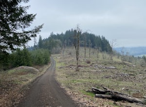
420, 300, and 400 Trails Loop
4.06.64 mi / 1043 ft gain420, 300, and 400 Trails Loop is a loop trail that takes you through a nice forest located near Corvallis, Oregon.Read more -
Lane County, Oregon
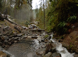
Terwilliger (Cougar) Hot Springs
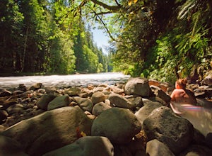
4.20.9 mi / 249 ft gainSoaking in Terwilliger (otherwise known as "Cougar") hot springs is a great way to relax and wind back while exploring the Cascades. A spring flows from a small cave and cascades into multiple pools leading down a small gully, creating pools which have varying temperatures from hot (closer to the...Read more -
Corvallis, Oregon
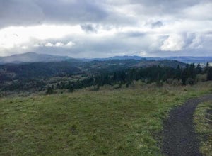
Hike the Fitton Green Natural Area Trail
5.05 mi / 1190 ft gainThis is a moderately trafficked trail near Corvallis, OR. It is great for rainy days as much of the trail is paved or has gravel. It is a popular spot for mountain bikers and hikers alike. Some parts of the trail have little shade. There are amazing views of the tall grassy hills and the town...Read more -
Eugene, Oregon
Wild Iris Ridge Loop from Summit Sky Boulevard
5.01.58 mi / 220 ft gainWild Iris Ridge Loop from Summit Sky Boulevard is a loop trail where you may see beautiful wildflowers located near Eugene, Oregon.Read more -
Drake Crossing, Oregon
Trail of Ten Falls Loop
4.77.16 mi / 1178 ft gainThe unique feature of South Falls, Lower South Falls, and Middle North Falls are the paths that pass behind the falls providing an amazing visual and auditory experience; however, be sure to have a good bag for your equipment to avoid water damage and a decent jacket (preferably water-resistant)....Read more -
Silverton, Oregon
Camp in Silver Falls State Park
4.68.7 mi / 1300 ft gainIf you're thinking of hiking the Trail of Ten Falls Loop and staying overnight, there are 42 tent campsites (available from April – Oct) as well as 14 rustic cabins. With multiple beds, heat, electricity, a covered porch, and a small fridge, they provide the perfect respite after a long day of ex...Read more -
Foster, Oregon
Hike the Middle Pyramid
4.5The Three Pyramids, half as tall as the better-known Three Sisters, are beautiful U-shaped glacial valleys, remnants of the Ice Age.To reach the top of Middle Pyramid, leave from the #3380 trailhead at the west end of the parking area. Early on there is a creek crossing (the bridge was still wash...Read more -
Eugene, Oregon
Spencer Butte Loop
4.51.6 mi / 564 ft gainGetting There Searching Spencer Butte Trailhead Parking Lot on Google Maps will direct you to exactly where you need to go. From downtown Eugene/ UO you'll drive south on Willamette St. until you see an official park sign for Spencer Butte Park. Take a left on the gated road (will be locked duri...Read more -
Gates, Oregon
Natural Rock Arch
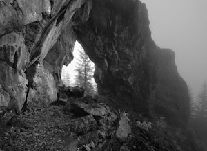
5.00.68 mi / 449 ft gainThe Santiam Forest is well known for its many beautiful spots, but this one is fairly uncommon. It's likely you will be the only person out here. Since it's such a short hike, just about a mile round trip, you could easily make it a pit stop on your way to or from someplace else and not have to w...Read more -
Lane County, Oregon
Bigelow Hot Springs
2.0Unlike many other springs you'll find, this pool has basically no barriers to entry – it is accessible via a short hike, has no fee, and is available year-round. While the temperature is less than 100 degrees, the scenic surroundings make up for the slightly less than hot water.Read more -
Detroit, Oregon
Dome Rock via the Upper Trailhead
2.36 mi / 479 ft gainFrom Highway 22 at the Breitenbush River Bridge, in Detroit, turn north on to French Creek Rd. Drive up French Creek about 7.7 miles to the Upper TH #3379/3381 to Dome Rock and Tumble Lake. The trail can be found on the left side of the road and is easily seen after you pass it. It's best to pass...Read more -
Linn County, Oregon
Tamolitch Blue Pool
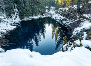
5.03.56 mi / 253 ft gainThe hike out to Tamolitch Pool, or "Blue Pool," is 2 miles each way and follows the McKenzie River to a lava flow pool. Off Highway 126 14 miles east of McKenzie Bridge, turning into the Trailbridge Campground, drive right 1/3 of a mile to the trailhead. The trail is relatively flat, which gives ...Read more -
Linn County, Oregon
Mountain Bike the McKenzie River Trail
26 mi / -2200 ft gainMountain biking the McKenzie River Trail should be on every serious mountain biker's to-do list, since this trail has repeatedly been cited as the best mountain biking in the United States. The whole trail is an all-day, 26 mile epic, losing 2200 feet of elevation as it parallels the McKenzie Ri...Read more -
Sisters, Oregon
Hike around Clear Lake
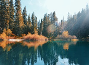
4.74 miOnce you arrive at Clear Lake, I suggest to start the relatively flat hike around the lake. You'll walk through a beautiful forest with peek-a-boo views of the stunning lake. The hike around the full lake may take a few hours, so if you're not staying the night, make sure you have enough time to ...Read more -
Linn County, Oregon
Koosah Falls Trail
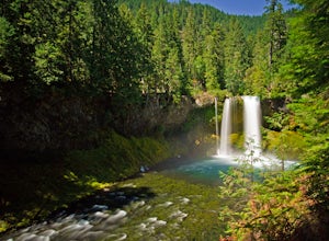
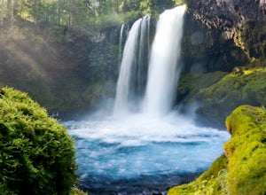
5.00.86 mi / 180 ft gainKoosah Falls Trail is an out-and-back trail that takes you by a waterfall located near Sisters, Oregon.Read more -
Sisters, Oregon
Sahalie and Koosah Falls Loop
4.82.42 mi / 545 ft gainThis loop might be on the shorter side, but the hike is more than worth it for the scenery. Start at Sahalie Falls, a 100-foot tall waterfall pouring into the river below and covering the moss-covered valley with cool mist. Continue down the trail, walking past the 70-foot Koosah Falls, and finis...Read more

