Sunriver, Oregon
Looking for the best hiking in Sunriver? We've got you covered with the top trails, trips, hiking, backpacking, camping and more around Sunriver. The detailed guides, photos, and reviews are all submitted by the Outbound community.
Top Hiking Spots in and near Sunriver
-
Bend, Oregon
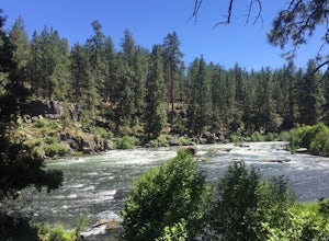
Bike or Hike The Deschutes River Trail
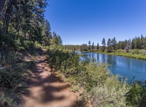
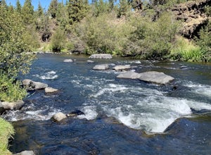
22 mi / 1280 ft gainThe Deschutes River Trail is a must do mountain bike ride or hike in between Sunriver and Bend, Oregon. The river varies from calm water to waterfalls. The trail follows along the river and goes through pine forests, meadows, and lava flows. Most of the single track is smooth with a few more tech...Read more -
Bend, Oregon
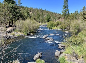
Deschutes River Trail: Benham Falls to Slough Meadow
5.04.51 mi / 364 ft gainDeschutes River Trail: Benham Falls to Slough Meadow is an out-and-back trail that takes you by a river located near Bend, Oregon.Read more -
Bend, Oregon
Explore the Lava River Cave
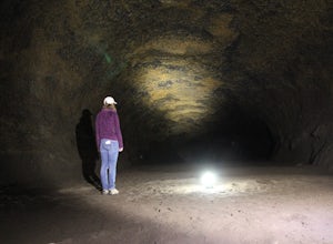
5.0Located just 12 miles South of Bend and 5 miles Northeast of Sunriver in the Deschutes National Forest, the Lava River Cave is a unique experience the whole family can enjoy. To get there from Bend, drive South on Highway 97 for about 10 miles until you see a large sign for the Lava Lands Visitor...Read more -
Bend, Oregon
Deschutes River Trail: Lava Island Trailhead to Benham Falls
13.13 mi / 673 ft gainDeschutes River Trail: Lava Island Trailhead to Benham Falls is an out-and-back trail that takes you by a river located near La Pine, Oregon.Read more -
Bend, Oregon
Deschutes River Trail: Meadow Day Use Area
5.06.6 mi / 279 ft gainDeschutes River Trail: Meadow Day Use Area is an out-and-back trail that takes you by a river located near Bend, Oregon.Read more -
Bend, Oregon
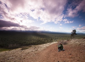
Hike Bessie Butte
4.41.5 mi / 500 ft gainJust a mere 15 minutes outside of Bend, Oregon the Bessie Butte Trail is a wonderfully scenic hike to overlook Bend on one side and the Deschutes National Forest on the other. The butte provides an excellent view of the surrounding mountains of which there are many: Mount Bachelor, The South Sist...Read more -
Bend, Oregon
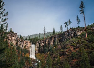
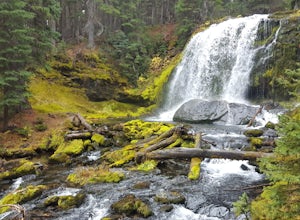
Tumalo Falls and Double Falls
5.02.01 mi / 318 ft gainTumalo Falls and Double Falls is an out-and-back trail that takes you by two stunning waterfalls located near Bend, Oregon. This trail is dog friendly on-leash.Read more -
Bend, Oregon
Tumalo Falls Loop
6.87 mi / 1237 ft gainTumalo Falls Loop is a loop trail with stunning scenery including the adventure titled, Tumalo Falls. This trail is located near Bend, Oregon.Read more -
Bend, Oregon
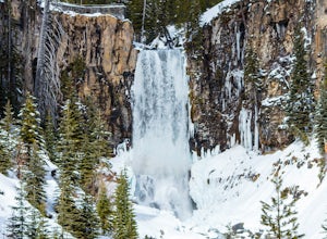
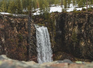
Tumalo Falls
4.40.42 mi / 62 ft gainThe viewpoint is only footsteps from the parking area, and gives the best view of the 89-foot falls. A half mile trail leads visitors up to the upper viewpoint, right next to the falls. From there, Middle Tumalo Falls is around one and a quarter miles up the trail and Happy Valley is around three...Read more -
Bend, Oregon
Tumalo Creek Loop
5.09.79 mi / 1437 ft gainThis Loop begins at the Tumalo Falls View Point; however, the trail continues for another 3 miles. Although the first waterfall is certainly spectacular, this creek has cascading falls about every half mile. These water falls are indicative of the famous geology in the Three Sisters Wilderness....Read more -
Bend, Oregon
Deschutes River Trail Loop
4.73.18 mi / 203 ft gainThere are quite a few urban trails along the Deschutes River, but my favorite runs just South of the Old Mill District near the Farewell Bend Park. Here you will find a gravel loop trail that is private and relaxing, but also very convenient to other amenities such as restrooms, shops, and resta...Read more -
Bend, Oregon
Deschutes River Loop via Farewell Bend Park
1.14 mi / 62 ft gainDeschutes River Loop via Farewell Bend Park is a loop trail that takes you by a river located near Bend, Oregon.Read more -
Bend, Oregon
Boyd Cave
5.00.69 mi / 66 ft gainLocated 20 miles southeast of Bend, Boyd Cave is a well preserved lava tube stretching close to a mile. To get there, take Highway 97 South through Bend and turn left on China Hat Road. Go straight for exactly 9 miles. Turn left at mile 9 onto the trail at FS242. You will know it has been 9 miles...Read more -
Bend, Oregon
Hike the Fall River Trail
5.9 mi / 101 ft gainThe Fall River Trail follows meanders through an old growth ponderosa pine forest along the banks of the Fall River. There are several pull-out parking spots along Forest Service Road 42 but probably the easiest is to start at the Fall River Campground day-use area. The day-use area has pit toile...Read more -
Bend, Oregon
Hike Mt. Bachelor Sunrise to Summit
4.56 mi / 2615 ft gainThe Sunrise to Summit Trail on Mt. Bachelor is the easiest and most straightforward way for peakbaggers to reach the summit of one of Central Oregon’s classic volcano climbs. The top boasts views of Broken Top, the Three Sisters, and even Mt. Jefferson beyond. Mt. Bachelor’s official Sunrise to S...Read more -
Bend, Oregon
Tumalo Mountain Trail
4.6There is an official trail to the summit that begins just North of the Dutchman Flat Sno-Park parking area. The trail is signed and states 1.5 miles to the summit. When there is snow on the ground, you will not see the the official trail. You will need snowshoes or skins, but you just head straig...Read more

