Sunriver, Oregon
Looking for the best hiking in Sunriver? We've got you covered with the top trails, trips, hiking, backpacking, camping and more around Sunriver. The detailed guides, photos, and reviews are all submitted by the Outbound community.
Top Hiking Spots in and near Sunriver
-
Terrebonne, Oregon
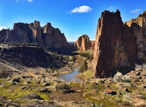
Summit Trail Loop at Smith Rock
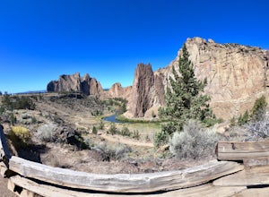
4.66.87 mi / 1506 ft gainSmith Rock State Park is an iconic PNW canyon that's become one of the rock climbing capitals of the country, and known worldwide for its sport climbing routes. And while climbing draws crowds year-round, adventurers also visit for its trail system boasting sweeping Central Oregon volcano views. ...Read more -
Terrebonne, Oregon
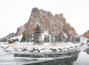
Snow Camp at Smith Rock
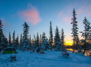
5.03 mi / 350 ft gainJust 140 miles southeast of Portland, and 27 miles north of Bend, lies a clustering of rocks more prominently referred to as Smith Rock.This intricate rock formation is a mecca for climbers during the warm summer months, however the landmark unveils a new face during the snowy season that few eve...Read more -
Terrebonne, Oregon
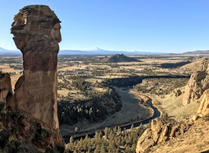
Misery Ridge Trail
5.02.58 mi / 919 ft gainMisery Ridge Trail is an out-and-back trail that takes you past scenic surroundings located near Terrebonne, Oregon.Read more -
Terrebonne, Oregon
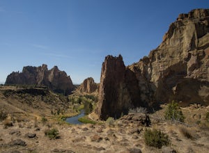
Canyon Trail and Homestead Trail
2.38 mi / 466 ft gainCanyon Trail and Homestead Trail is an out-and-back trail that takes you by a river located near Terrebonne, Oregon.Read more -
Camp Sherman, Oregon
Black Butte
4.53.94 mi / 1493 ft gainJust outside of Sisters Oregon is the stunning and popular day hike to the summit Black Butte (Elevation 6,436 feet). At the top, spectacular views of the surrounding Cascades await the intrepid hiker. To get to the trailhead, turn off of Highway 22 onto National Forest Road (NFR) 11, also known...Read more -
Crescent, Oregon
Diamond View Lake via Trapper Creek
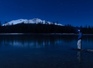
9.88 mi / 1070 ft gainDiamond View Lake is relatively unknown compared to many of the other lakes in the Oregon Cascades, yet the views it delivers of Diamond Peak are top-notch. While it can also be done as a summer backpack, winter brings out the best aspects of the scenery - low-angle light on Diamond Peak, long n...Read more -
Terrebonne, Oregon
North Point Loop
5.00.43 mi / 13 ft gainNorth Point Loop is a loop trail that takes you by a river located near Terrebonne, Oregon.Read more -
Terrebonne, Oregon
Hike to Steelhead Falls
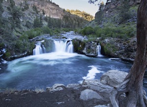
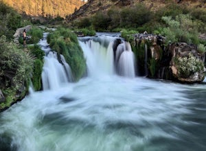
4.81 mi / 120 ft gainFollowing along the Dechutes river for half a mile you will see where the river progressively gets more aggressive. On both sides of the trail you will see beautiful mountain inclines and jagged cliffs. If your lucky you might just see a bald eagle soaring high above! Along with Steel Head being ...Read more -
Terrebonne, Oregon
Steelhead Falls
1.98 mi / 148 ft gainSteelhead Falls is an out-and-back trail that takes you by a waterfall located near Terrebonne, Oregon.Read more -
Cascade Summit, Oregon
Diamond Creek Falls
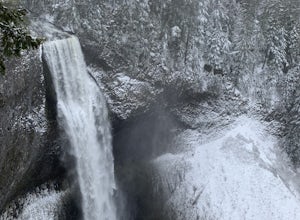
5.02.92 mi / 443 ft gainThe beginning of this trail starts at the parking lot of Salt Creek Falls, right off of the 58 freeway. During the winter months, there's a gate blocking the road to the parking lot. You can park at the gate and it's a 0.6 mile walk to the beginning of the Salt Creek Falls trailhead. If you haven...Read more -
Fort Rock, Oregon
Explore Fort Rock State Park
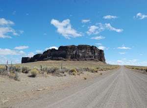
4.5There's a great beginners hike inside the rock crater itself, and if you drive on the dirt road on the south side of the rock you can get to some great vista points and photography spots.This is great during the day or night (amazing starry views on clear nights), and you can get here any time of...Read more -
Sisters, Oregon
Suttle Lake Loop
5.03.66 mi / 128 ft gainBeginning at the Suttle Lake Lodge just off Highway 20, the Suttle Lake Loop follows a wide dirt path that circumnavigates the entire lake. Hug the lake whenever the trail opens up to camping areas or pavement - it's nearly impossible to become lost on this track. Pass campsites, kayakers, and r...Read more -
Sisters, Oregon
Camp at Big Lake
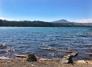
The crystal clear waters of Big Lake sit at an elevation of 4,600 ft. in the Willamette National Forest, on the western slopes of the Cascade Mountain Range. The Big Lake Campground (N 44 22.439 W 121 53.599) lies on the western shore of Big Lake, at the top of the Santiam Pass near Hoodoo Ski Re...Read more -
Linn County, Oregon
Tamolitch Blue Pool
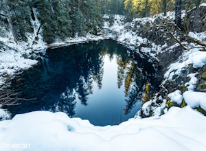
5.03.56 mi / 253 ft gainThe hike out to Tamolitch Pool, or "Blue Pool," is 2 miles each way and follows the McKenzie River to a lava flow pool. Off Highway 126 14 miles east of McKenzie Bridge, turning into the Trailbridge Campground, drive right 1/3 of a mile to the trailhead. The trail is relatively flat, which gives ...Read more -
Lane County, Oregon
Terwilliger (Cougar) Hot Springs
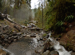
4.20.9 mi / 249 ft gainSoaking in Terwilliger (otherwise known as "Cougar") hot springs is a great way to relax and wind back while exploring the Cascades. A spring flows from a small cave and cascades into multiple pools leading down a small gully, creating pools which have varying temperatures from hot (closer to the...Read more -
Sisters, Oregon
Sahalie and Koosah Falls Loop
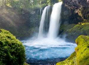
4.82.42 mi / 545 ft gainThis loop might be on the shorter side, but the hike is more than worth it for the scenery. Start at Sahalie Falls, a 100-foot tall waterfall pouring into the river below and covering the moss-covered valley with cool mist. Continue down the trail, walking past the 70-foot Koosah Falls, and finis...Read more

