Silverton, Oregon
Top Spots in and near Silverton
-
Portland, Oregon
Explore Cathedral Park
4.5Located right underneath the St Johns Bridge, Cathedral Park is hard to miss. It was given its name due to the Gothic looking arches that sit above the park.This is one of my personal favorite places to photograph especially if you enjoy photographing bridges. This park can be crowded or have eve...Read more -
Foster, Oregon
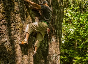
Bouldering on the Siren
This boulder is to the right of Garden Variety...if you know then you know.An excellent problem with a lot of movement. Works up the stand alone prow near Garden Variety. Start low and heal out right on a good ledge. From there work up to the inverted V pinch and left to the arete. From there it ...Read more -
Clackamas County, Oregon
Tumala (Squaw) Mountain
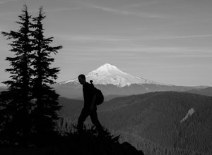
4.74.51 mi / 1099 ft gainOn a clear day, this short, secluded hike offers breath-taking views of Mt. St. Helens, Mt. Rainier, Mt. Adams, Mt. Hood, and Mt. Jefferson, as well as of downtown Portland, Coast Range, and the Roaring River Wilderness. Begin the hike from the Twin Springs Trailhead and immediately take your fi...Read more -
Portland, Oregon
A Quick Escape to Sauvie Island
3.5During those summer days when you’re desperately seeking some sand between your toes, open space to soak up the sun, and nature to play around in…Sauvie Island is calling your name. Located just 10 miles outside of downtown Portland, Sauvie Island offers a convenient rural escape that’s just begg...Read more -
Beaver, Oregon
Hike to Pheasant Creek Falls
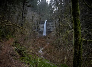
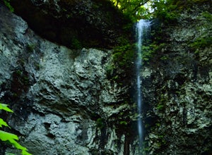
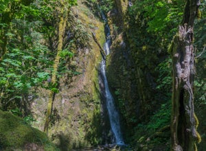
4.04 mi / 800 ft gainHike: The hike to Pheasant Creek Falls is just short continuation of nearby Niagara Falls. After reaching Niagara Falls, continue on the trail for about another 300 feet and you'll reach the more impressive, Pheasant Creek Falls.For more detailed information including a trail map and directions ...Read more -
Beaver, Oregon
Hike to Niagara Falls, OR
4.04 mi / 800 ft gainGetting There Get onto Highway 101. Between Tillamook and Lincoln City at the town of Beaver, turn east near mile marker 80 onto a paved road toward upper Nestucca River. Follow this scenic road 6.7 miles to the town of Blaine. Stay to the right and drive another 4.8 miles; between mile markers 1...Read more -
Cascadia, Oregon
Hike to Soda Creek Falls
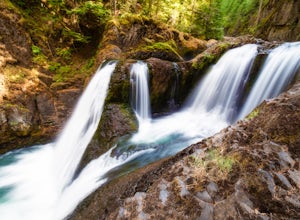
5.01.5 mi / 370 ft gainSoda Creek Falls flows 150 feet down a curvy basalt rock groove at Cascadia State Park. The trail follows Soda Creek through a lush Oregon rain forest. The site was a former hotel and health spa with the mineral water from the creek as the main attraction. The park has a small campground, and pic...Read more -
Camas, Washington
Run the Round Lake Loop at Lacamas Park
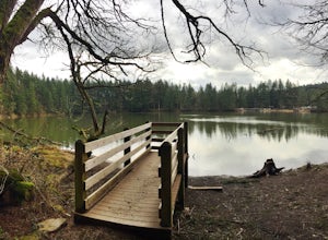
4.26.3 mi / 710 ft gainThis trail is a great option for people who want to escape the city, without actually leaving. Lacamas Park is located right downtown Camas, Washington and offers over six miles of dirt trails popular for cyclists, pedestrians, and runners.Park off of 3rd avenue at the Lacamas Creek Trailhead to ...Read more -
Camas, Washington
Explore Camas Pothole Falls
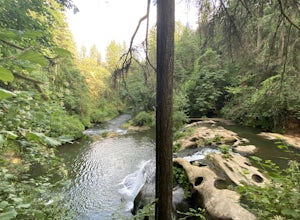
4.00.5 mi / 0 ft gainThis is on the Round Lake Loop trail and there’s a free parking area. It’s a relatively in and out hike that is family friendly but does have some downhill scrambles. Be careful when jumping as there has been fatalities in the past but as long as you’re practicing safe swimming you’ll be okay.Read more -
Linn County, Oregon
Coffin Mountain Fire Lookout
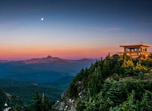
5.02.67 mi / 873 ft gainCoffin Mountain Fire Lookout is a beautiful day hike that takes you to its summit at 5771 feet elevation, covering roughly 1070 feet elevation gain. To get to the Coffin Mt. trailhead from Detroit OR, travel east on Highway 22 for approximately 19.5 miles to Forest Road 11 (Straight Creek Road)....Read more -
Clackamas County, Oregon
Salmon River Trail
4.54.4 mi / 50 ft gainLargely Flat Trail4.4 Miles roundtripOld Growth ForestRiver Scouting Opportunities There are seven trailheads all off to the right of E. Salmon River Road. All are easily accessible under normal conditions. The hike meanders alongside the river, providing ample opportunities to scout the river's...Read more -
Rhododendron, Oregon
Frustration Falls
3.08.26 mi / 1854 ft gainThe hike and possible rappel to Frustration Falls begins at the Salmon River trailhead right outside of Welches, Oregon. From the trailhead you follow the trail for about 4 miles at which point you reach Canyon View (Shown in pictures 5-6 above). From the main trail this is the only view of Frust...Read more -
Camas, Washington
Hike Lacamas Heritage Trail
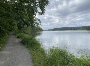
5.03.5 mi / 139 ft gainUsed often for cross country practice, the Lacamas Heritage Trail is a popular gem in Camas, Washington for all citizens. It is family and dog friendly and comes with endless scenic views of the beautiful Lacamas Lake. Parking is free and there are bathrooms at the entrance.Read more -
Camas, Washington
Kayak Lacamas Lake
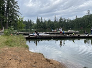
5.0Lacamas Lake is popular for all types of water activities with easy access because of it’s dock and free public parking. This area is family and dog friendly and has picnic tables for a place to sit down and have a nice lunch after swimming. Rope swings can be found along the beach if you’re the ...Read more -
Corbett, Oregon
Night Sky Shooting at Vista House
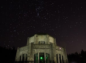
3.0The Vista House located in the Columbia River Gorge offers those looking to photograph the night sky without traveling long distance from Portland the opportunity to do so. Vista House is just far enough away from Portland's light pollution to allow you to capture enough stars on a clear night.T...Read more -
Detroit, Oregon
Boca Cave & Triangulation Peak
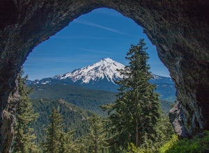
4.04.75 mi / 1053 ft gainTriangulation Peak, Spire Rock and Boca Cave TH #3372 The trail starts on level ground where you travel east along the top of the ridge. There are multiple trees that have fallen across the trail making the hike quite adventurous. Some trees you'll go over and some you will need to go under. Dep...Read more


