Sandy, Oregon
Top Spots in and near Sandy
-
Cascade Locks, Oregon
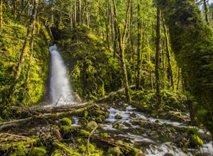
Ruckel Creek Falls
4.01.21 mi / 194 ft gainPark at the Eagle Creek Trailhead, and backtrack out towards the highway. Take the path to the right and walk alongside the highway for nearly a half mile. Stop when you are on the bridge and see the Ruckel Creek Trail to your right. If you look left, you will notice a waterfall dropping below yo...Read more -
Cascade Locks, Oregon
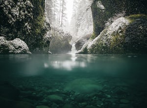
Metlako & Punchbowl Falls
4.75.46 mi / 1030 ft gainNote: The overlook at Metlako Falls is closed. Find out more info here. This is a fairly short hike. 2 miles in to Punchbowl Falls (past Metlako Falls) and then 2 miles out. I’ve done it in all sorts of conditions from 95 degree sunny summer days to a trip in a deep freeze where I got in my wets...Read more -
Cascade Locks, Oregon
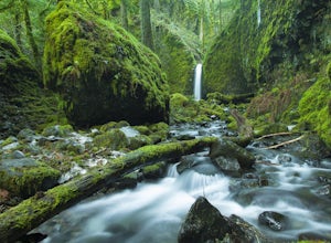
Hike to Mossy Grotto Falls
2.71.6 miNote: This trail may be closed. Additionally, getting to Mossy Grotto Falls is a very challenging adventure, especially when conditions are muddy. Before exploring this adventure, consider checking for updates with the Forest Service for the Columbia River Gorge: (541) 308-1700. This newly di...Read more -
Cascade Locks, Oregon
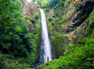
Tunnel Falls
4.411.87 mi / 2874 ft gainThis hike begins at the Eagle Creek Trailhead. This is the same trailhead that goes to popular Punchbowl Falls. The trail to reach Tunnel Falls is 12 miles roundtrip on an out and back trail. If you continue another 0.5 miles on the trail after Tunnel Falls you will reach Twister Falls. The hike ...Read more -
Portland, Oregon
Wildwood Trail in Washington Park
5.07.63 mi / 1503 ft gainTake the train to Washington Park and hike through Hoyt Arboretum. This will bypass a few miles of Wildwood Trail, but you won't miss much. In the arboretum, the trail twists and turns through the trees, will smaller trails jutting off to the sides, through other groups of trees (each trail is a...Read more -
Portland, Oregon
Hoyt Arboretum
1.4 mi / 148 ft gainFounded in 1928 to conserve endangered species and educate visitors, Hoyt Arboretum is a 190-acre park in the forest above Portland's NW area. It's only 15 minutes from downtown! There are 12+ miles of trails to explore, my favorite is the Redwood Trail that takes you through towering redwoods a...Read more -
Cascade Locks, Oregon
Ruckel Ridge Loop
5.08.08 mi / 3730 ft gainThis ridge is one of the lesser known paths from the Eagle Creek Trailhead. Instead of taking Ruckel Creek Trail, find the trail leading up Ruckel Ridge. It is a far more difficult hike of about 7 miles leading up to Benson Plateau. Along the way there are beautiful lookout points for Mount Hood,...Read more -
Portland, Oregon
Photograph Downtown Portland From Pittock Mansion
4.7Pittock Mansion offers a one of kind view of downtown Portland. This is a historic site that allows public access throughout the day and night. Parking is available at Pittock until 9pm but if you wish to visit the grounds after hours you can park at the bottom of the driveway, walk around the ga...Read more -
Portland, Oregon
Lower Macleay Park to Pittock Mansion
3.04.7 mi / 965 ft gainLower Macleay Park is one of most easily accessible trailheads in the city, especially during one of Portland’s rare snow years where even driving up to 500 feet of elevation can challenge your car. You can park within the park entrance cul-de-sac, around the intersection of Upshur St. & NW 2...Read more -
Tualatin, Oregon
Kayaking the Lower Tualatin River
4.0The Tualatin River runs from Hagg Lake, near Forest Grove, then travels through many small towns before it empties into the Willamette River at Willamette Park.Start at the Tualatin Community Park in Tualatin and paddle down to Willamette Park in West Linn. This section offers a few miles of easy...Read more -
Government Camp, Oregon
Tom Dick and Harry Mountain
5.08.28 mi / 1726 ft gainLooking to score those iconic photos of Mt. Hood? Climb the well-graded trail to Tom Dick and Harry Mountain, one of the most accessible summit hikes to Portlanders, and see where they were all taken. Starting from the busy Mirror Lake Trailhead, climb roughly 900 feet and 1.5 miles to Mirror La...Read more -
Government Camp, Oregon
Mirror Lake Trail
4.54.09 mi / 810 ft gainI was out doing the Ramona Falls hike, and I decided that I needed to find a lake that provided me with a great view of Mt Hood. My first stop was Trillium Lake, but with that being a “drive up” lake, there were tons of people. Tons of people only means one thing…turbulent waters! As I was dr...Read more -
Portland, Oregon
Leif Erikson Drive to Saltzman Road
4.711.47 mi / 1608 ft gainLeif Erikson Drive is a wide dirt road running through the heart of Forest Park that is closed to motorized vehicles…making it a magnet for those looking to add some relatively easy and scenic distance to their workouts. The road itself is nicely graded and well maintained. It has relatively goo...Read more -
Government Camp, Oregon
Snowshoe Tom, Dick, and Harry
5.08 mi / 1710 ft gainYour day of adventure will start at the Skibowl West parking lot. Unfortunately, due to snowplowing, the roadside parking to the Mirror Lake trailhead is covered in snow. If you are doing this hike in the summer, be sure to check out this adventure: Climb Tock, Dick, and Harry Mountain!After you ...Read more -
Government Camp, Oregon
Veda Lake Trail
4.02.5 mi / 748 ft gainThis hike starts at the Fir Tree Trailhead and is an out and back 2.8 mile round trip. It's short, but there's 660 feet of elevation gain. To start, you climb steeply then it's an easy hike to a beautiful viewpoint overlooking the lake. The trail descends via switchbacks down to the lake for the ...Read more -
Cascade Locks, Oregon
Dry Creek Falls via PCT
4.34.44 mi / 1191 ft gainThis is a 4.4 mile out and back hike with only 710 feet in elevation gain. From the parking area at the Bridge of The Gods Trailhead, make your way across the road to the Pacific Crest Trail, which runs parallel with I-84. Shortly you'll run into a street that goes under I-84. Make your way up...Read more

