Sandy, Oregon
Top Spots in and near Sandy
-
Stayton, Oregon
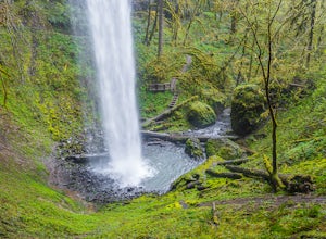
Shellburg Falls
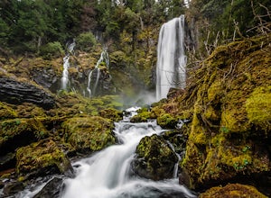
3.23.7 mi / 520 ft gainThis hike is currently closed due to fire damage. Please check the Oregon.gov website or the call the Oregon Department of Forestry (503-859-4344) for updates. The hike, including the initial 1.25 mile gravel road to the trailhead, is easy to complete within 1-2 hours and only requires a modera...Read more -
National Forest Development Road 4220, Oregon
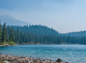
Hike to Gifford Lake
3 mi / 500 ft gainSet out at the Lower Lake trailhead along trail #717. After only half a mile the trail opens up to Lower Lake, with views of Olallie Butte. The trail winds around the north east side of the lake and you come to a junctions with trail #706. From here take the left onto #706 and continue about .6 o...Read more -
National Forest Development Road 4220, Oregon
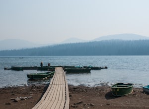
Olallie Lake North Basin Loop
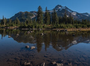
12.05 mi / 2021 ft gainBegin at the Lower Lake Campground and take the Lower Lake trailhead. The best direction to hike is counter clockwise, however you can do either. Continue along Trail #717 and very shortly you come out to Lower Lake featuring Mt. Jefferson as the backdrop. From here keep hiking and you reach yo...Read more -
Skamania County, Washington
Camp Forlorn Lakes & Explore Guler Ice Cave
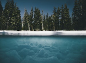
Camp at scenic and easily-accessible Forlorn Lakes, where the 25 campsites ($10/night) are both isolated and roomy. Sites have a picnic table and fire ring and provide access to the series of lakes, as well as the East Crater Trailhead which leads into the Indian Heaven Wilderness.Nearby, explore...Read more -
Mosier, Oregon
Mosier Plateau Trail
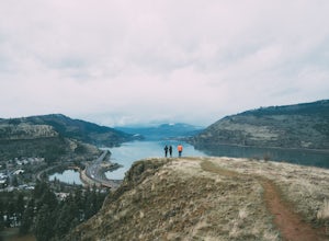
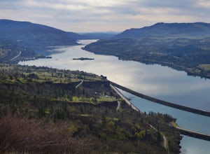
2.79 mi / 600 ft gainThe Columbia River Gorge is full of hidden gems, especially for new folks like me. I just found out about this little trail right in the middle of Mosier Oregon. The trail is great for new hikers, and if you have some friends visiting this would be the perfect trail to take them on if they don'...Read more -
White Salmon, Washington
Coyote Wall Loop
3.56.29 mi / 1962 ft gainCoyote Wall is a relatively uncrowded trail system in the Columbia River Gorge that provides outstanding views of the Columbia River. The trail system is made up primarily of user-created mountain biking trails, allowing hikers a choose-your-own-adventure approach to exploring the area. Start o...Read more -
Skamania County, Washington
Indian Heaven to Blue Lake
4.56.71 mi / 997 ft gainCrowds and mosquitoes were nonexistent as we went a bit early in the season. The trails were all covered in snow, but we were able to do some way finding with a GPS and topo map. 3.5 miles in we found a dry spot next to Blue Lake and set up shop. After dropping off our gear we climbed up Gifford...Read more -
Skamania County, Washington
McClellan Falls
1.00.7 mi / 200 ft gainThe trail begins at the parking for McClellan Overlook. Head out of the parking area and cross over the highway before heading onto a faint, unmarked trail. You may have to do a little routefinding, so it's best to download this map before heading out so you can make sure you stay on path. This...Read more -
498 Old Highway 8, Washington
Labyrinth-Coyote Wall Loop
6.42 mi / 1555 ft gainSadly because of the devastating Eagle Creek fire on the Oregon side of the Gorge, most of the trails are closed for restoration. As a result more hikers are heading to the Washington side and heading further east for Gorge day hikes. Heading east gets you some sunnier skies and prime wildflower ...Read more -
Skamania County, Washington
Fly Fish Lewis River, Cougar, WA
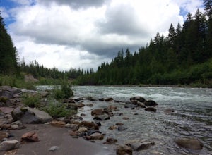
2.0An 1.5 hour drive NE from Vancouver, WA this section of the Lewis River makes for a perfect day fishing trip. Heading North on I-5 for approximately 20 miles take the Woodland / HWY 503 exit East and head towards Mt St. Helens. You'll follow the Lewis River along Hwy 503 (Lewis River Road) the ...Read more -
Ariel, Washington
Fly Fish Merrill Lake
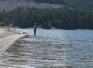
1 mi / 100 ft gainSurrounded by old growth forest, Merrill Lake near Cougar, Washington is the perfect little gem to get in some late summer, mid-elevation mountain lake fishing. The morning and evening hatches are known state wide for the size of fish they attract. There are stories of Eagles even stealing trout ...Read more -
Detroit, Oregon
Boca Cave & Triangulation Peak
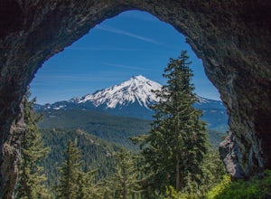
4.04.75 mi / 1053 ft gainTriangulation Peak, Spire Rock and Boca Cave TH #3372 The trail starts on level ground where you travel east along the top of the ridge. There are multiple trees that have fallen across the trail making the hike quite adventurous. Some trees you'll go over and some you will need to go under. Dep...Read more -
Cougar, Washington
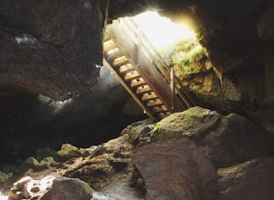
Explore the Ape Caves
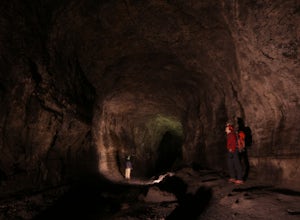
4.0As if erupting volcanoes weren't awesome enough, ancient lava flows also left behind these giant, hollow tubes as they cooled. Spend all day exploring deep underground in this 2.5 mile cave.To get there, head to the SOUTH side of Mount Saint Helens. You must pass through the town of Cougar to get...Read more -
Marion County, Oregon
Explore Mt. Jefferson
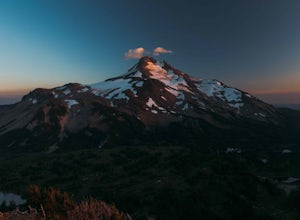
5.0I went for a quick overnighter. The end of August is great for weather, very little bugs, and perfect time to meet and chat with PCT through hikers.The weather was absolutely perfect for night photography and lounging around camp. It's also one of the best views in Oregon if you ask me.If you're ...Read more -
Marion County, Oregon
Hike Mt. Jefferson's Park Ridge
5.07.4 mi / 1500 ft gainFrom the Breightenbush Lake PCT trailhead (5,600ft Elevation) you hike through a thick forest until you reach an old burn area. This area was burned from a forest fire and has rebirthed lush green plants and bushes to help feed all the animals in the area. After a mile of climbing through the bur...Read more

