Sandy, Oregon
Top Spots in and near Sandy
-
Lyons, Oregon
Henline Falls Trail
5.01.71 mi / 312 ft gainThe trail is a washed out, old mining road making its way through a lush forest with a mix of ferns, moss covered trees, and towering Douglas Firs with trees blown over from wind storms lining both sides of the trail. I call those Big Foot traps. The trail comes to a fork, stay to the left you ar...Read more -
Carson, Washington
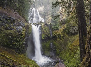
Falls Creek Falls
4.85.82 mi / 1512 ft gainThe trail to Falls Creek Falls is well maintained with a few short moderately steep areas. The trail hugs the creek for the first mile, and takes you through old growth trees for the second mile. Once the falls are in sight, make sure to stop and look up to see the top tier through the trees. It'...Read more -
Portland, Oregon
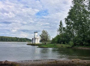
Warrior Rock Lighthouse
4.06.04 mi / 148 ft gainThis is a perfect easy hike close to Portland on Sauvie Island that offers more than just a walk through a forest. At the end of the 3 mile trail is a long secluded beach and the Warrior Rock Lighthouse. This has become one of my favorite go-to runs on a summer weeknight evening or for a quieter ...Read more -
Lyons, Oregon
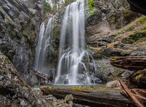
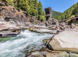
Swim at Three Pools
5.0To get there from Salem, Follow Hwy. 22 east to Mehama. Turn on Little North Santiam Road (FS 2209) and proceed for 12 miles to Three Pools Day Use Area. Three Pools is by far one of the most popular swimming holes in the Northwest. With multiple swimming holes within just feet from one another i...Read more -
Carson, Washington
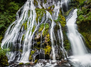
Panther Creek Falls
4.60.64 mi / 180 ft gainThis hidden beauty is just north of Carson, Washington. Watch for Panther Creek campground signs and follow the twisting road about 7 miles to a rock quarry and park there. The trail begins just off the road about 50 yards back - keep an eye out for signs for the trailhead and listen for the fall...Read more -
Detroit, Oregon
Battle Ax Mountain
5.05.09 mi / 1594 ft gainWith no officially marked trailhead, this hike begins slightly west of Elk Lake in Marion County. Take Highway 22 to Detroit, OR. East of the bridge over Breitenbush River, turn onto (FR) Forest Road 46, with signs pointing to Breitenbush River. After 4.5 miles turn left at a sign for Elk Lake, a...Read more -
Woodland, Washington
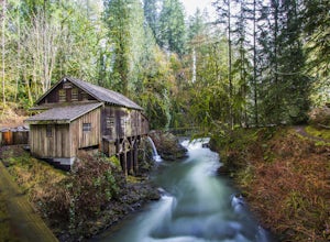
Explore the Cedar Grist Mill
3.6After parking in the lot near the mill, walk across the bridge. This is the first good viewpoint for photography. Next, I recommend walking under the bridge, this is my favorite spot for taking photos. The whole area is free to walk around, you can even walk in the mill and then walk up stream do...Read more -
Silverton, Oregon
Camp in Silver Falls State Park
4.68.7 mi / 1300 ft gainIf you're thinking of hiking the Trail of Ten Falls Loop and staying overnight, there are 42 tent campsites (available from April – Oct) as well as 14 rustic cabins. With multiple beds, heat, electricity, a covered porch, and a small fridge, they provide the perfect respite after a long day of ex...Read more -
Drake Crossing, Oregon
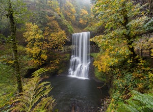
Trail of Ten Falls Loop
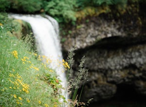
4.77.16 mi / 1178 ft gainThe unique feature of South Falls, Lower South Falls, and Middle North Falls are the paths that pass behind the falls providing an amazing visual and auditory experience; however, be sure to have a good bag for your equipment to avoid water damage and a decent jacket (preferably water-resistant)....Read more -
Marion County, Oregon
Gold Butte Fire Lookout
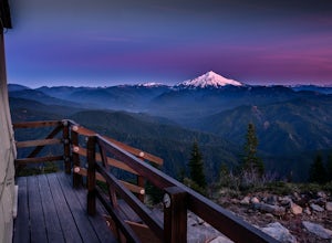
4.32.44 mi / 741 ft gainGold Butte Fire Lookout is a real gem in the Willamette National Forest. At 4618 feet elevation, the nearby Cascade Mountain views are nothing short of spectacular! At the summit, sits a L-4 Ground Structure Type Fire Lookout that was built in1934 to be used as a Fire Lookout. Additionally, durin...Read more -
Silverton, Oregon
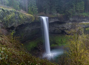
South Silver Falls
5.02.14 mi / 361 ft gainSouth Silver Falls is a loop trail that takes you by a river located near Silverton, Oregon.Read more -
Hood River, Oregon
Kiteboard in the Columbia River Gorge
5.0Kiteboarding is one of the fastest growing sports in the world and for good reason. Imagine racing over the water with 30 mph winds, jumping from waves and grinding on a rail with your board. Ok ok maybe that is way to much for most of us and just standing up would be an accomplishment, but Kite...Read more -
Hood River, Oregon
Bike from Hood River to The Dalles
2.040 mi / 2800 ft gainThe ride from Hood River to The Dalles is one of the best 20 mile stretches of road biking in Oregon, and arguably the best. The ride starts out in the wonderful town of Hood River - a tourist and adventure destination in its own right - and follows the historic Columbia River Gorge highway (US-3...Read more -
Gates, Oregon
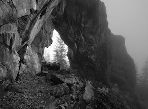
Natural Rock Arch
5.00.68 mi / 449 ft gainThe Santiam Forest is well known for its many beautiful spots, but this one is fairly uncommon. It's likely you will be the only person out here. Since it's such a short hike, just about a mile round trip, you could easily make it a pit stop on your way to or from someplace else and not have to w...Read more -
Ariel, Washington
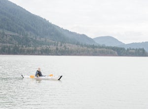
Kayak at Yale Lake
5.0Just 55 miles northeast of Portland lies a body of water so pure you have to see it to believe it...that's right, we're talking about Yale Lake. One of three lakes beneath Washington's ever rumbling Mount St Helens, Yale offers the outdoor lover just about everything they could ask for: calm wat...Read more -
Detroit, Oregon
Dome Rock via the Upper Trailhead
2.36 mi / 479 ft gainFrom Highway 22 at the Breitenbush River Bridge, in Detroit, turn north on to French Creek Rd. Drive up French Creek about 7.7 miles to the Upper TH #3379/3381 to Dome Rock and Tumble Lake. The trail can be found on the left side of the road and is easily seen after you pass it. It's best to pass...Read more

