Rockaway Beach, Oregon
Looking for the best photography in Rockaway Beach? We've got you covered with the top trails, trips, hiking, backpacking, camping and more around Rockaway Beach. The detailed guides, photos, and reviews are all submitted by the Outbound community.
Top Photography Spots in and near Rockaway Beach
-
Tillamook, Oregon
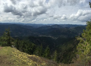
King's Mountain
4.54.47 mi / 2461 ft gainKing's Mountain may be one of the most consistent hikes in the greater Portland area gaining 2,500 vertical-feet over 2.5 miles almost evenly the entire time. The trail starts out at a marked trailhead just west of the Elk Mountain campground (stop there for water and more restrooms in summer &a...Read more -
Cannon Beach, Oregon
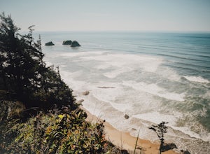
Crescent Beach Trail
5.02.28 mi / 797 ft gainHead off the 101 to Ecola State Park and drive to the large main car area. From here the trailhead is located just above the restroom facility and is well signed, you can't miss the huge placard. Starting with a few short incline stair sets, you will hit the main roadway; follow the sidewalk for ...Read more -
Cannon Beach, Oregon
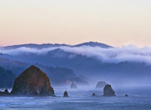
Explore Ecola State Park
4.5Oregon is full of state parks. Ecola is one of the easiest parks to capture amazing views. The sate park spans 9 miles of Oregon coastline. It's $5 to get in and it's well worth the money (you can also purchase an annual parking pass here). Many people come to the park to take photos of Hayst...Read more -
Seaside, Oregon
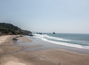
Indian Beach
Just about an hour west from Portland in Ecola State Park you'll find Indian beach. It's a 5 dollar fee to get into the park, but that fee also keeps the crowds out. Once you get into the park just follow the signs to Indian beach just a little ways down the road. This beach is filled with surfe...Read more -
Tillamook, Oregon
Wilson River Trail
3.018.58 mi / 4879 ft gainThis long trail provides hikers with great views of the corridor in the Coast Range. As the trail follows public land for the most part, there are a couple sections with steady elevation gains to avoid private land: near Lees Camp and Ryan Creek. Although the trail receives some of the most rain...Read more -
Timber, Oregon
Hike the Upper Salmonberry River Trail
4.112.5 mi / 1600 ft gainIf you are craving adventure and exploration in a unique hiking setting, then you have come to the right place! This is a hike where every time you turn a corner your eyes light up with excitement and your imagination runs wild. Be forewarned though…if you fear cold, dark, and creepy abandoned tr...Read more -
Gaston, Oregon
University Falls
4.00.61 mi / 138 ft gainThe 0.3 mile hike to University Falls seems longer than it is because you'll be stopping to take pictures every step of the way. No, you're not in an enchanted forest, you're in the Tillamook National Forest. The waterfall you're about to find, however, certainly is enchanting. From Portland, he...Read more -
Seaside, Oregon
Saddle Mountain Trail
4.74.59 mi / 1644 ft gainSaddle Mountain is a pretty stellar spot if you are looking for a beginner/intermediate hike with incredible views close to Portland. The trail is a 5.2 mile round trip trail with an elevation gain of 1600 ft that starts at the Saddle Mountain Trailhead. You can actually camp right at the trail...Read more -
Cloverdale, Oregon
Explore Cape Kiwanda
4.8Cape Kiwanda is part of the Three Capes Scenic Route. It offers sea stack rock formations, beautiful beaches, sand stone cliffs, and if you are lucky enough, amazing wildlife. It is the home of the Pacific Dory Fleet.If you are early enough, you can catch the fisherman coming and going in the mys...Read more -
Cloverdale, Oregon
Surf Pacific City
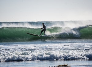
4.5From Pacific City, drive into the Pelican Brew Pub parking lot and right out on the beach to park (4x4 recommended, but not required). Suit up, and head out into the water. Sandy, cold water will greet you with occasional perfect swells to catch back to shore! Perfect for surfing, boogie boarding...Read more -
Seaside, Oregon
Del Rey Beach
5.0Less than 2 hours from Portland, set the GPS to Gearhart, and drive out onto Del Ray Beach for the sunset with your significant other. This is the only beach in the state of Oregon that you are allowed to drive on. If you have four wheel drive, take a little drive through the incoming waves and ...Read more -
Beaver, Oregon
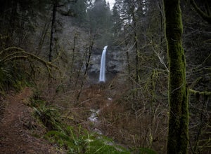
Hike to Pheasant Creek Falls
4.04 mi / 800 ft gainHike: The hike to Pheasant Creek Falls is just short continuation of nearby Niagara Falls. After reaching Niagara Falls, continue on the trail for about another 300 feet and you'll reach the more impressive, Pheasant Creek Falls.For more detailed information including a trail map and directions ...Read more -
Astoria, Oregon
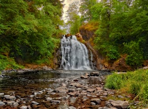
Youngs River Falls
4.50.33 mi / 59 ft gainYoungs River Falls is a scenic 50-foot waterfall on Youngs River, about 15 minutes outside of Astoria. The falls are somewhat unique in that the base is located only about 10 feet above sea level From Astoria. The falls have been featured in several movies, most notably Free Willy 2 and Teenage M...Read more -
Warrenton, Oregon
Fort Clatsop
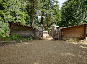
4.0Tucked in a forest within a few minutes drive of Astoria and along the Columbia River, Lewis and Clark National Historic Park is small in size but rich in history. If you're a wanderluster who appreciates learning about the early explorers that came before you this is a can't miss spot. My own...Read more -
Astoria, Oregon
Airport Dike Trail
3.04.11 mi / 79 ft gainParking for this hike can be found at either end of the trail. It starts at the west end of the Lewis & Clark Bridge from a small access road that is used as a parking lot. From here it is a flat walk along an old grassy road that is well maintained. If you forgot to bring along bags to pi...Read more -
Otis, Oregon
Hike Hart's Cove Trail
5.05 mi / 900 ft gainThe trail starts at the end of Forest Service Road 1861 which is closed January 1st through July 15th for wildlife conservation. This trail descends about 900 feet in elevation through a Sitka Spruce-Western Hemlock rain forest. You will cross two seasonal creeks and end at a prairie headland o...Read more

