Rickreall, Oregon
Top Spots in and near Rickreall
-
Woodburn, Oregon
Explore the Woodburn Shoe Tulip Farm
4.0The Wooden Shoe Tulip Farm is open 9am-6pm and offers the public a chance to see their 40 acres of Tulips for a limited time during the year. Their tulip fest goes from late March to early May so double check to make sure they're open before you go.For $5 a person or $20 for a car this place off...Read more -
Beaver, Oregon
Hike to Pheasant Creek Falls
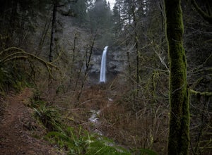
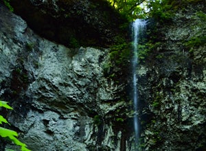
4.04 mi / 800 ft gainHike: The hike to Pheasant Creek Falls is just short continuation of nearby Niagara Falls. After reaching Niagara Falls, continue on the trail for about another 300 feet and you'll reach the more impressive, Pheasant Creek Falls.For more detailed information including a trail map and directions ...Read more -
Saint Paul, Oregon
Hike the Champoeg SP Loop
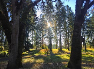
5.03.4 mi / 120 ft gainChampoeg was the first town to be settled in the Willamette Valley and the site of the formation of the first government in the northwest. The park offers historical sites as well as plentiful camping and some short day hikes. I decided to do the Townsite loop with my family on black friday #opto...Read more -
Beaver, Oregon
Hike to Niagara Falls, OR
4.04 mi / 800 ft gainGetting There Get onto Highway 101. Between Tillamook and Lincoln City at the town of Beaver, turn east near mile marker 80 onto a paved road toward upper Nestucca River. Follow this scenic road 6.7 miles to the town of Blaine. Stay to the right and drive another 4.8 miles; between mile markers 1...Read more -
Drake Crossing, Oregon
Trail of Ten Falls Loop
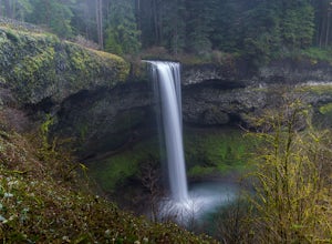
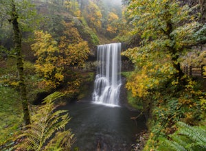
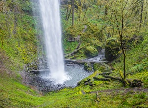
4.77.16 mi / 1178 ft gainThe unique feature of South Falls, Lower South Falls, and Middle North Falls are the paths that pass behind the falls providing an amazing visual and auditory experience; however, be sure to have a good bag for your equipment to avoid water damage and a decent jacket (preferably water-resistant)....Read more -
Silverton, Oregon
Camp in Silver Falls State Park
4.68.7 mi / 1300 ft gainIf you're thinking of hiking the Trail of Ten Falls Loop and staying overnight, there are 42 tent campsites (available from April – Oct) as well as 14 rustic cabins. With multiple beds, heat, electricity, a covered porch, and a small fridge, they provide the perfect respite after a long day of ex...Read more -
Silverton, Oregon
South Silver Falls
5.02.14 mi / 361 ft gainSouth Silver Falls is a loop trail that takes you by a river located near Silverton, Oregon.Read more -
Otis, Oregon
Hike to Drift Creek Falls
4.93.5 mi / 490 ft gainThis hike down to Drift Creek Falls is more of an easy stroll. But before you reach the trail head, if coming from the north, make sure to stop at Oregon's oldest covered bridge off Bear Creek Rd.The trail head to Drift Creek Falls will be farther south on Bear Creek Rd where you will branch off ...Read more -
Stayton, Oregon
Shellburg Falls
3.23.7 mi / 520 ft gainThis hike is currently closed due to fire damage. Please check the Oregon.gov website or the call the Oregon Department of Forestry (503-859-4344) for updates. The hike, including the initial 1.25 mile gravel road to the trailhead, is easy to complete within 1-2 hours and only requires a modera...Read more -
Scotts Mills, Oregon
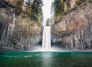
Abiqua Falls
4.90.69 mi / 115 ft gainThis trail is unmarked and a little rough and rugged. The land is privately owned by Mount Angel Abbey, but they don't appear to have problems with courteous hikers. Walking out of the parking area back up the road in the direction you came from, you’ll pass one dirt trail right at the ending of ...Read more -
Beaver, Oregon
Hebo Lake to South Lake via Pioneer Indian Trail
14.07 mi / 2697 ft gainHebo Lake to South Lake via Pioneer Indian Trail is an out-and-back trail that takes you by a lake located near Beaver, Oregon.Read more -
Scotts Mills, Oregon
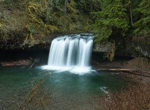
Upper Butte Creek Falls
4.00.73 mi / 308 ft gainFrom Scott Mills Follow Crooked Finger RD NE for 13.3 Miles to the Upper Butte Creek Trailhead. The last 2-3 miles or so is gravel road with some potholes but most cars shouldn't have a problem. The path down to the falls starts near the bathrooms. A short .3 mile walk on a few switchbacks and...Read more -
Corvallis, Oregon
Explore the Finley Wildlife Refuge
4.3Starting at the visitor center, the trail begins west heading into the forest where you’ll only gain around a couple hundred feet of elevation. While you are hiking on this trail you are surrounded by conifer trees, little open areas of sitting water, and look outs that are hidden within the trai...Read more -
Molalla, Oregon
Huckleberry, Mark's and Looney's Gate Loop
4.03.72 mi / 702 ft gainHuckleberry, Mark's and Looney's Gate Loop is a loop trail that takes you through a nice forest located near Molalla, Oregon.Read more -
Otis, Oregon
Hike Hart's Cove Trail
5.05 mi / 900 ft gainThe trail starts at the end of Forest Service Road 1861 which is closed January 1st through July 15th for wildlife conservation. This trail descends about 900 feet in elevation through a Sitka Spruce-Western Hemlock rain forest. You will cross two seasonal creeks and end at a prairie headland o...Read more -
Otis, Oregon
Hike to Cascade Head
4.56.8 mi / 1200 ft gainCascade Head on the Oregon Coast sits a top a 270 acre preserve protected by the Nature Conservancy and is a National Scenic Research Area and a United Nations Biosphere Reserve. From the south trail head at Knight Park the trail winds through an old growth coastal forest before climbing 1200 ver...Read more


