Philomath, Oregon
Top Spots in and near Philomath
-
Otis, Oregon
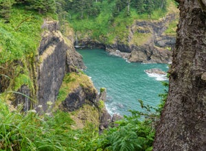
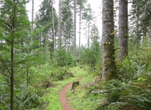
Hike Hart's Cove Trail
5.05 mi / 900 ft gainThe trail starts at the end of Forest Service Road 1861 which is closed January 1st through July 15th for wildlife conservation. This trail descends about 900 feet in elevation through a Sitka Spruce-Western Hemlock rain forest. You will cross two seasonal creeks and end at a prairie headland o...Read more -
Scotts Mills, Oregon
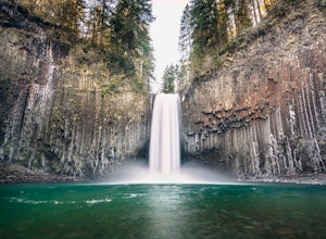
Abiqua Falls
4.90.69 mi / 115 ft gainThis trail is unmarked and a little rough and rugged. The land is privately owned by Mount Angel Abbey, but they don't appear to have problems with courteous hikers. Walking out of the parking area back up the road in the direction you came from, you’ll pass one dirt trail right at the ending of ...Read more -
Mapleton, Oregon
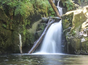
Hike to Sweet Creek Waterfall
4.82.2 mi / 100 ft gainMake sure you add this hidden gem to your waterfall chasing plans on your road trip to Oregon. This underrated Oregon waterfall is the perfect hike for the entire family. The trail offers four different falls from 10-30 feet high. The trail slowly climbs 2.2 miles through a beautiful thick forest...Read more -
Beaver, Oregon
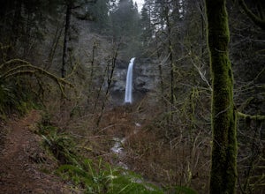
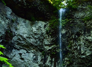
Hike to Pheasant Creek Falls
4.04 mi / 800 ft gainHike: The hike to Pheasant Creek Falls is just short continuation of nearby Niagara Falls. After reaching Niagara Falls, continue on the trail for about another 300 feet and you'll reach the more impressive, Pheasant Creek Falls.For more detailed information including a trail map and directions ...Read more -
McMinnville, Oregon
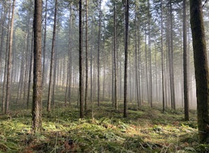
Hike the Red Trail in Miller Woods
4.04 mi / 400 ft gainLocated three miles west of McMinnville and available for public hiking and activities, Miller Woods is owned and operated by Yamhill SWCD. You may choose different trails to take.From the parking lot the trails are marked by colors to go on the 4.0 mile loop go to the meadow and follow the red m...Read more -
McMinnville, Oregon
Miller Woods
5.03.63 mi / 735 ft gainMiller Woods Trail is a loop trail where you may see beautiful wildflowers located near McMinnville, Oregon.Read more -
Beaver, Oregon
Hike to Niagara Falls, OR
4.04 mi / 800 ft gainGetting There Get onto Highway 101. Between Tillamook and Lincoln City at the town of Beaver, turn east near mile marker 80 onto a paved road toward upper Nestucca River. Follow this scenic road 6.7 miles to the town of Blaine. Stay to the right and drive another 4.8 miles; between mile markers 1...Read more -
Scotts Mills, Oregon
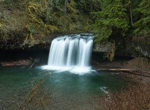
Upper Butte Creek Falls
4.00.73 mi / 308 ft gainFrom Scott Mills Follow Crooked Finger RD NE for 13.3 Miles to the Upper Butte Creek Trailhead. The last 2-3 miles or so is gravel road with some potholes but most cars shouldn't have a problem. The path down to the falls starts near the bathrooms. A short .3 mile walk on a few switchbacks and...Read more

