Marmot, Oregon
Looking for the best photography in Marmot? We've got you covered with the top trails, trips, hiking, backpacking, camping and more around Marmot. The detailed guides, photos, and reviews are all submitted by the Outbound community.
Top Photography Spots in and near Marmot
-
Stevenson, Washington
Three Corner Rock
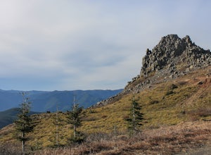
4.03.86 mi / 1093 ft gainFrom the Rock Creek Pass Trailhead, begin the short hike to Three Corner Rock by heading south on the Pacific Crest Trail from its crossing of Road CG 2090. After a steady 1.5-mile climb of roughly 600 feet, look for a large fallen sign marking the junction to Three Corner Rock. Shortly after, an...Read more -
Portland, Oregon
Mount Tabor Park
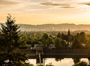
4.3Sitting 400 feet above the city with views of Mt. Hood and Portland doesn't sound to bad right?? Mount Tabor is located in Southeast Portland and is a once active volcano. There are 196 acres of park for you to explore. In order to photograph the best pictures of Mt. Hood I highly suggest gettin...Read more -
Mount Hood, Oregon
Snowshoe to the Tilly Jane A-Frame
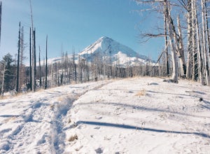
5.02.7 mi / 1900 ft gainBuilt in the 1930's, the Tilly Jane A-Frame sits on the North side of Mount Hood at around 6,000ft. The cabin is very popular during winter months as it is located only 1,000ft below the tree line and offers beautiful snowshoeing, hiking, skiing and snowboarding opportunities, yet is also a popul...Read more -
Oregon City, Oregon
Walk the Canemah Bluff Loop
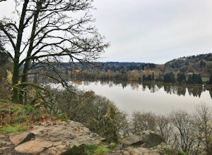
4.51.6 mi / 200 ft gainYou'll never stumble upon Canemah Park unless you're really looking for it. Tucked away in the hills of Oregon City above the Locks, this residential park has a miniature-sized set of everything you'd expect in a children's park: Playground, picnic benches, bathrooms, and wide, forested trails. D...Read more -
Carson, Washington
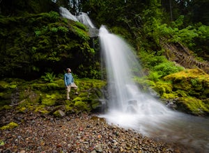
Steep Creek Falls
5.0Steep Creek Falls is located about 5 miles from the small town of Stevenson. Take Highway 14 one mile west of Stevenson to Rock Creek Drive and turn north, passing the Skamania Lodge and Resort. Turn left onto Ryan Allen Road and follow it for about a mile, then turn left onto Red Bluff Road. Fo...Read more -
Clackamas County, Oregon
Camp at Timothy Lake
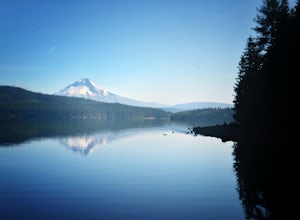
4.5Timothy Lake is one very large, man-made lake in the heart of Mt. Hood National Forest, and can be considered one of the best summer camping spots in the area. With more than ten campgrounds to choose from, this area can accommodate almost every type of camping possible - everything from cabin re...Read more -
Cascade Locks, Oregon
Emerald Falls
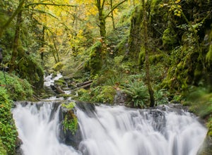
2.00.65 mi / 308 ft gainStart at the Wyreth Campground day-use area. If it's closed, park on the side of the road and walk in from the roadway. You'll see an intersection with a wooden bridge crossing the river. Take a few pictures and continue straight on the trail. You'll go about 1/2 mile on the trail until you rea...Read more -
Cascade Locks, Oregon
North Lake via Wyeth Trail
1.012.36 mi / 4505 ft gainPark at the Wyeth Trailhead parking lot and start hiking south along the old road bed. At the junction with the Gorge-Wyeth Trail, bear left and follow the Wyeth Trail as it goes beneath several power lines. Follow the trail as it goes back into the woods and crosses Harphan Creek. Continue on an...Read more -
Cascade Locks, Oregon
Gorton Creek Falls
4.71.01 mi / 361 ft gainThe Gorton Creek Falls hike provides an excellent challenge for those who are searching for a bit of adventure. The trailhead starts at the Wyeth Campground day use area, and continues straight at the intersection. The first 2/3rds of the trail are relatively easy to traverse (depsite being rough...Read more -
Mount Hood, Oregon
Tamanawas Falls
4.43.37 mi / 722 ft gainThis easy trail in the Mt Hood National Forest has a journey just as lovely as the destination. The hike follows closely along the banks of Cold Spring Creek, up through a massive boulder field, and finally arrives at the 150ft tall Tamanawas Hiking directions: Starting at the East Fork- Tamanaw...Read more -
Mount Hood, Oregon
Snowshoe to Tamanawas Falls
4.53.6 mi / 590 ft gainStarting at the Sherwood Trailhead, follow the sign towards Tamanwas Falls. You will walk through the woods towards the river, and cross it on the log bridge. After crossing the creek, you will begin to head uphill. Keep going this way through the woods for nearly 2 miles, and you will reach the ...Read more -
Yacolt, Washington
Hike Silver Star Mountain
4.6Silver Star is simply a must-do hike for adventure lovers here in the Northwest!From the parking area, take the main trail up to the first open meadow. Eds Trail splits off here, meeting back up just before the summit. Be warned, Eds Trail is much steeper in sections and is more difficult than th...Read more -
Mount Hood, Oregon
Explore Lavender Valley
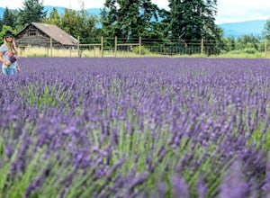
4.0Lavender Valley is a beautiful 6 acre hidden gem just 30 minutes south of Hood River, Oregon. Drive south on Hwy 35 for 12.6 miles to Woodworth Rd. Turn right/west onto Woodworth Rd. Take Woodworth Rd for 1.5 miles to Alexander Rd. Turn right/north onto Alexander Rd. Take Alexander Rd for 1 mile ...Read more -
Portland, Oregon
Night Photography at the OMSI Dock
4.5Starting at OMSI, walk towards the Hawthorne bridge, and away from the Tillicum bridge. After about a tenth of a mile, you will see a dock and the Hawthorne bridge. Walk down on the dock, or take pictures from above. For added adventure, walk under the Hawthorne bridge and take pictures from the ...Read more -
Stevenson, Washington
Wind Mountain
5.02.5 mi / 1037 ft gainOnce you reach the parking lot, walk down the hill and find the trail head, which is easily seen as it is marked. Begin your trek up the trail. The way up is pretty much all uphill, and is a great workout for the legs. You will walk through forests and over many rocks on the way up. As soon as y...Read more -
Portland, Oregon
Waterfront Park
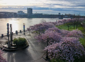
4.52.68 mi / 79 ft gainLooking for a quick run along the water in the heart of Portland? Look no further. This relatively flat 2.6 mile loop runs right along the Willamette and features great views of the city’s bridges, river, the downtown skyline, and all of the fun people enjoying this urban park. From the Salmon S...Read more

