Lyons, Oregon
Top Spots in and near Lyons
-
Oregon City, Oregon
Walk the Canemah Bluff Loop
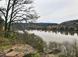
4.51.6 mi / 200 ft gainYou'll never stumble upon Canemah Park unless you're really looking for it. Tucked away in the hills of Oregon City above the Locks, this residential park has a miniature-sized set of everything you'd expect in a children's park: Playground, picnic benches, bathrooms, and wide, forested trails. D...Read more -
Linn County, Oregon
Mountain Bike the McKenzie River Trail
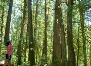
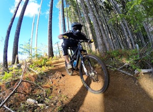
26 mi / -2200 ft gainMountain biking the McKenzie River Trail should be on every serious mountain biker's to-do list, since this trail has repeatedly been cited as the best mountain biking in the United States. The whole trail is an all-day, 26 mile epic, losing 2200 feet of elevation as it parallels the McKenzie Ri...Read more -
National Forest Development Road 4220, Oregon
Hike to Gifford Lake
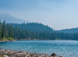
3 mi / 500 ft gainSet out at the Lower Lake trailhead along trail #717. After only half a mile the trail opens up to Lower Lake, with views of Olallie Butte. The trail winds around the north east side of the lake and you come to a junctions with trail #706. From here take the left onto #706 and continue about .6 o...Read more -
National Forest Development Road 4220, Oregon
Olallie Lake North Basin Loop
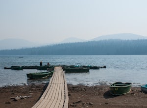
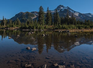
12.05 mi / 2021 ft gainBegin at the Lower Lake Campground and take the Lower Lake trailhead. The best direction to hike is counter clockwise, however you can do either. Continue along Trail #717 and very shortly you come out to Lower Lake featuring Mt. Jefferson as the backdrop. From here keep hiking and you reach yo...Read more -
Marion County, Oregon
Explore Mt. Jefferson
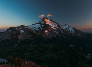
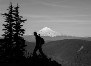
5.0I went for a quick overnighter. The end of August is great for weather, very little bugs, and perfect time to meet and chat with PCT through hikers.The weather was absolutely perfect for night photography and lounging around camp. It's also one of the best views in Oregon if you ask me.If you're ...Read more -
Marion County, Oregon
Hike Mt. Jefferson's Park Ridge
5.07.4 mi / 1500 ft gainFrom the Breightenbush Lake PCT trailhead (5,600ft Elevation) you hike through a thick forest until you reach an old burn area. This area was burned from a forest fire and has rebirthed lush green plants and bushes to help feed all the animals in the area. After a mile of climbing through the bur...Read more -
Sisters, Oregon
Hike around Clear Lake
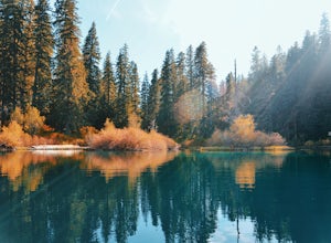
4.74 miOnce you arrive at Clear Lake, I suggest to start the relatively flat hike around the lake. You'll walk through a beautiful forest with peek-a-boo views of the stunning lake. The hike around the full lake may take a few hours, so if you're not staying the night, make sure you have enough time to ...Read more -
Gladstone, Oregon
Run the Clackamette Park Loop
1.2 mi / 10 ft gainClackamette Park is known for its prime destination right off of the freeway and across from Oregon City's most popular shopping area, but it's frequented for its public boat dock, RV facilities, and handicap-accessible picnic benches. While the rest of Portland's parks freeze over or flood, Clac...Read more -
West Linn, Oregon
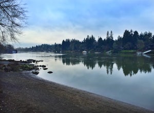
Run Old River Road to George Rogers Park
5.04.8 mi / 100 ft gainPortland and its surrounding suburbs are filled with trails and hidden treasures, including this stretch along the Willamette River. This road is a super popular pedestrian path and can be accessed from West Linn, the Mary's Woods and Marylhurst Development, or from Lake Oswego off of Highway 43....Read more -
Linn County, Oregon
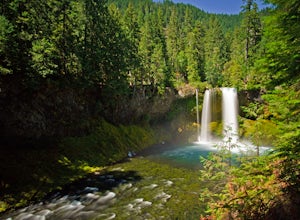
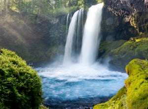
Koosah Falls Trail
5.00.86 mi / 180 ft gainKoosah Falls Trail is an out-and-back trail that takes you by a waterfall located near Sisters, Oregon.Read more -
Sisters, Oregon
Sahalie and Koosah Falls Loop
4.82.42 mi / 545 ft gainThis loop might be on the shorter side, but the hike is more than worth it for the scenery. Start at Sahalie Falls, a 100-foot tall waterfall pouring into the river below and covering the moss-covered valley with cool mist. Continue down the trail, walking past the 70-foot Koosah Falls, and finis...Read more -
Tualatin, Oregon
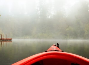
Kayaking the Lower Tualatin River
4.0The Tualatin River runs from Hagg Lake, near Forest Grove, then travels through many small towns before it empties into the Willamette River at Willamette Park.Start at the Tualatin Community Park in Tualatin and paddle down to Willamette Park in West Linn. This section offers a few miles of easy...Read more -
Clackamas County, Oregon
Tumala (Squaw) Mountain
4.74.51 mi / 1099 ft gainOn a clear day, this short, secluded hike offers breath-taking views of Mt. St. Helens, Mt. Rainier, Mt. Adams, Mt. Hood, and Mt. Jefferson, as well as of downtown Portland, Coast Range, and the Roaring River Wilderness. Begin the hike from the Twin Springs Trailhead and immediately take your fi...Read more -
Falls City, Oregon
Ride Black Rock Mountain Bike Trails
5.010 mi / 2000 ft gainBlack Rock Mountain Bike area is the perfect place to hone your MTB skills and take your riding to the next level. Black Rock offers clearly marked single track trails riddled with wooden ramps, berms and dirt features. There are trails ranging from "green" to "double black diamond", ensuring the...Read more -
Corvallis, Oregon
Explore the Finley Wildlife Refuge
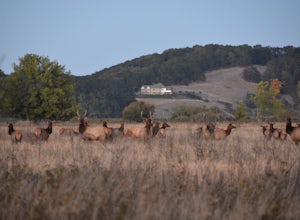
4.3Starting at the visitor center, the trail begins west heading into the forest where you’ll only gain around a couple hundred feet of elevation. While you are hiking on this trail you are surrounded by conifer trees, little open areas of sitting water, and look outs that are hidden within the trai...Read more -
Linn County, Oregon
Tamolitch Blue Pool
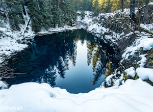
5.03.56 mi / 253 ft gainThe hike out to Tamolitch Pool, or "Blue Pool," is 2 miles each way and follows the McKenzie River to a lava flow pool. Off Highway 126 14 miles east of McKenzie Bridge, turning into the Trailbridge Campground, drive right 1/3 of a mile to the trailhead. The trail is relatively flat, which gives ...Read more

