Lebanon, Oregon
Top Spots in and near Lebanon
-
Silverton, Oregon
South Silver Falls
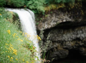
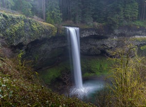
5.02.14 mi / 361 ft gainSouth Silver Falls is a loop trail that takes you by a river located near Silverton, Oregon.Read more -
Drake Crossing, Oregon
Trail of Ten Falls Loop
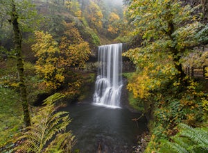
4.77.16 mi / 1178 ft gainThe unique feature of South Falls, Lower South Falls, and Middle North Falls are the paths that pass behind the falls providing an amazing visual and auditory experience; however, be sure to have a good bag for your equipment to avoid water damage and a decent jacket (preferably water-resistant)....Read more -
Silverton, Oregon
Camp in Silver Falls State Park
4.68.7 mi / 1300 ft gainIf you're thinking of hiking the Trail of Ten Falls Loop and staying overnight, there are 42 tent campsites (available from April – Oct) as well as 14 rustic cabins. With multiple beds, heat, electricity, a covered porch, and a small fridge, they provide the perfect respite after a long day of ex...Read more -
Salem, Oregon
Minto-Brown Island Park
7.3 mi / 492 ft gainMinto-Brown Island Park Tail is a loop trail that takes you by a lake located near Salem, Oregon.Read more -
Salem, Oregon
Bridge and Orchard
3.26 mi / 220 ft gainBridge and Orchard is a loop trail that takes you by a lake located near Salem, Oregon.Read more -
Scotts Mills, Oregon
Abiqua Falls
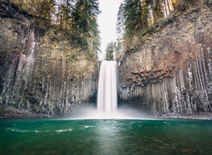
4.90.69 mi / 115 ft gainThis trail is unmarked and a little rough and rugged. The land is privately owned by Mount Angel Abbey, but they don't appear to have problems with courteous hikers. Walking out of the parking area back up the road in the direction you came from, you’ll pass one dirt trail right at the ending of ...Read more -
Monroe, Oregon
Alsea Falls and Green Peak Falls
4.32.4 mi / 269 ft gainThis is a great and easy day hike that features two waterfalls - Alsea Falls and Green Peak Falls - amid beautiful Oregon Coast Range scenery. This hike is perfect for a family trip as the trail is dog-friendly, the Alsea River serves as a swimming hole on hot days, and there is a picnic area jus...Read more -
Scotts Mills, Oregon
Upper Butte Creek Falls
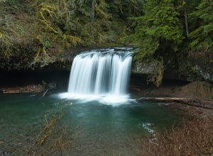
4.00.73 mi / 308 ft gainFrom Scott Mills Follow Crooked Finger RD NE for 13.3 Miles to the Upper Butte Creek Trailhead. The last 2-3 miles or so is gravel road with some potholes but most cars shouldn't have a problem. The path down to the falls starts near the bathrooms. A short .3 mile walk on a few switchbacks and...Read more -
Gates, Oregon
Natural Rock Arch
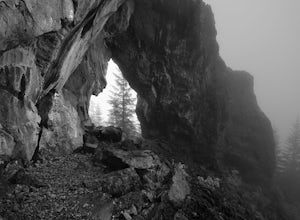
5.00.68 mi / 449 ft gainThe Santiam Forest is well known for its many beautiful spots, but this one is fairly uncommon. It's likely you will be the only person out here. Since it's such a short hike, just about a mile round trip, you could easily make it a pit stop on your way to or from someplace else and not have to w...Read more -
Lyons, Oregon
Henline Falls Trail
5.01.71 mi / 312 ft gainThe trail is a washed out, old mining road making its way through a lush forest with a mix of ferns, moss covered trees, and towering Douglas Firs with trees blown over from wind storms lining both sides of the trail. I call those Big Foot traps. The trail comes to a fork, stay to the left you ar...Read more -
Lyons, Oregon
Swim at Three Pools
5.0To get there from Salem, Follow Hwy. 22 east to Mehama. Turn on Little North Santiam Road (FS 2209) and proceed for 12 miles to Three Pools Day Use Area. Three Pools is by far one of the most popular swimming holes in the Northwest. With multiple swimming holes within just feet from one another i...Read more -
Detroit, Oregon
Dome Rock via the Upper Trailhead
2.36 mi / 479 ft gainFrom Highway 22 at the Breitenbush River Bridge, in Detroit, turn north on to French Creek Rd. Drive up French Creek about 7.7 miles to the Upper TH #3379/3381 to Dome Rock and Tumble Lake. The trail can be found on the left side of the road and is easily seen after you pass it. It's best to pass...Read more -
Falls City, Oregon
Ride Black Rock Mountain Bike Trails
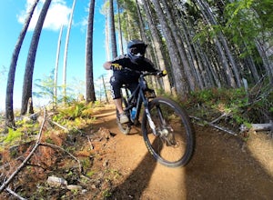
5.010 mi / 2000 ft gainBlack Rock Mountain Bike area is the perfect place to hone your MTB skills and take your riding to the next level. Black Rock offers clearly marked single track trails riddled with wooden ramps, berms and dirt features. There are trails ranging from "green" to "double black diamond", ensuring the...Read more -
Eugene, Oregon
Wild Iris Ridge Loop from Summit Sky Boulevard
5.01.58 mi / 220 ft gainWild Iris Ridge Loop from Summit Sky Boulevard is a loop trail where you may see beautiful wildflowers located near Eugene, Oregon.Read more -
Foster, Oregon
Iron Mountain
4.71.79 mi / 610 ft gainGetting There There are a couple of different routes to the summit of Iron Mountain. This adventure article focuses on the shorter but more strenuous hike to the summit of Iron Mountain. To get there, drive to the upper trailhead (Trail # 3389) via Highway 20. Take Forest Service Road (FSR) 035 ...Read more -
Lyons, Oregon
Cedar Flat and Kopetski Trail Loop
9.62 mi / 958 ft gainOn Saturday, I slid into the backseat alongside weekend belongings crammed in the car trunk. Backpacks with patches and streaks of dust. Bags of food that could be cooked over the flames of a fire. We drove south on the 5, leaving Portland and crossing through Salem, as Lake Street Dive albums p...Read more

