La Pine, Oregon
Looking for the best photography in La Pine? We've got you covered with the top trails, trips, hiking, backpacking, camping and more around La Pine. The detailed guides, photos, and reviews are all submitted by the Outbound community.
Top Photography Spots in and near La Pine
-
Deschutes County, Oregon
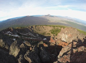
Summit Black Crater
5.08 mi / 2211 ft gainThe Black Crater Trailhead parking lot is accessed off the McKenzie Pass (Hwy 242). The trailhead starting elevation is 5,040ft. (using the iPhone app "Topo Maps". Great app) with a 3.8 Mile hike one way to the Black Crater Summit at 7,251ft of elevation. Some parts of the trail are steep and g...Read more -
Diamond Lake, Oregon
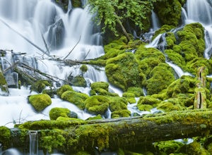
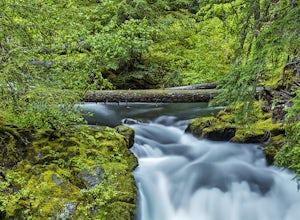
Clearwater Falls
4.30.15 mi / 7 ft gainThis has to be one of the most overlooked waterfalls in Oregon. It doesn't get a lot of publicity, and it's tucked away in south-central Oregon. As such, many people don't pay it much attention. That's too bad. Clearwater Falls can be found just off Highway 138, near mile marker 69. Clearwater F...Read more -
Crescent, Oregon
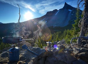
Base of Mt. Thielsen via Mt. Thielsen Trail
4.77.26 mi / 1926 ft gainThe Trail begins at Mt. Thielsen Trailhead/Sno Park and takes you up through a vast forest of pines. As you ascend, Diamond Lake will slowly start to peak through. Continue straight at mile marker 1.6 and keep an eye out for Mt. Thielsen ahead. Just before entering Mount Thielsen Wilderness aroun...Read more -
Crescent, Oregon
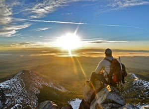
Mt. Thielsen Summit
2.88.88 mi / 3291 ft gainIt may look quite intimidating from the base and surrounding areas but this hike/climb to the summit is quite straightforward and the standard route is non-technical. That being said, there are areas with some significant exposure with 2200 foot drops on its north and east faces that will definit...Read more -
Deschutes County, Oregon
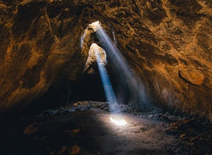
Skylight Cave
4.40.2 mi / -25 ft gainThe hardest part about getting to Skylight Cave is the drive. Start by coming from Sisters, Oregon, and use the driving directions below to find it. The Google Maps pin is accurate, and if you like coordinates, you can use 44°20'55.3"N 121°42'55.9"W as well. It's recommended you download an offl...Read more -
Idleyld Park, Oregon
Whitehorse Falls
3.0In June of 2015, I visited as many remote waterfall locations in Oregon as I could find. Whitehorse Falls, located along the Clearwater River in Douglas County, was one of those on my list. It's a small waterfall that is just off highway 138 (about 4.5 miles east of Toketee Falls) in Central Oreg...Read more

