La Pine, Oregon
Looking for the best hiking in La Pine? We've got you covered with the top trails, trips, hiking, backpacking, camping and more around La Pine. The detailed guides, photos, and reviews are all submitted by the Outbound community.
Top Hiking Spots in and near La Pine
-
Bend, Oregon
Hike the Fall River Trail
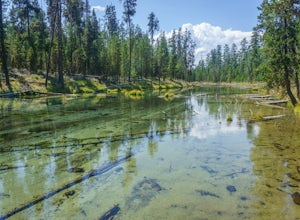
5.9 mi / 101 ft gainThe Fall River Trail follows meanders through an old growth ponderosa pine forest along the banks of the Fall River. There are several pull-out parking spots along Forest Service Road 42 but probably the easiest is to start at the Fall River Campground day-use area. The day-use area has pit toile...Read more -
La Pine, Oregon
Paulina Falls Hike to Paulina Lake
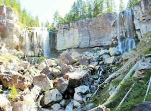
0.6 mi / 300 ft gainFirst take the short 1/4 mile hike down to the lower lookout. Get there early to beat the crowd and get unobstructed views. The Paulina Falls is an 80 ft. twin waterfall. It's gorgeous. After you see the falls from the lower lookout, you can walk back up to the upper lookout for a different view....Read more -
La Pine, Oregon
Hike up Paulina Peak
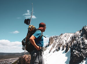
5.06 mi / 1800 ft gainDistance: 6 miles, out-and-back (Can also be done as a 12 mile loop via Crater Rim Trail). Starting at Paulina Lake, just past the Visitor Center lies a marked trailhead for Paulina Peak. The trail starts close to the road and winds through the forest around the back of some lake maintenance fac...Read more -
La Pine, Oregon
Hike to Paulina Lake Hot Springs
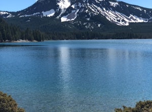
5.02.4 miStarting at Little Crater Campground, head north toward the hot springs (43.730, -121.247). If you're really looking to stretch your legs, you can extend the out-and-back hike to a full loop around the lake just shy of 8 miles. The water in the springs is around 95 degrees, and doesn't smell of s...Read more -
Bend, Oregon
Explore the Lava River Cave
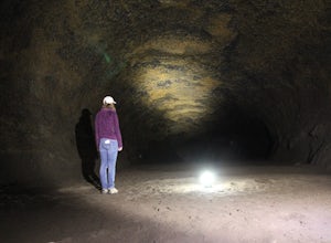
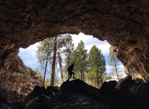
5.0Located just 12 miles South of Bend and 5 miles Northeast of Sunriver in the Deschutes National Forest, the Lava River Cave is a unique experience the whole family can enjoy. To get there from Bend, drive South on Highway 97 for about 10 miles until you see a large sign for the Lava Lands Visitor...Read more -
Bend, Oregon
Bike or Hike The Deschutes River Trail
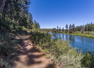
22 mi / 1280 ft gainThe Deschutes River Trail is a must do mountain bike ride or hike in between Sunriver and Bend, Oregon. The river varies from calm water to waterfalls. The trail follows along the river and goes through pine forests, meadows, and lava flows. Most of the single track is smooth with a few more tech...Read more -
Bend, Oregon
Deschutes River Trail: Benham Falls to Slough Meadow
5.04.51 mi / 364 ft gainDeschutes River Trail: Benham Falls to Slough Meadow is an out-and-back trail that takes you by a river located near Bend, Oregon.Read more -
Bend, Oregon
Hike to Lucky Lake
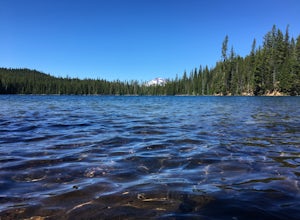
5.02.5 mi / 405 ft gainLocated just 4.36 miles past the popular Elk Lake Day Use turnoff, the trailhead is on the right side of the highway, marked by a small 'trailhead' sign. The hike begins at the Senoj Lake Trailhead and climbs up to the lake for 1.26 miles. Once you reach the lake, you can choose to go left or rig...Read more -
Bend, Oregon
Deschutes River Trail: Lava Island Trailhead to Benham Falls
13.13 mi / 673 ft gainDeschutes River Trail: Lava Island Trailhead to Benham Falls is an out-and-back trail that takes you by a river located near La Pine, Oregon.Read more -
Bend, Oregon
Hike Bessie Butte
4.41.5 mi / 500 ft gainJust a mere 15 minutes outside of Bend, Oregon the Bessie Butte Trail is a wonderfully scenic hike to overlook Bend on one side and the Deschutes National Forest on the other. The butte provides an excellent view of the surrounding mountains of which there are many: Mount Bachelor, The South Sist...Read more -
Bend, Oregon
Deschutes River Trail: Meadow Day Use Area
5.06.6 mi / 279 ft gainDeschutes River Trail: Meadow Day Use Area is an out-and-back trail that takes you by a river located near Bend, Oregon.Read more -
Bend, Oregon
Hike Mt. Bachelor Sunrise to Summit
4.56 mi / 2615 ft gainThe Sunrise to Summit Trail on Mt. Bachelor is the easiest and most straightforward way for peakbaggers to reach the summit of one of Central Oregon’s classic volcano climbs. The top boasts views of Broken Top, the Three Sisters, and even Mt. Jefferson beyond. Mt. Bachelor’s official Sunrise to S...Read more -
Bend, Oregon
Explore Arnold Ice Caves
4.00.95 mi / 26 ft gain...Deep in the central Oregon Forest is a cave that is surrounded by Juniper Trees, Ponderosa Pines and the landscape of a secret volcanic underground world! This short hike is located roughly 12 miles East of Bend, and makes for an epic adventure for all to enjoy. A little history on the cave.....Read more -
Bend, Oregon
Boyd Cave
5.00.69 mi / 66 ft gainLocated 20 miles southeast of Bend, Boyd Cave is a well preserved lava tube stretching close to a mile. To get there, take Highway 97 South through Bend and turn left on China Hat Road. Go straight for exactly 9 miles. Turn left at mile 9 onto the trail at FS242. You will know it has been 9 miles...Read more -
Bend, Oregon
Tumalo Mountain Trail
4.6There is an official trail to the summit that begins just North of the Dutchman Flat Sno-Park parking area. The trail is signed and states 1.5 miles to the summit. When there is snow on the ground, you will not see the the official trail. You will need snowshoes or skins, but you just head straig...Read more -
Bend, Oregon
Tumalo Mountain Trail
5.04.03 mi / 1430 ft gainStart by parking at Dutchman Flat Sno-Park, which is located just opposite to the base area at Mt. Bachelor. If you're doing this adventure during the summer, late spring, or early autumn you should be able to follow the Tumalo Mountain hiking trail all the way to the top. However, if you're visi...Read more

