La Pine, Oregon
Looking for the best chillin in La Pine? We've got you covered with the top trails, trips, hiking, backpacking, camping and more around La Pine. The detailed guides, photos, and reviews are all submitted by the Outbound community.
Top Chillin Spots in and near La Pine
-
Deschutes County, Oregon
Dee Wright Observatory
4.70.93 mi / 20 ft gainOn your way to Proxy Falls from Bend? Stop by the Dee Wright Observatory to take some photos of the gorgeous mountains. The Observatory is at the summit of McKenzie Pass in Oregon's Cascade Mountains. Built right in the middle of a large lava flow, the open structure itself is actually construct...Read more -
Deschutes County, Oregon
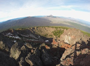
Summit Black Crater
5.08 mi / 2211 ft gainThe Black Crater Trailhead parking lot is accessed off the McKenzie Pass (Hwy 242). The trailhead starting elevation is 5,040ft. (using the iPhone app "Topo Maps". Great app) with a 3.8 Mile hike one way to the Black Crater Summit at 7,251ft of elevation. Some parts of the trail are steep and g...Read more -
Lane County, Oregon
Belknap Hot Springs
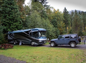
4.5This is a popular, family friendly spot, complete with two pools, indoor lodging, RV and tent camping, and hiking trails. The pools are kept at 185-195 degrees, with the smaller of the two being reserved for overnighters only. Day visitors are charged an hourly fee.Read more -
Lane County, Oregon
Terwilliger (Cougar) Hot Springs
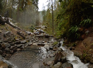
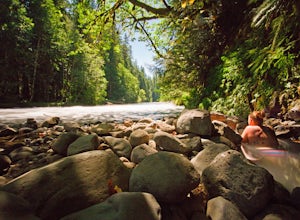
4.20.9 mi / 249 ft gainSoaking in Terwilliger (otherwise known as "Cougar") hot springs is a great way to relax and wind back while exploring the Cascades. A spring flows from a small cave and cascades into multiple pools leading down a small gully, creating pools which have varying temperatures from hot (closer to the...Read more -
Diamond Lake, Oregon
Clearwater Falls
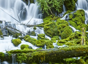
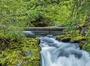
4.30.15 mi / 7 ft gainThis has to be one of the most overlooked waterfalls in Oregon. It doesn't get a lot of publicity, and it's tucked away in south-central Oregon. As such, many people don't pay it much attention. That's too bad. Clearwater Falls can be found just off Highway 138, near mile marker 69. Clearwater F...Read more -
Deschutes County, Oregon
Skylight Cave
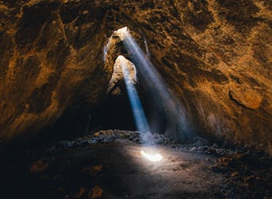
4.40.2 mi / -25 ft gainThe hardest part about getting to Skylight Cave is the drive. Start by coming from Sisters, Oregon, and use the driving directions below to find it. The Google Maps pin is accurate, and if you like coordinates, you can use 44°20'55.3"N 121°42'55.9"W as well. It's recommended you download an offl...Read more -
Lane County, Oregon
Bigelow Hot Springs
2.0Unlike many other springs you'll find, this pool has basically no barriers to entry – it is accessible via a short hike, has no fee, and is available year-round. While the temperature is less than 100 degrees, the scenic surroundings make up for the slightly less than hot water.Read more -
Idleyld Park, Oregon
Whitehorse Falls
3.0In June of 2015, I visited as many remote waterfall locations in Oregon as I could find. Whitehorse Falls, located along the Clearwater River in Douglas County, was one of those on my list. It's a small waterfall that is just off highway 138 (about 4.5 miles east of Toketee Falls) in Central Oreg...Read more

