Klamath Falls, Oregon
Looking for the best photography in Klamath Falls? We've got you covered with the top trails, trips, hiking, backpacking, camping and more around Klamath Falls. The detailed guides, photos, and reviews are all submitted by the Outbound community.
Top Photography Spots in and near Klamath Falls
-
Klamath Falls, Oregon
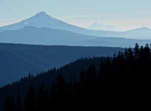
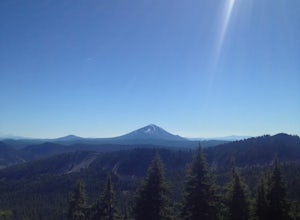
Hike to the Summit of Mt. McLoughlin
5.09 mi / 3900 ft gainThis is not an easy hike, but every step is more than worth it. Unlike Mount Thielsen to the north, this summit requires no scrambling/climbing; it's just a long, steep hike. Mount McLoughlin (named for John McLoughlin of Hudson's Bay Company and Oregon Trail fame) is a lava cone on top of a comp...Read more -
Tulelake, California
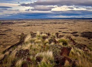
Hike Gillem's Bluff Trail in Lava Beds National Monument
4.51.5 mi / 393 ft gainStart from the parking lot just past the entrance booth at the Lava Beds National Monument. It is a straight forward hike up to the top of the bluff about .75 miles. Great views of the lava flows and surrounding mountains. It is a great place to view the sunset behind Mt. Shasta from the top.Read more -
Tulelake, California
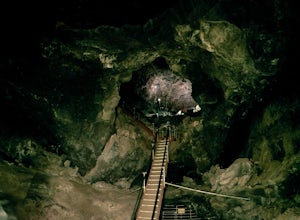
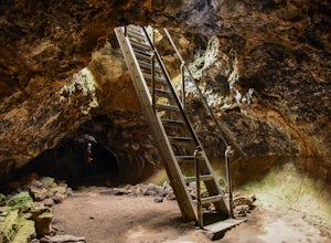
Descend Into Skull Cave of the Lava Beds National Monument
4.50.1 mi / -328.1 ft gainOnce you reach the Lava Beds National Monument stop by the visitors center to pay your fees, grab a map, and empty your bladder. From there you will drive your car up the road from the visitors center to Skull Cave.The visitors center will give you map and answer any questions you have. From the ...Read more -
Ashland, Oregon
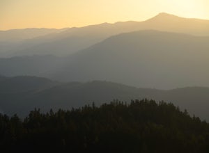
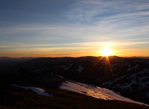
Hike to Hobart Bluff
2.5 mi / 200 ft gainHobart Bluff is part of the Western Cascades, a range of weathered volcanic mountains that are much older than the High Cascades that most people think of today, the range of Shasta, Rainier, and Hood. These mountains are shorter as a result of the work of time and usually have summits wrapped in...Read more -
Tulelake, California
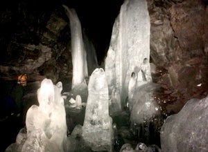
Explore Crystal Ice Cave, Lava Beds National Monument
1 miThis adventure is only accessed through a ranger guided tour by the staff at Lava Beds National Monument. A reservation is needed, go to recreation.gov to make a reservation space is limited. You will meet at the visitor center. The ranger will take you to the cave. Don't try to find the cave...Read more -
Tulelake, California
Spelunking in the Golden Dome Cave, Lava Beds National Monument
5.0Once you reach the Lava Beds National Monument stop by the visitors center to pay your fees, grab a map, and empty your bladder. From there you will drive your car to each cave entrance.Golden Dome Cave is the third cave on the cave loop. The entrance is about 25m from where you park. You will en...Read more -
Tulelake, California
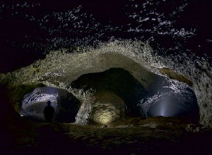
Explore the Catacombs at Lava Beds National Mounument
5.0Once you reach the Lava Beds National Monument stop by the visitors center to pay your fees, grab a map, and empty your bladder. From there you will drive your car to each cave entrance.The Catacombs are considered the most difficult and longest cave system at the Monument and is the sixth cave s...Read more -
Ashland, Oregon
Hike and Climb Pilot Rock
8 mi / 1000 ft gainPilot Rock is one of the most prominent features in the Cascade-Siskiyou National Monument and is visible from over 40 miles away in the Shasta Valley of northern California and the Rogue Valley of Southern Oregon.Similar to Devil’s Tower in Wyoming, though much smaller in stature, Pilot Rock is ...Read more -
Jackson County, Oregon
Backpack to Devil's Peak and the Seven Lakes Basin
3.013.7 mi / 3050 ft gainStarting at at elevation of 5250 feet, the trail climbs steadily from the trailhead for approximately 3.3 miles to pass at 6900 feet. From here you will come to a junction where going right will lead to Devils Peak and the PCT and going left (straight) will take down into the basin. If you starte...Read more -
Klamath County, Oregon
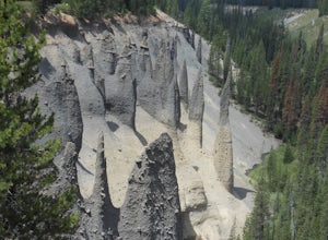
Hike through Pinnacles Valley at Crater Lake NP
3.01 mi / -100 ft gainThese needle-like formations of rock, called fossil fumaroles, projecting from the Sand Creek Canyon floor, were formed under sheets of volcanic pumice that preceded Mazama's collapse. As the surface of the hot pumice cooled over the years, steam and gases were released by the hot rocks underneat...Read more -
Siskiyou County, California
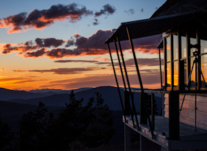
Camp Out at Little Mt. Hoffman Lookout
4.0If you've never stayed in a lookout, you should. It's not a thrilling get your adrenaline type of adventure, but more of a private, secluded, let's enjoy epic views and incredible company type of get away.Little Mt. Hoffman lookout is one of a few remaining historic lookouts that was built in the...Read more -
Ashland, Oregon
Summit Mt. Ashland
5.05 mi / 1550 ft gainSituated in Southern Oregon right near the California border lies the Siskiyou Mountain Range's tallest peak, Mount Ashland. Mount Ashland is a very popular area for many recreational activities, one of the most popular activities is skiing. The ski area was opened up in 1963 and has changed hand...Read more -
CRATER LAKE, Oregon
Visit the Lady of the Woods at Crater Lake
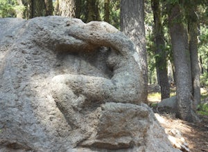
0.3 mi / 100 ft gainStart your adventure behind the Steel Visitor Center, halfway between the Mazama Village entrance of Crater Lake National Park and the lake itself. It won't take long before you stumble upon the mystery that is the Lady of the Woods: a dazzling, intricate sculpted rock that experts are unsure whe...Read more

