Gaston, Oregon
Top Spots in and near Gaston
-
Portland, Oregon
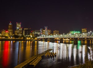
Night Photography at the OMSI Dock
4.5Starting at OMSI, walk towards the Hawthorne bridge, and away from the Tillicum bridge. After about a tenth of a mile, you will see a dock and the Hawthorne bridge. Walk down on the dock, or take pictures from above. For added adventure, walk under the Hawthorne bridge and take pictures from the ...Read more -
Vancouver, Washington
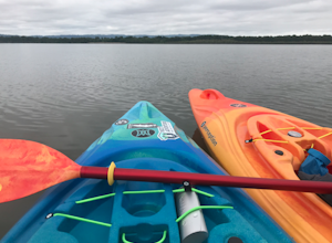
Kayak Vancouver Lake
This is a lovely shallow lake for kayaking with spectacular views of Mt Hood and Mt St. Helens on clear days. It’s an ideal spot for beginners to learn water sports including, kayaking, canoeing, paddle boarding and swimming. There is a beach and park available for those afternoon picnics and nap...Read more -
Nehalem, Oregon
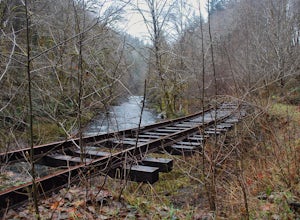
Hike the Salmonberry Train Track Trail
4.010 mi / 275 ft gainBeware, there is no actual trailhead! This trail (Lower Salmonberry River Hike) starts on Lower Nehalem Rd (Foss Rd) where the Salmonberry River and the Nehalem River meet. Before you cross the tracks, find parking there (but be aware of private property) and follow the train tracks into the fore...Read more -
Portland, Oregon
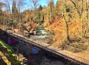
Run Springwater Corridor Trail
4.07 mi / 50 ft gainSpringwater Corridor is a 40-mile paved trail that stretches from downtown Portland all the way to Boring. This trail is wide, virtually flat, and yes, paved - but there is a clear manmade path on the dirt shoulders that's friendlier to knees. Any given day, you'll see dozens of cyclists and pede...Read more -
West Linn, Oregon
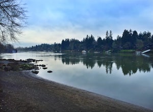
Run Old River Road to George Rogers Park
5.04.8 mi / 100 ft gainPortland and its surrounding suburbs are filled with trails and hidden treasures, including this stretch along the Willamette River. This road is a super popular pedestrian path and can be accessed from West Linn, the Mary's Woods and Marylhurst Development, or from Lake Oswego off of Highway 43....Read more -
Oregon City, Oregon
Walk the Canemah Bluff Loop
4.51.6 mi / 200 ft gainYou'll never stumble upon Canemah Park unless you're really looking for it. Tucked away in the hills of Oregon City above the Locks, this residential park has a miniature-sized set of everything you'd expect in a children's park: Playground, picnic benches, bathrooms, and wide, forested trails. D...Read more -
Portland, Oregon
Mount Tabor Park
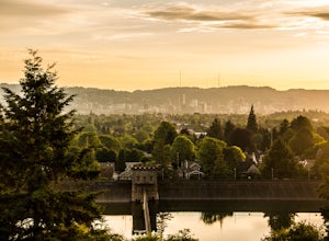
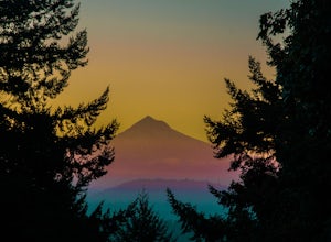
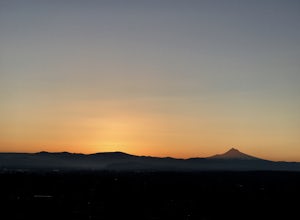
4.3Sitting 400 feet above the city with views of Mt. Hood and Portland doesn't sound to bad right?? Mount Tabor is located in Southeast Portland and is a once active volcano. There are 196 acres of park for you to explore. In order to photograph the best pictures of Mt. Hood I highly suggest gettin...Read more -
Portland, Oregon
Mount Tabor Loop
4.51.88 mi / 325 ft gainMount Tabor City Park is located in the heart of southeast Portland and is situated atop an extinct volcano. It’s comprised of more than 190 acres of beautiful Douglas Fir forest and features several relatively easy routes to the top: the easiest being the road you can drive (but what’s the fun i...Read more -
Gladstone, Oregon
Run the Clackamette Park Loop
1.2 mi / 10 ft gainClackamette Park is known for its prime destination right off of the freeway and across from Oregon City's most popular shopping area, but it's frequented for its public boat dock, RV facilities, and handicap-accessible picnic benches. While the rest of Portland's parks freeze over or flood, Clac...Read more -
Beaver, Oregon
Hebo Lake to South Lake via Pioneer Indian Trail
14.07 mi / 2697 ft gainHebo Lake to South Lake via Pioneer Indian Trail is an out-and-back trail that takes you by a lake located near Beaver, Oregon.Read more -
Portland, Oregon
Warrior Rock Lighthouse
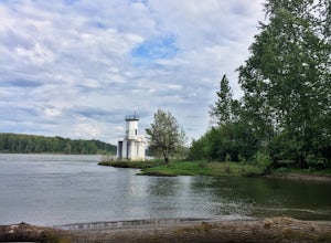
4.06.04 mi / 148 ft gainThis is a perfect easy hike close to Portland on Sauvie Island that offers more than just a walk through a forest. At the end of the 3 mile trail is a long secluded beach and the Warrior Rock Lighthouse. This has become one of my favorite go-to runs on a summer weeknight evening or for a quieter ...Read more -
Ridgefield, Washington
Hike Whipple Creek
3 mi / 200 ft gainEach trail is well maintained and easy to navigate through the area. All trails are either packed dirt or gravel depending on which trail you’re on. The Douglas-firs, hemlocks, ferns, Oregon grape and many other native tree and plant varieties grow in the area that make the area abound with wild...Read more -
Portland, Oregon
Rocky Butte
4.2Joseph Wood Hill Park is another under-the-radar gem right in the heart of the city. It’s located on Rocky Butte, an extinct volcanic cylinder cone, and provides a sweeping panoramic view of Portland and beyond. Accessing the park is easy – you can drive directly there and parking is plentiful. ...Read more -
Woodburn, Oregon
Explore the Woodburn Shoe Tulip Farm
4.0The Wooden Shoe Tulip Farm is open 9am-6pm and offers the public a chance to see their 40 acres of Tulips for a limited time during the year. Their tulip fest goes from late March to early May so double check to make sure they're open before you go.For $5 a person or $20 for a car this place off...Read more -
Tillamook, Oregon
Explore Bayocean Peninsula Park
5.08 mi / 100 ft gainLocated just west of Tillamook on the way to Cape Meares is an expansive forested park that juts out into Tillamook Bay. The main "trail" is an old unpaved narrow road called Bayocean Dike Road that stretches 4 miles down to the point. It's perfect for a long run, leisurely hike or mountain bikin...Read more -
Tillamook, Oregon
Big Spruce Trail
5.00.29 mi / 3 ft gainBig Spruce Trail is an out-and-back trail where you may see beautiful wildflowers located near Tillamook, Oregon.Read more

