Gaston, Oregon
Looking for the best hiking in Gaston? We've got you covered with the top trails, trips, hiking, backpacking, camping and more around Gaston. The detailed guides, photos, and reviews are all submitted by the Outbound community.
Top Hiking Spots in and near Gaston
-
Polk County, Oregon
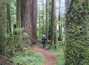
Walk the Valley of the Giants
5.0From the parking area, the Valley of the Giants trail crosses the Siletz River and passes a tranquil picnic spot before beginning a 1.3 miles loop trail through some of Oregon's oldest and largest Doug Fir trees. Many reach 500 years in age and heights exceeding 200 feet. In fall, vine maples exp...Read more -
Arch Cape, Oregon
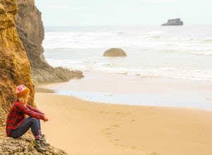
Hug Point Waterfall and Cave
4.60.67 mi / 141 ft gainHug Point is located just 4-5 miles south of the famous Cannon Beach along HWY 101 and is a must stop on any travel along the Oregon coast. Hug Point got its name from the original travelers to this beautiful area. Without the modern day highways we know today, visitors to this rugged coast line ...Read more -
Clatskanie, Oregon
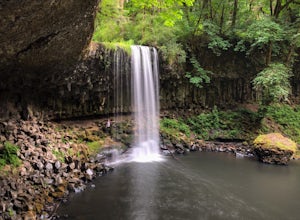
Beaver Falls Trail
3.00.58 mi / 0 ft gain…Beaver Falls is one of those spots where if you’re looking to avoid the crowd of the Columbia River Gorge, this is another good alternative on where you could go. Not only is that a huge plus, but it’s not often you get to experience a scenic waterfall that you don’t have to put in a ton of effo...Read more -
Otis, Oregon
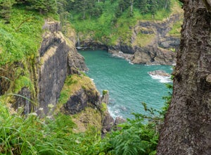
Hike Hart's Cove Trail
5.05 mi / 900 ft gainThe trail starts at the end of Forest Service Road 1861 which is closed January 1st through July 15th for wildlife conservation. This trail descends about 900 feet in elevation through a Sitka Spruce-Western Hemlock rain forest. You will cross two seasonal creeks and end at a prairie headland o...Read more -
Molalla, Oregon
Huckleberry, Mark's and Looney's Gate Loop
4.03.72 mi / 702 ft gainHuckleberry, Mark's and Looney's Gate Loop is a loop trail that takes you through a nice forest located near Molalla, Oregon.Read more -
Otis, Oregon
Hike to Cascade Head
4.56.8 mi / 1200 ft gainCascade Head on the Oregon Coast sits a top a 270 acre preserve protected by the Nature Conservancy and is a National Scenic Research Area and a United Nations Biosphere Reserve. From the south trail head at Knight Park the trail winds through an old growth coastal forest before climbing 1200 ver...Read more -
Otis, Oregon
Hike to Drift Creek Falls
4.93.5 mi / 490 ft gainThis hike down to Drift Creek Falls is more of an easy stroll. But before you reach the trail head, if coming from the north, make sure to stop at Oregon's oldest covered bridge off Bear Creek Rd.The trail head to Drift Creek Falls will be farther south on Bear Creek Rd where you will branch off ...Read more -
Cannon Beach, Oregon
Crescent Beach Trail
5.02.28 mi / 797 ft gainHead off the 101 to Ecola State Park and drive to the large main car area. From here the trailhead is located just above the restroom facility and is well signed, you can't miss the huge placard. Starting with a few short incline stair sets, you will hit the main roadway; follow the sidewalk for ...Read more -
Lincoln City, Oregon
Hike to God's Thumb
4.02 mi / 800 ft gainFrom Road's End State Park, map your way to the end of NE Port Street and park on a pull off next to the described gate: on your right you'll see the gate with three skinny trees to the right of it. You'll want to park as close to this gate as possible, this will be in between some houses on a hi...Read more -
Scotts Mills, Oregon
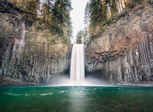
Abiqua Falls
4.90.69 mi / 115 ft gainThis trail is unmarked and a little rough and rugged. The land is privately owned by Mount Angel Abbey, but they don't appear to have problems with courteous hikers. Walking out of the parking area back up the road in the direction you came from, you’ll pass one dirt trail right at the ending of ...Read more -
Silverton, Oregon
Camp in Silver Falls State Park
4.68.7 mi / 1300 ft gainIf you're thinking of hiking the Trail of Ten Falls Loop and staying overnight, there are 42 tent campsites (available from April – Oct) as well as 14 rustic cabins. With multiple beds, heat, electricity, a covered porch, and a small fridge, they provide the perfect respite after a long day of ex...Read more -
Drake Crossing, Oregon
Trail of Ten Falls Loop
4.77.16 mi / 1178 ft gainThe unique feature of South Falls, Lower South Falls, and Middle North Falls are the paths that pass behind the falls providing an amazing visual and auditory experience; however, be sure to have a good bag for your equipment to avoid water damage and a decent jacket (preferably water-resistant)....Read more -
Corbett, Oregon
Latourell Falls Loop
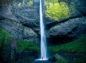
4.72.02 mi / 820 ft gainLatourell Falls is a beautiful and unique waterfall in the Columbia River Gorge in Oregon. This amazing waterfall is just a few hundred yards from the road and parking lot. Once you park, there is a viewpoint for the falls that is straight ahead. The view from there isn't that great compared to ...Read more -
Astoria, Oregon
Youngs River Falls
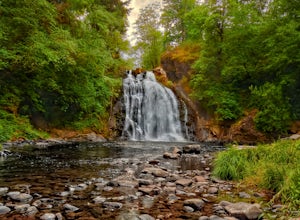
4.50.33 mi / 59 ft gainYoungs River Falls is a scenic 50-foot waterfall on Youngs River, about 15 minutes outside of Astoria. The falls are somewhat unique in that the base is located only about 10 feet above sea level From Astoria. The falls have been featured in several movies, most notably Free Willy 2 and Teenage M...Read more -
Silverton, Oregon
South Silver Falls
5.02.14 mi / 361 ft gainSouth Silver Falls is a loop trail that takes you by a river located near Silverton, Oregon.Read more

