Falls City, Oregon
Looking for the best hiking in Falls City? We've got you covered with the top trails, trips, hiking, backpacking, camping and more around Falls City. The detailed guides, photos, and reviews are all submitted by the Outbound community.
Top Hiking Spots in and near Falls City
-
Cloverdale, Oregon
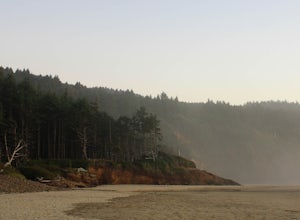
Cape Lookout
4.54.74 mi / 1135 ft gainCape Lookout is a two-mile long peninsula that juts into the Pacific Ocean from Oregon's rugged coastline. The park features more than 170 campsites, yurts, rustic cabins, and a day-use area, all located a short walk from the beach. There are roughly 10 miles of trails ranging from easy to mode...Read more -
Cloverdale, Oregon
North Trail
3.04.22 mi / 1053 ft gainThe North Trail at Cape Lookout State Park in Oregon is a challenging (hilly) route with beautiful views of the Pacific Ocean. Start at trailhead along Cape Lookout Road. There are 3 trails available, North, Cape Lookout, and South trails. Follow signs for the North trail. The trail drops stee...Read more -
Scotts Mills, Oregon
Upper Butte Creek Falls
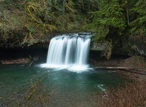
4.00.73 mi / 308 ft gainFrom Scott Mills Follow Crooked Finger RD NE for 13.3 Miles to the Upper Butte Creek Trailhead. The last 2-3 miles or so is gravel road with some potholes but most cars shouldn't have a problem. The path down to the falls starts near the bathrooms. A short .3 mile walk on a few switchbacks and...Read more -
Lebanon, Oregon
Hike McDowell Creek County Park
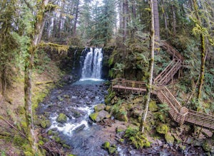
4.9GPS coordinates Lat: 44.46389 Long: -122.68278Exit off I-5 in Albany onto Highway 20 and proceed for approximately 20 miles to McDowell Creek Road and turn left, follow McDowell Creek Road - watching for signs for the park - for about 6 ½ miles, to the first of three parking areas within the park...Read more -
Molalla, Oregon
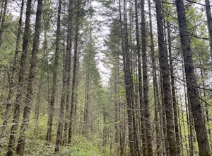
Huckleberry, Mark's and Looney's Gate Loop
4.03.72 mi / 702 ft gainHuckleberry, Mark's and Looney's Gate Loop is a loop trail that takes you through a nice forest located near Molalla, Oregon.Read more -
Sweet Home, Oregon
Horse Rock Ridge Research Natural Area
5.03.74 mi / 951 ft gainHorse Rock Ridge Research Natural Area in Sweet Home, Oregon, offers a unique hiking trail that spans approximately 3.74 miles. The trail is moderately difficult, with an elevation gain of 951 feet, making it suitable for intermediate hikers. The trail begins in a dense forest of Douglas fir and ...Read more -
Oceanside, Oregon
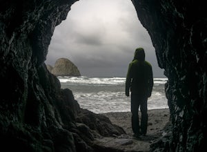
Tunnel Beach
5.00.47 mi / 75 ft gainThe main beach is located adjacent to Oceanside Beach State Park, which can be accessed via Cape Meares Loop/Netarts Oceanside Hwy. Once you arrive at the park, head down towards the beach and start walking North. You'll notice a little hole-in-the-wall past a small group of rocks which you'll h...Read more -
Oceanside, Oregon
Oceanside Beach Trail
4.00.86 mi / 144 ft gainOceanside Beach Trail is an out-and-back trail that provides a good opportunity to view wildlife located near Tillamook, Oregon.Read more -
Blachly, Oregon
Triangle Lake Rock Slides and Lake Creek Falls
4.7Stay cool on a hot summer day with a natural rock water slide, multiple swimming hole areas, and multiple waterfalls. This is perfect for relaxing in the sun! The sign for the parking area is upstream of the falls. There is a store across from the lake if you need any last minute food and drinks...Read more -
Tillamook, Oregon
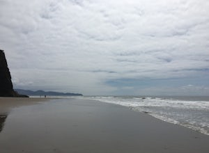
Hike along Short Beach, Oregon
5.00.25 mi / 200 ft gainHike: The trail is basically a handmade wooden staircase that takes you all the way down to the beach, so once you locate it, just keep following the stairs all the way down until you've reached the beach.Directions: Drive North along Cape Meares Loop Rd just past Oceanside until you reach the po...Read more

