Deschutes, Oregon
Looking for the best chillin in Deschutes? We've got you covered with the top trails, trips, hiking, backpacking, camping and more around Deschutes. The detailed guides, photos, and reviews are all submitted by the Outbound community.
Top Chillin Spots in and near Deschutes
-
Bend, Oregon
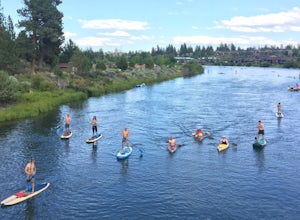
Float or Paddle The Deschutes River
4.7Looking for something fun to do in Bend when the weather gets warm? Look no further. The easiest way to make this happen is to take your crew down to Riverbend Park. There's ample parking, on-site rentals of all kinds, and a beach for launching. The park also features a lot of nice grass areas fo...Read more -
Terrebonne, Oregon
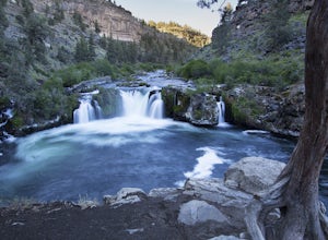
Hike to Steelhead Falls
4.81 mi / 120 ft gainFollowing along the Dechutes river for half a mile you will see where the river progressively gets more aggressive. On both sides of the trail you will see beautiful mountain inclines and jagged cliffs. If your lucky you might just see a bald eagle soaring high above! Along with Steel Head being ...Read more -
Bend, Oregon
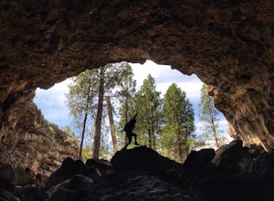
Explore Arnold Ice Caves
4.00.95 mi / 26 ft gain...Deep in the central Oregon Forest is a cave that is surrounded by Juniper Trees, Ponderosa Pines and the landscape of a secret volcanic underground world! This short hike is located roughly 12 miles East of Bend, and makes for an epic adventure for all to enjoy. A little history on the cave.....Read more -
Bend, Oregon
Hike Tam McArthur Rim Trail
5.05.2 mi / 1500 ft gainThe Tam McArthur Rim Trail is a day hike in the Three Sisters Wilderness that will have you gaining about 1,500' of elevation for beautiful views of Three Creek Lake and the surrounding Three Sisters Mountains. On a clear day you can also catch a peak of Mt. Bachelor Ski Area. The trail is less ...Read more -
Bend, Oregon
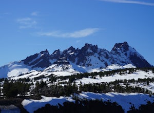
Camp at Todd Lake
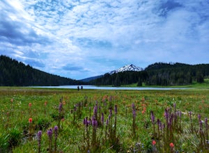
4.0Todd Lake is a beautiful yet small lake just 24 miles West of Bend. Its location is perfect for accessing Broken Top Mountain, and even better for the view of Mount Bachelor.Spend a day at Todd Lake and enjoy fishing (mostly rainbow trout), swimming, and free access to three different locations o...Read more -
Prineville, Oregon
Fly Fish Crooked River
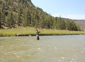
5.0Head East out of Bend, Oregon towards Prineville Reservoir State Park and Highway 27, which runs along the Crooked River. It is about an hour outside of Bend. Once you reach Highway 27 (Crooked River Highway), there are several campgrounds and pull-outs along the side of the road where you can st...Read more -
Deschutes County, Oregon
Skylight Cave
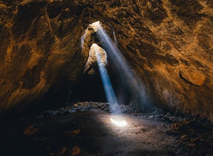
4.40.2 mi / -25 ft gainThe hardest part about getting to Skylight Cave is the drive. Start by coming from Sisters, Oregon, and use the driving directions below to find it. The Google Maps pin is accurate, and if you like coordinates, you can use 44°20'55.3"N 121°42'55.9"W as well. It's recommended you download an offl...Read more -
Deschutes County, Oregon
Hike to Moraine Lake Beneath South Sister
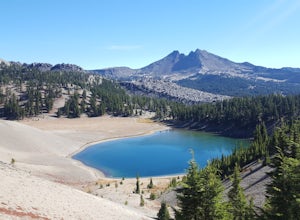
5.05 mi / 1476 ft gainThe lake is less than 3 miles from Devils Lake. Starting from the Trail head along Cascade Lakes Highway you gain 1,476 feet of elevation. You will follow the South Sisters Climbers trail, it is well traveled, and well marked. The majority of the elevation gain occurs in the first two miles, as y...Read more -
Deschutes County, Oregon
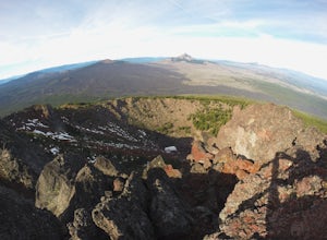
Summit Black Crater
5.08 mi / 2211 ft gainThe Black Crater Trailhead parking lot is accessed off the McKenzie Pass (Hwy 242). The trailhead starting elevation is 5,040ft. (using the iPhone app "Topo Maps". Great app) with a 3.8 Mile hike one way to the Black Crater Summit at 7,251ft of elevation. Some parts of the trail are steep and g...Read more -
Deschutes County, Oregon
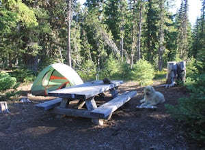
Camp at Lava Lake
4.5Beautiful spot to set your tent up for a night or longer.About 12 spots scatter the immediate campground area, but while hiking we spotted several more dispersed throughout the towering Ponderosa Pine trees. Most of the spots circle a small lake. The ground in this site is a VERY soft dirt, perfe...Read more -
Deschutes County, Oregon
Dee Wright Observatory
4.70.93 mi / 20 ft gainOn your way to Proxy Falls from Bend? Stop by the Dee Wright Observatory to take some photos of the gorgeous mountains. The Observatory is at the summit of McKenzie Pass in Oregon's Cascade Mountains. Built right in the middle of a large lava flow, the open structure itself is actually construct...Read more -
Camp Sherman, Oregon
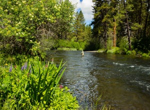
Fly Fishing the Metolius
5.0If there were a river in heaven it would be the Metolius. This gem located near Sisters Oregon offers year-round fly-fishing (only) to anyone who wishes to do so. The area offers multiple types of accommodations from tent camping to staying in resort-like cabins on the river. The best time to go...Read more -
La Pine, Oregon
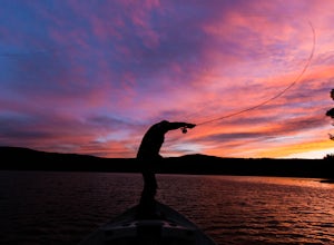
Camp and Fish on East Lake
East Lake is located in a very scenic part of Central Oregon about 30 miles East of the town of La Pine. At 6,400 feet in elevation, the lake is fed by snowmelt and underground springs. East Lake is know for it's trophy Brown Trout, Kokanee, Rainbow Trout and Atlantic Salmon. Because of the deep...Read more -
La Pine, Oregon
Hike to Paulina Lake Hot Springs
5.02.4 miStarting at Little Crater Campground, head north toward the hot springs (43.730, -121.247). If you're really looking to stretch your legs, you can extend the out-and-back hike to a full loop around the lake just shy of 8 miles. The water in the springs is around 95 degrees, and doesn't smell of s...Read more -
Camp Sherman, Oregon
Hike the West Metolius River Trail
8 mi / 280 ft gainThe West Metolius River trail is one of the finest river trails in Central Oregon due to its easy terrain, beautiful blue water, volcanic spring fed waterfalls, and forest views. The hike starts just downstream from the Lower Canyon Creek Campground, where there is a bathroom and some picnic tab...Read more -
Lane County, United States
Backpack the Obsidian Area
4.46 mi / 1800 ft gainThe Obsidian area is at least six miles from the closest trail head and 1800 feet of elevation gain. The best way to see the area is to plan a multi-day backpacking adventure. It is limited entry which is strictly enforced by the Forest Service. Only 30 day hikers and 40 overnight hikers are al...Read more

