Coos Bay, Oregon
Looking for the best photography in Coos Bay? We've got you covered with the top trails, trips, hiking, backpacking, camping and more around Coos Bay. The detailed guides, photos, and reviews are all submitted by the Outbound community.
Top Photography Spots in and near Coos Bay
-
Coos Bay, Oregon
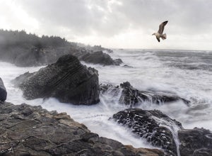
Photograph Shore Acres
If you find yourself in or around Coos Bay in Oregon, don't miss the opportunity to witness the most dramatic wave action you'll ever see. These gigantic waves are just mesmerizing! Shore Acres State Park is on the Cape Arago Hwy, 13 miles southwest of Coos Bay/North Bend and U.S. Highway 101. Th...Read more -
Lakeside, Oregon
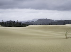
Hike the John Dellenback Dune Trail
1 mi / 100 ft gainI think the greatest appeal of the John Dellenback area is its diversity. The varied coastal ecosystems, including a creek and forest with moisture-loving souls like the newts and gigantic slugs contrasts significantly with the expansive sand dunes just beyond the edge of the tree line. In one ...Read more -
Coos Bay, Oregon
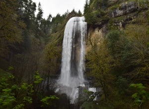
Hike through Golden and Silver Falls State Natural Area
4.53 mi / 570 ft gainGetting here was half the adventure. Google led us in quite the wrong way. Whatever you do, approach this park from Allegany, outside of Coos Bay. From Allegany there are signs to the park. The road is about 9 miles from here. Drive until the road dead ends with cement blocks. Here you will have ...Read more -
Winchester Bay, Oregon
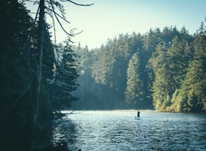
Paddleboard Lake Marie at the Umpqua Lighthouse State Park
The Umpqua State Lighthouse is an emerald gem of Oregon Coastal perfection: dense forest intermingled with lakes and streams spill out onto a massive dune system that plays gatekeeper to the Umpqua River as it empties into the roaring Pacific Ocean. Lake Marie sits nestled in the heart of the pa...Read more -
Bandon, Oregon
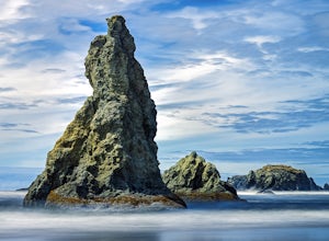
Explore the Beaches of Bandon
4.8Bandon, Oregon, located on the Southern Oregon coast, is about 90 miles north of the California border and about five hours south of Portland. In other words, it's just far enough away so that it has not become a touristy, seaside destination. And that's good news for all of us.This sleepy seasid...Read more -
Bandon, Oregon
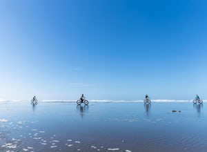
Fat Tire Bike the Bandon State Natural Area
3 mi / 20 ft gainThe Bandon State Natural area is a wide, mostly undeveloped section of the South Coast that is perfect for beachcombing, exploration, and fat tire biking with fun driftwood for tricks and jumps along with large flat shallow areas extending far out into the ocean. Sure you will get wet and always...Read more -
Port Orford, Oregon
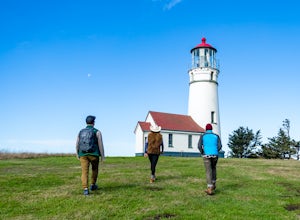
Tour the Cape Blanco Lighthouse
Located at the state's westernmost tip and perched over the Pacific Ocean, the Cape Blanco Lighthouse was built and 1870 and features views up and down the rugged Oregon Coast. Managed by the Bureau of Land Management, tours cost $2 for adults (free for youth 15 and younger). Tours: April-Oct. 31...Read more -
Mapleton, Oregon
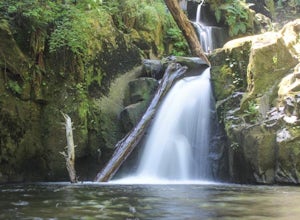
Hike to Sweet Creek Waterfall
4.82.2 mi / 100 ft gainMake sure you add this hidden gem to your waterfall chasing plans on your road trip to Oregon. This underrated Oregon waterfall is the perfect hike for the entire family. The trail offers four different falls from 10-30 feet high. The trail slowly climbs 2.2 miles through a beautiful thick forest...Read more -
Port Orford, Oregon
Hike the Port Orford Heads Trail
1.3 mi / 300 ft gainThe Port Orford Heads State Park comprises a drastically pronounced peninsula jutting out into the Pacific Ocean from the southern Oregon coast, providing breathtaking views both north to the Cape Blanco Lighthouse and south to Humbug Mountain and beyond. The Port Orford Heads Trail is the main l...Read more -
Port Orford, Oregon
Humbug Mountain Loop
5.32 mi / 2064 ft gainStarting out at the pullout on the highway across from the Humbug Mountain State Campground, follow the winding trail up through the forrest to the top of the mountain. There is a nice bench at the top for a snack (or a beer). The hike is fairly long and demanding, but isn't too steep due to th...Read more

