Clackamas, Oregon
Top Spots in and near Clackamas
-
Lyons, Oregon
Henline Falls Trail
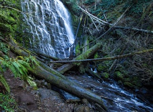
5.01.71 mi / 312 ft gainThe trail is a washed out, old mining road making its way through a lush forest with a mix of ferns, moss covered trees, and towering Douglas Firs with trees blown over from wind storms lining both sides of the trail. I call those Big Foot traps. The trail comes to a fork, stay to the left you ar...Read more -
Lyons, Oregon
Cedar Flat and Kopetski Trail Loop
9.62 mi / 958 ft gainOn Saturday, I slid into the backseat alongside weekend belongings crammed in the car trunk. Backpacks with patches and streaks of dust. Bags of food that could be cooked over the flames of a fire. We drove south on the 5, leaving Portland and crossing through Salem, as Lake Street Dive albums p...Read more -
Gates, Oregon
Opal Creek Pools Loop
4.66.6 mi / 663 ft gainNote: this trail is closed due to fire damage. For more updates, please visit the Forest Service website. The Opal Creek pools are a wonderful place to visit year-round, but they’re a true oasis on a hot summer day. With a variety of rock outcroppings and ledges to jump off of, and plenty of ro...Read more -
Lyons, Oregon
Swim at Three Pools
5.0To get there from Salem, Follow Hwy. 22 east to Mehama. Turn on Little North Santiam Road (FS 2209) and proceed for 12 miles to Three Pools Day Use Area. Three Pools is by far one of the most popular swimming holes in the Northwest. With multiple swimming holes within just feet from one another i...Read more -
Salem, Oregon
Minto-Brown Island Park
7.3 mi / 492 ft gainMinto-Brown Island Park Tail is a loop trail that takes you by a lake located near Salem, Oregon.Read more -
Salem, Oregon
Bridge and Orchard
3.26 mi / 220 ft gainBridge and Orchard is a loop trail that takes you by a lake located near Salem, Oregon.Read more -
Government Camp, Oregon
Trillium Lake
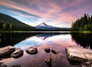
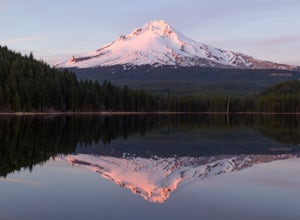
4.91.89 mi / 108 ft gainTrillium Lake is a popular camp spot at the base of Mount Hood. It's known for it's scenery, abundant recreational activities, and is family friendly. Boating, swimming and fishing are quite popular on the 63 acre lake. There is a small boat ramp within the campground and a larger ramp available ...Read more -
Government Camp, Oregon
Camp at Trillium Lake
4.5The reflection of Mt. Hood on the lake makes this trip definitely worth the visit.Try to arrive during the day so you can watch the sunset. For photographers, the south side of the lake is an amazing spot to take photos, especially on a windless day. For those looking to kayak or fish, there is a...Read more -
Government Camp, Oregon
Snowshoe or Cross-Country Ski to Trillium Lake
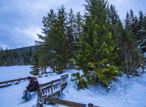
5.03.6 miStarting at the parking lot for Trillium Lake located right off of Highway 26, go past the locked gate and begin walking downhill. After about a mile, you will see a fork in the road. Either way will eventually take you to the lake, but going left will be much quicker and take you to the best spo...Read more -
Stayton, Oregon
Shellburg Falls
3.23.7 mi / 520 ft gainThis hike is currently closed due to fire damage. Please check the Oregon.gov website or the call the Oregon Department of Forestry (503-859-4344) for updates. The hike, including the initial 1.25 mile gravel road to the trailhead, is easy to complete within 1-2 hours and only requires a modera...Read more -
Gaston, Oregon
University Falls
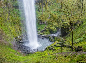
4.00.61 mi / 138 ft gainThe 0.3 mile hike to University Falls seems longer than it is because you'll be stopping to take pictures every step of the way. No, you're not in an enchanted forest, you're in the Tillamook National Forest. The waterfall you're about to find, however, certainly is enchanting. From Portland, he...Read more -
Government Camp, Oregon
Climb the Mt. Hood Summit
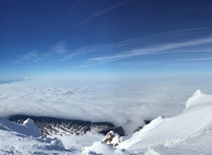
4.87 mi / 5239 ft gainStarting at 6,000 ft of elevation at Timberline Lodge, start your climb up the south side of Mt. Hood. If you head out at noon, in 6 hours you can make it about an hour past the last ski lift, called Palmer, where you can set up camp for the night. You may need to dig out a flat spot for your ten...Read more -
Government Camp, Oregon
Hike Paradise Park
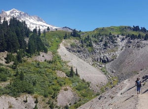
5.012 mi / 2300 ft gainThe hike begins at Timberline Lodge, which sits on Mount Hood at 6,000 feet of elevation. Find the Timberline trail behind the lodge by following any of the maze of trails heading east and you will be on your way! After 1.2 miles, you reach Little Zigzag Canyon where you will descend approximatel...Read more -
Government Camp, Oregon
Climb to Mt. Hood's Illumination Rock
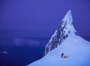
5.06 mi / 3600 ft gainThe Pacific Northwest has an abundance of beautiful, technical and fun Alpine ascents. For those looking to feel the rush of mountaineering but not wanting to push for a summit attempt, Illumination Rock on the southwest ridge of Mt Hood, offers a beautiful way to spend an afternoon or potential...Read more -
Government Camp, Oregon
Snowshoe to the top of Mount Hood's Palmer Ski Lift
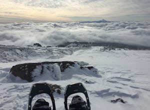
4 mi / 2560 ft gainEnding just a few thousand feet shy of the mountain top, Palmer Lift doesn't start operating until most ski resorts are nearing their close. This leaves most of the mountain nearly uninhabited and ideal for exploring with close up views of the complex summit above and well into Oregon down below....Read more -
Government Camp, Oregon
Photograph the Wildflowers at Timberline Lodge
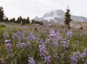
4.0From the mount hood scenic byway in Government Camp, Oregon turn on the road that heads up to the Timberline Lodge. Follow that road to the end and park in the lot all the way at the top. In the ski season you need a pass to park there, but if you go in June, July, Or August (aka when the wildflo...Read more

