Clackamas County, Oregon
Top Spots in and near Clackamas County
-
Portland, Oregon
Run Springwater Corridor Trail
4.07 mi / 50 ft gainSpringwater Corridor is a 40-mile paved trail that stretches from downtown Portland all the way to Boring. This trail is wide, virtually flat, and yes, paved - but there is a clear manmade path on the dirt shoulders that's friendlier to knees. Any given day, you'll see dozens of cyclists and pede...Read more -
Cook, Washington
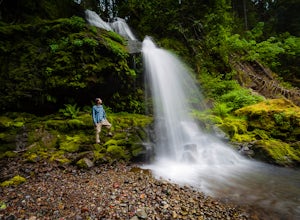
Spirit Falls
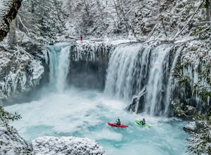
4.01.5 mi / 516 ft gainNOTE: Access to this hike is currently closed. A Part of this hike goes through private land. At this time, the landowner is not granting access to hikers. There are no signs or trail head for the falls, but it's a popular spot for kayakers and photographers, so look for a faint boot path direct...Read more -
Sisters, Oregon
Suttle Lake Loop
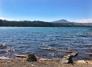
5.03.66 mi / 128 ft gainBeginning at the Suttle Lake Lodge just off Highway 20, the Suttle Lake Loop follows a wide dirt path that circumnavigates the entire lake. Hug the lake whenever the trail opens up to camping areas or pavement - it's nearly impossible to become lost on this track. Pass campsites, kayakers, and r...Read more -
Portland, Oregon
Mount Tabor Park
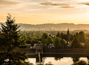
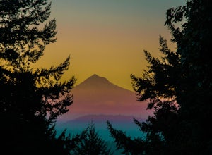
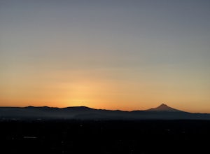
4.3Sitting 400 feet above the city with views of Mt. Hood and Portland doesn't sound to bad right?? Mount Tabor is located in Southeast Portland and is a once active volcano. There are 196 acres of park for you to explore. In order to photograph the best pictures of Mt. Hood I highly suggest gettin...Read more -
Carson, Washington
Steep Creek Falls
5.0Steep Creek Falls is located about 5 miles from the small town of Stevenson. Take Highway 14 one mile west of Stevenson to Rock Creek Drive and turn north, passing the Skamania Lodge and Resort. Turn left onto Ryan Allen Road and follow it for about a mile, then turn left onto Red Bluff Road. Fo...Read more -
Portland, Oregon
Mount Tabor Loop
4.51.88 mi / 325 ft gainMount Tabor City Park is located in the heart of southeast Portland and is situated atop an extinct volcano. It’s comprised of more than 190 acres of beautiful Douglas Fir forest and features several relatively easy routes to the top: the easiest being the road you can drive (but what’s the fun i...Read more -
Portland, Oregon
Tryon Creek Outer Loop
4.55.12 mi / 554 ft gainTryon Creek State Park has a fantastic, well-maintained trail system that’s a great alternative to Portland’s downtown Washington Park and Forest Park. It’s a super family-friendly area with a Nature Center that hosts kid’s events year-round. This entire area is relatively small and therefore eas...Read more -
Portland, Oregon
Tryon Creek Triple Bridge Loop
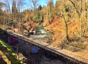
3.35 mi / 479 ft gainTryon Creek Triple Bridge Loop is a scenic approximately 3.5-mile loop with bridge crossings near downtown Portland. This trail is a great way to get outside, stretch your legs, and feel like you're away from the hustle and bustle of the city. This trail is dog-friendly on-leash. If you're look...Read more -
Portland, Oregon
Rocky Butte
4.2Joseph Wood Hill Park is another under-the-radar gem right in the heart of the city. It’s located on Rocky Butte, an extinct volcanic cylinder cone, and provides a sweeping panoramic view of Portland and beyond. Accessing the park is easy – you can drive directly there and parking is plentiful. ...Read more -
Hood River, Oregon
Bike from Hood River to The Dalles
2.040 mi / 2800 ft gainThe ride from Hood River to The Dalles is one of the best 20 mile stretches of road biking in Oregon, and arguably the best. The ride starts out in the wonderful town of Hood River - a tourist and adventure destination in its own right - and follows the historic Columbia River Gorge highway (US-3...Read more -
Stevenson, Washington
Three Corner Rock
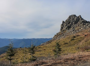
4.03.86 mi / 1093 ft gainFrom the Rock Creek Pass Trailhead, begin the short hike to Three Corner Rock by heading south on the Pacific Crest Trail from its crossing of Road CG 2090. After a steady 1.5-mile climb of roughly 600 feet, look for a large fallen sign marking the junction to Three Corner Rock. Shortly after, an...Read more -
Portland, Oregon
Paddle Around Ross Island
5.0This is a great little adventure for those looking to get on the water, but who don’t have time to escape the city. Paddle the loop around Ross Island for a scenic workout and a relaxing picnic.To begin your loop, put-in at Sellwood Riverfront Park – it features easy parking and sandy beach at al...Read more -
Hood River, Oregon
Kiteboard in the Columbia River Gorge
5.0Kiteboarding is one of the fastest growing sports in the world and for good reason. Imagine racing over the water with 30 mph winds, jumping from waves and grinding on a rail with your board. Ok ok maybe that is way to much for most of us and just standing up would be an accomplishment, but Kite...Read more -
Mosier, Oregon
Mosier Plateau Trail
2.79 mi / 600 ft gainThe Columbia River Gorge is full of hidden gems, especially for new folks like me. I just found out about this little trail right in the middle of Mosier Oregon. The trail is great for new hikers, and if you have some friends visiting this would be the perfect trail to take them on if they don'...Read more -
Linn County, Oregon
Mountain Bike the McKenzie River Trail
26 mi / -2200 ft gainMountain biking the McKenzie River Trail should be on every serious mountain biker's to-do list, since this trail has repeatedly been cited as the best mountain biking in the United States. The whole trail is an all-day, 26 mile epic, losing 2200 feet of elevation as it parallels the McKenzie Ri...Read more -
Yacolt, Washington
Hike Silver Star Mountain via Grouse Vista
4.56 mi / 2000 ft gainThe Grouse Vista Trailhead is located through the town of Washougal off of highway 14 just past Camas. Once you leave the city, the road will turn to gravel and dirt though it is fairly well maintained until snow arrive and accessible by most cars so long as you're willing to get drive over loose...Read more

