Clackamas County, Oregon
Looking for the best hiking in Clackamas County? We've got you covered with the top trails, trips, hiking, backpacking, camping and more around Clackamas County. The detailed guides, photos, and reviews are all submitted by the Outbound community.
Top Hiking Spots in and near Clackamas County
-
Idanha, Oregon
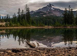
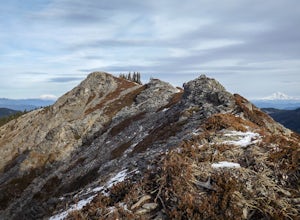
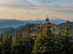
Hunt's Cove via Pamelia Lake Trail
14.74 mi / 3150 ft gainThis loop through the Pamelia Lake Limited Entry Area is one of the premier backpacking trips in the Mount Jefferson Wilderness. The trail offers sustained up-close views of Mount Jefferson and several lookout points provide panoramic views of the western Oregon Cascades. The several large back...Read more -
Gates, Oregon
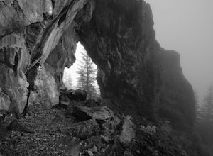
Natural Rock Arch
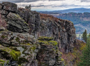
5.00.68 mi / 449 ft gainThe Santiam Forest is well known for its many beautiful spots, but this one is fairly uncommon. It's likely you will be the only person out here. Since it's such a short hike, just about a mile round trip, you could easily make it a pit stop on your way to or from someplace else and not have to w...Read more -
Molalla, Oregon
Huckleberry, Mark's and Looney's Gate Loop
4.03.72 mi / 702 ft gainHuckleberry, Mark's and Looney's Gate Loop is a loop trail that takes you through a nice forest located near Molalla, Oregon.Read more -
Scotts Mills, Oregon
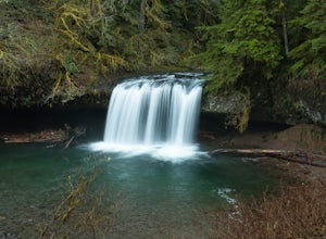
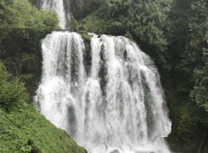
Upper Butte Creek Falls
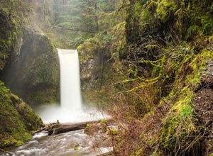
4.00.73 mi / 308 ft gainFrom Scott Mills Follow Crooked Finger RD NE for 13.3 Miles to the Upper Butte Creek Trailhead. The last 2-3 miles or so is gravel road with some potholes but most cars shouldn't have a problem. The path down to the falls starts near the bathrooms. A short .3 mile walk on a few switchbacks and...Read more -
Linn County, Oregon
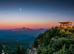
Coffin Mountain Fire Lookout
5.02.67 mi / 873 ft gainCoffin Mountain Fire Lookout is a beautiful day hike that takes you to its summit at 5771 feet elevation, covering roughly 1070 feet elevation gain. To get to the Coffin Mt. trailhead from Detroit OR, travel east on Highway 22 for approximately 19.5 miles to Forest Road 11 (Straight Creek Road)....Read more -
Cascade Locks, Oregon
Tomlike Mountain
4.57.65 mi / 1198 ft gainBeginning at the Wahtum Lake trailhead, follow the Wahtum Lake Express trail down to the shore and head east (right) around the lake. At the junction with the Pacific Crest Trail, follow the Herman Creek Trail to the east (right, again). You'll begin your ascent out of the Wahtum Lake bowl and to...Read more -
Cascade Locks, Oregon
Chinidere Mountain
4.83.18 mi / 1150 ft gainThe easy version of the Chinidere Mountain hike starts Wahtum Lake Trailhead. The road to the parking lot for Wahtum Lake is paved and thus very easy to access in summer and before snowfall in autumn! The mountain sits across the lake from the parking lot and there are several trails that will ta...Read more -
Corbett, Oregon
Hike to Upper Bridal Veil Falls
5.00.5 miAt the parking lot for Angel's Rest, turn left uphill on to Palmer Mill Road. Drive for about a mile, and park right past a tributary stream/small waterfall (pictured above) on your left that flows through a small pipe under the road. You will see a small space to park on the right. Park here and...Read more -
Marion Forks, Oregon
Marion Falls
4.14.12 mi / 968 ft gainThis hike explores an off-trail trip to one of my favorite waterfalls in Oregon. To kick off this hike, you'll start at the Marion Lake trailhead. The road to this trailhead is Marion Creek Road at mile point 66.5 off Highway 22. It's 4.3 miles until you reach the parking lot and start your journ...Read more -
Corbett, Oregon
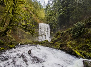
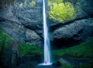
Latourell Falls Loop
4.72.02 mi / 820 ft gainLatourell Falls is a beautiful and unique waterfall in the Columbia River Gorge in Oregon. This amazing waterfall is just a few hundred yards from the road and parking lot. Once you park, there is a viewpoint for the falls that is straight ahead. The view from there isn't that great compared to ...Read more -
Scotts Mills, Oregon
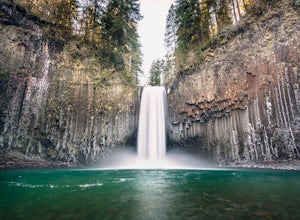
Abiqua Falls
4.90.69 mi / 115 ft gainThis trail is unmarked and a little rough and rugged. The land is privately owned by Mount Angel Abbey, but they don't appear to have problems with courteous hikers. Walking out of the parking area back up the road in the direction you came from, you’ll pass one dirt trail right at the ending of ...Read more -
Corbett, Oregon
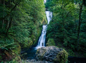
Bridal Veil Falls
4.10.54 mi / 144 ft gainThe trailhead for this short hike is right off of the Columbia River Highway just west of Multnomah Falls. You can't miss the parking lot for it; there is a sign for Bridal Veil and the parking lot is visible from the road. The hike is only 0.6 miles and has hardly any elevation gain (70 feet). ...Read more -
Bridal Veil, Oregon
Angel's Rest
4.34.45 mi / 1568 ft gainThe Columbia River Gorge is absolutely full of incredible hikes - that said, this is one of the best and requires less time and energy than some of the others. Starting at a paved parking lot right off the Historic Columbia River Gorge Highway (note: it's a very popular trail so arrive early or ...Read more -
Bridal Veil, Oregon
Devil's Rest-Wahkeena Falls Loop
4.09.82 mi / 2779 ft gainThis loop takes advantage of the western Columbia River Gorge's vast network of trails - hidden behind the roadside waterfalls - to allow you to visit several popular attractions without fighting traffic along the historic highway. All told, the loop hits 3 named waterfalls (Coopey Falls, Fairy F...Read more -
Cascade Locks, Oregon
Multnomah-Wahkeena Loop
4.35.11 mi / 2162 ft gainThe Multnomah-Wahkeena loop is a classic hike in the Columbia Gorge. Few hikes take you by as many waterfalls, and the tree cover makes it a great hike in the rain. Starting at the Multnomah Falls Parking Area, head to the main viewing area of Multnomah Falls. If you get there early in the morn...Read more -
Cascade Locks, Oregon
Larch Mountain's Summit
4.013.28 mi / 4629 ft gainDone as a loop or one way shuttle (in summer/fall), the full Larch Mountain experience starts at the large (but still always full) Multnomah Falls parking lot. There you'll have the chance to grab a final snack, use the restroom, and fill water bottles before joining all the "tourist" hikers on t...Read more

