Cascadia, Oregon
Looking for the best hiking in Cascadia? We've got you covered with the top trails, trips, hiking, backpacking, camping and more around Cascadia. The detailed guides, photos, and reviews are all submitted by the Outbound community.
Top Hiking Spots in and near Cascadia
-
Sisters, Oregon
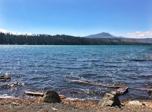
Suttle Lake Loop
5.03.66 mi / 128 ft gainBeginning at the Suttle Lake Lodge just off Highway 20, the Suttle Lake Loop follows a wide dirt path that circumnavigates the entire lake. Hug the lake whenever the trail opens up to camping areas or pavement - it's nearly impossible to become lost on this track. Pass campsites, kayakers, and r...Read more -
Deschutes County, Oregon
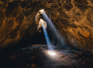
Skylight Cave
4.40.2 mi / -25 ft gainThe hardest part about getting to Skylight Cave is the drive. Start by coming from Sisters, Oregon, and use the driving directions below to find it. The Google Maps pin is accurate, and if you like coordinates, you can use 44°20'55.3"N 121°42'55.9"W as well. It's recommended you download an offl...Read more -
Camp Sherman, Oregon
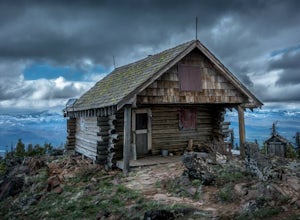
Black Butte
4.53.94 mi / 1493 ft gainJust outside of Sisters Oregon is the stunning and popular day hike to the summit Black Butte (Elevation 6,436 feet). At the top, spectacular views of the surrounding Cascades await the intrepid hiker. To get to the trailhead, turn off of Highway 22 onto National Forest Road (NFR) 11, also known...Read more -
Clackamas County, Oregon
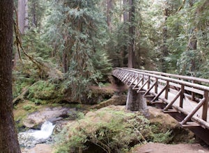
Bagby Hot Springs
4.32.91 mi / 397 ft gainBagby Hot Springs is actually a set of amazing bathhouses nestled in the forest outside of Estacada. They are one of Oregon’s most poplar hot springs, and for good reason. The hike into the hot springs is easy and quite scenic. You’ll cross a bridge over Nohorn Creek and follow the Hot Springs Fo...Read more -
Corvallis, Oregon
Hike Woodland Meadow Park Loop
0.5 mi / 59 ft gainThis trail is perfect for jogging or walking, with your pup! The loop is located near a popular dog park in Corvallis, and so can get crowded in the evenings after work. There is ample room for you dog and you to get out and enjoy nature.Read more -
Eugene, Oregon
Spencer Butte Loop
4.51.6 mi / 564 ft gainGetting There Searching Spencer Butte Trailhead Parking Lot on Google Maps will direct you to exactly where you need to go. From downtown Eugene/ UO you'll drive south on Willamette St. until you see an official park sign for Spencer Butte Park. Take a left on the gated road (will be locked duri...Read more -
Corvallis, Oregon
Explore the Finley Wildlife Refuge
4.3Starting at the visitor center, the trail begins west heading into the forest where you’ll only gain around a couple hundred feet of elevation. While you are hiking on this trail you are surrounded by conifer trees, little open areas of sitting water, and look outs that are hidden within the trai...Read more -
Eugene, Oregon
Wild Iris Ridge Loop from Summit Sky Boulevard
5.01.58 mi / 220 ft gainWild Iris Ridge Loop from Summit Sky Boulevard is a loop trail where you may see beautiful wildflowers located near Eugene, Oregon.Read more -
Camp Sherman, Oregon
Hike the West Metolius River Trail
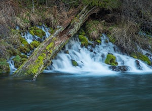
8 mi / 280 ft gainThe West Metolius River trail is one of the finest river trails in Central Oregon due to its easy terrain, beautiful blue water, volcanic spring fed waterfalls, and forest views. The hike starts just downstream from the Lower Canyon Creek Campground, where there is a bathroom and some picnic tab...Read more -
Marion County, Oregon
Explore Mt. Jefferson
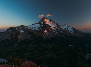
5.0I went for a quick overnighter. The end of August is great for weather, very little bugs, and perfect time to meet and chat with PCT through hikers.The weather was absolutely perfect for night photography and lounging around camp. It's also one of the best views in Oregon if you ask me.If you're ...Read more -
Marion County, Oregon
Hike Mt. Jefferson's Park Ridge
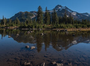
5.07.4 mi / 1500 ft gainFrom the Breightenbush Lake PCT trailhead (5,600ft Elevation) you hike through a thick forest until you reach an old burn area. This area was burned from a forest fire and has rebirthed lush green plants and bushes to help feed all the animals in the area. After a mile of climbing through the bur...Read more -
Deschutes County, Oregon
Chush Falls
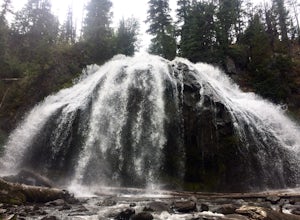
3.35.75 mi / 823 ft gainJust outside of Sisters, Oregon, near Bend, is a beautiful hike to a picturesque waterfall. It is rarely crowded thanks (and no thanks) to the Pole Creek Fire, which ravaged the area several years ago. Because of the fire, the hike and landscape have been drastically altered. What used to be a 2-...Read more -
Corvallis, Oregon
Dimple Hill Via Patterson Road 600
4.86 mi / 715 ft gainDimple Hill Via Patterson Road 600 is a loop trail where you may see local wildlife located near Corvallis, Oregon.Read more -
Corvallis, Oregon
Baker Creek Loop
9.42 mi / 1936 ft gainBaker Creek Loop is a loop trail that takes you by a river located near Adair Village, Oregon.Read more -
Corvallis, Oregon
Vineyard Mountain Loop
3.36 mi / 505 ft gainVineyard Mountain Loop is a loop trail located near Corvallis, Oregon.Read more -
Corvallis, Oregon
Lewisburg Saddle Upper Horse Trail Loop
4.53.17 mi / 630 ft gainLewisburg Saddle Upper Horse Trail Loop is a loop trail in McDonald-Dunn Forest located near Adair Village, Oregon. The trail is dog, horse, and Mountain Bike friendly. If bringing your pup, please be sure to keep in on-leash with horses and other wildlife potentially on the trail. The loop sin...Read more

